
Growing Guide
How to check if your property is contaminated for gardening
Sources: EPA FRS, EPA Superfund, EPA Brownfield, EPA UST Finder, EPA TRI, USGS NWIS, USDA NRCS, NOAA wind climatology
Last updated:
The federal government tracks roughly 1.8M contamination sites — Superfund, brownfield, underground storage tanks, industrial releases, mining, CAFO, pesticide, PFAS. The records are public. They are also fragmented across 8 federal databases, each with its own search interface, its own coordinate system, and its own conventions for what "near" means.
For a home grower asking a simple question — is it safe to grow food here? — the answer is in the record, but the work is in reading it. Here is the working guide.
What's documented near your address
Enter an address to screen it against the federal record — Superfund, underground storage tanks, brownfield, TRI, mining, CAFO, pesticide, and PFAS sites within reach. It's a screening estimate from documented sites and proximity, not a soil measurement — but it tells you whether a lab test is worth it before you plant.
 Source types
8
EPA + USGS federal record
Sites indexed
1.8M
National, all states
Pathways modeled
3
Road, wind, groundwater
What the federal record covers
These 8 federal source types matter for home growers. None of them are obscure; all of them are public. The lift is pulling them together for your address.
Superfund
Brownfield
Underground storage tanks
TRI industrial releases
Mining
CAFO
Pesticide history
PFAS
- Superfund (EPA CERCLIS / NPL). The most serious sites — actively remediating or completed long-term hazardous releases. Roughly 15,000 nationwide.
- Brownfield. Properties with known or potential contamination, often former industrial or commercial sites. Around 580,000 tracked.
- Underground Storage Tanks (UST). Active and closed tanks for fuel, heating oil, and chemicals. Around 737,000 records. Old tanks are a common source of petroleum contamination near older homes and gas stations.
- Toxics Release Inventory (TRI). Annual self-reported industrial releases from facilities — to air, water, or land. Roughly 73,000 facilities. Air releases are the relevant pathway for nearby growers.
- Mining (EPA + OSMRE). Active and abandoned mine lands — historic heavy-metal and acid-drainage risk. Around 65,000 sites.
- CAFO. Concentrated animal feeding operations — nutrient runoff, ammonia, antibiotic and pathogen pressure on nearby surface and groundwater. Around 10,000 federally registered operations.
- Pesticide history (USGS NAWQA EPest). County-level agricultural pesticide use estimates — around 108,000 county × chemical records. They flag lead-arsenate-era spray pressure across a county rather than mapping individual parcels, so treat this as a reason to test former orchard or farm ground, not as a property-level finding.
- PFAS. The EPA's growing public register of per- and polyfluoroalkyl contamination — firefighting foam, industrial use, military bases. Around 10,000 sites and climbing.
The questions growers actually ask
Is my soil safe to grow vegetables?
For most home gardens the answer is yes, with two checks first: what the public contamination record shows near your address, and — if you're on an urban lot, near a busy road, or by a pre-1978 house — a simple lab test for lead and arsenic. No single online tool can measure the soil in your beds. What the federal record can do is tell you whether your specific address sits near a documented source, so you know whether a test is worth the modest fee. A clean record plus a clean lead test is strong evidence your ground is fine for food.
How close to a road can I grow vegetables?
Vehicle-related lead and other metals concentrate in the soil closest to a busy road and drop off sharply with distance — most studies show the heaviest deposition within roughly the first 30 m (about 100 ft) of a high-traffic road. A few practical steps cover it: set edible beds back from the road shoulder where you can, plant a hedge or barrier between the road and the beds, and favor fruiting crops (tomatoes, beans, squash) over leafy greens and root crops right at the edge. If your beds have to sit close to heavy traffic, a lead test — or a raised bed with clean imported soil — is the honest fix.
Is it safe to garden near an old gas station?
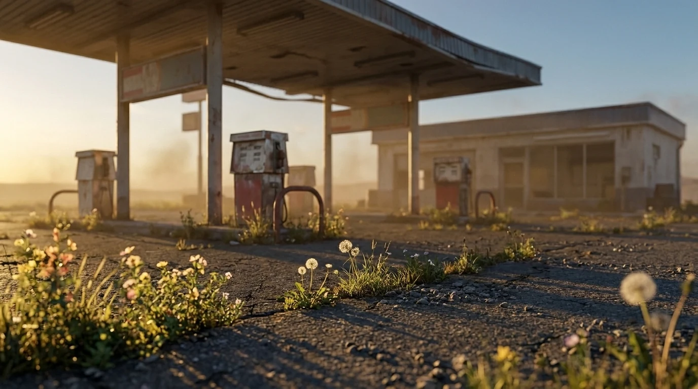
A former gas station is worth a closer look before you grow food nearby, because old fuel tanks are the single most common documented source in the federal record — the underground storage tank (UST) database alone holds around 737,000 entries, active and closed. The main concern is petroleum and its additives migrating through soil and shallow groundwater, so the direction of groundwater flow matters as much as the straight-line distance. This is exactly the kind of site that appears as a mapped point near your address on the screening above — rather than something you have to go dig out of a records office. If a tank site sits nearby and downgradient of your beds, a soil test before in-ground food production is the sensible step.
Does lead in the soil get into my vegetables?
Some, but not equally across crops — and most of the risk is soil clinging to the parts you eat, not lead drawn up through the plant. Leafy greens and root crops carry the most, because they either grow in direct soil contact or catch soil splash; fruiting crops like tomatoes, peppers, beans, and squash take up the least. If a soil test comes back elevated, you don't have to abandon the garden: wash produce well, peel root crops, mulch to cut splash, keep soil pH near neutral, and grow the higher-uptake crops in raised beds with clean imported soil. The federal record points you to whether testing is warranted; the crop you choose and how you prepare the bed do the rest.
Why direction matters more than distance
A nearby contamination site is not a binary on/off signal. Different contaminants travel through different media, in different directions, at very different distances.
Road runoff
Lead, zinc, hydrocarbons, salt. Travels along the road shoulder and with surface drainage. Risk drops sharply with distance — most studies show heavy-metal deposition concentrated within roughly 30m of a busy road.
Wind plume
Industrial air releases, mining dust, CAFO ammonia. Travels downwind — so the prevailing wind direction at your station matters more than straight-line distance. NOAA wind roses set the geometry.
Groundwater
Underground tanks, dry cleaners, leaking landfills. Travels with the aquifer — generally following terrain, but the actual direction depends on the water table and geology, not the road map.
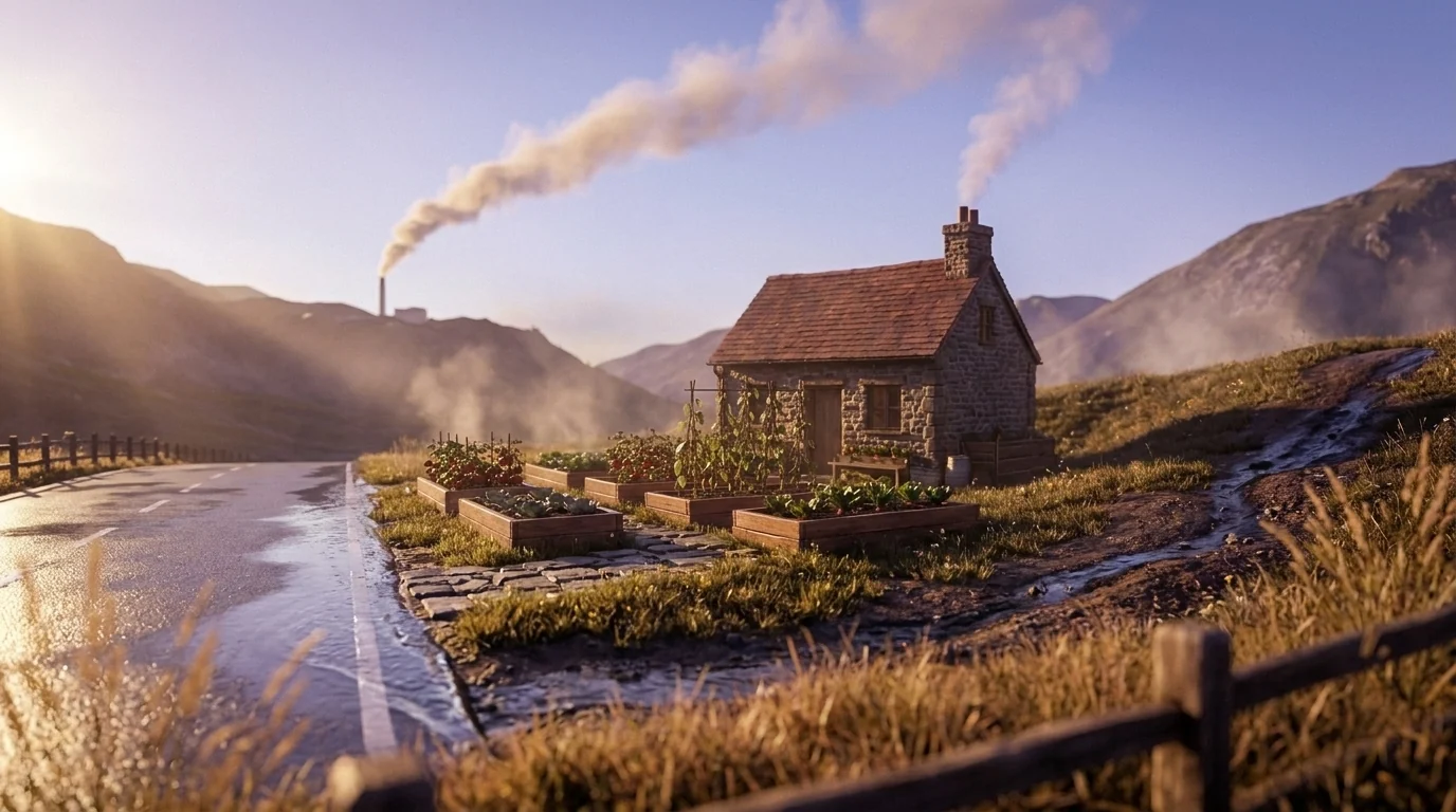
The Growable Ground contamination view renders each of these as a directional shape on the map — a road-aligned buffer, a downwind wedge, a groundwater plume — so the same site can read high-risk on one side of a parcel and low-risk on the other. This per-pathway view is patent-pending work that no generic mapping site offers today.
Check your address against the federal record
See contamination sites within reach, what kind, and which direction they travel.
Three things about your exact spot that zone averages miss:
We read public map data for this spot — soil, climate, flood, and parcel records. How we handle your address.
25+ data sources analyzed in seconds
How to read the result for your address
- No flagged sites within reach. Good baseline. Still worth a soil test for lead and arsenic if you are growing within 30m of a road or near a pre-1978 house.
- Flagged sites, but upwind / upgradient / off-axis from your land. Lower risk than the raw distance number suggests. Read the directional view to confirm; in many cases the standard precautions are enough.
- Flagged sites downwind / downgradient / on the road shoulder. Order a lab soil test through your state Cooperative Extension before you plant food in-ground. Heavy-metal panels are inexpensive; lab results guide what kind of remediation you need.
- Active Superfund or large industrial release within 500m. Talk to an environmental professional before food production. Raised beds with imported clean soil are often a workable answer, but the design is site-specific.
The platform shows the per-plant risk for each pathway on the paid plant view, so you see which crops are most affected by which contamination type — leafy greens accumulate differently than tomatoes; tree fruit differently than ground covers.
Authoritative starting points
- EPA — Search Superfund Sites Near You — the official viewer for the National Priorities List and active Superfund work.
- EPA Facility Registry Service (FRS) — the master federal index for regulated facilities. Underlies most of the source-type databases above.
- EPA UST Program — underground storage tank records and reporting.
- EPA Toxics Release Inventory (TRI) — annual industrial release reports by facility.
- USGS NWIS — the national groundwater and surface-water quality record.
- USDA Cooperative Extension — your state's Extension lab is where you order the lead and arsenic soil test once the federal screening points you to it.
Frequently asked questions
How do I find out what is documented near my address?
Enter your address into a screening tool that reads the public federal record and returns the documented sites within reach — Superfund, underground storage tanks, brownfield, TRI industrial releases, mining, CAFO, pesticide history, and PFAS. Growable Ground reads all 8 source types across roughly 1.8M indexed sites and shows which are nearby, what kind, and which direction they travel. It is a screening estimate from documented records and proximity — not a soil measurement — so a nearby record means testing is worth it, not that your soil is contaminated.
Is it safe to plant vegetables near a septic tank?
A working, well-maintained septic system is generally not a contamination source for a nearby vegetable garden, but keep edible beds off the drain field itself and out of any low spot where effluent could surface after heavy rain. The concern with septic is bacteria and nutrients rather than the heavy metals the federal contamination record tracks, so the practical rules are separation and drainage: give the beds a few feet of clearance, do not dig edible beds into the leach field, and wash produce well. If the system is old or failing, resolve that before growing food directly downhill of it.
I found lead paint chips in my garden soil. Is it safe to grow food?
Lead paint chips near a pre-1978 house are a common and real source of soil lead, so the right move is a lab test for lead before growing food in that ground. Remove visible chips, then test the soil where you plan to plant — your state Cooperative Extension runs an inexpensive lead panel. If levels come back elevated, raised beds with clean imported soil and a barrier layer let you keep gardening safely, and favoring fruiting crops over leafy greens and roots further lowers exposure. This is soil close to the structure, which the federal site record does not capture — so the lab test, not the map, is the check that matters here.
Should I get a soil test for contamination before I plant food?
If your address is near a Superfund site, an old industrial parcel, a busy road, a former orchard, or a known underground storage tank — yes, a lab test is the right next step. Your state Cooperative Extension can run a heavy-metal panel for a modest fee. The federal record narrows down whether and where to test; the lab confirms what is actually in the soil you plan to plant in.
What contaminants are most relevant to home growers?
Lead from old paint and historical leaded gasoline near roads; arsenic from pre-1990 orchards and historic pesticide use; petroleum hydrocarbons from underground storage tanks; PFAS from firefighting and industrial use; nitrate from agricultural runoff in well water; and a long list of site-specific contaminants near Superfund or brownfield parcels. The plants you choose, and how you prepare the bed, both matter.
What does Growable Ground actually show?
The platform reads 8 federal contamination source types — Superfund, brownfield, underground storage tanks, TRI industrial releases, mining, CAFO, pesticide, and PFAS — across roughly 1.8M indexed sites nationwide. For your address, it shows which sites are within reach, what kind of contaminants they involve, and how each source type travels — by road runoff, by wind deposition, or by groundwater flow direction.
My property has no flagged sites nearby. Am I safe?
A clean federal record is good evidence and not a guarantee. The EPA does not catalog every historical land use, every domestic burn pit, every painted barn. If your soil has been disturbed, your house is pre-1978, or you are growing within a few feet of an old structure or driveway, a lab test for lead and arsenic is inexpensive insurance.
Are raised beds enough to grow food on a contaminated parcel?
Often yes, with care. Raised beds filled with clean imported soil, lined to prevent root contact with native soil, and located away from the dominant contamination pathway (the road shoulder, the downwind plume) are the standard remedy for low-to-moderate contamination. Leafy greens and root crops accumulate more than fruit-bearing crops, so plant choice matters too. For higher-risk sites, an environmental professional should weigh in before food production.
What does "per-pathway" mean for contamination?
Different contamination types travel different ways. Road runoff follows the road and the slope. Industrial air emissions travel downwind, so the direction of the prevailing wind matters. Underground plumes travel with groundwater, which follows terrain and aquifer geometry, not the surface road. The same nearby site can be high risk on one side of your parcel and low risk on the other. Patent-pending work on this is what powers the directional view in Growable Ground.
Is this enough for legal due diligence on a property purchase?
No. For a land purchase, a Phase I Environmental Site Assessment by a licensed consultant is the legal standard, and a Phase II involves actual soil and groundwater sampling. The Growable Ground view is a public-record screening — useful before a Phase I, not a substitute for one.
Check your address against the federal contamination record
8 source types, 1.8M sites, mapped per pathway for your specific land.
Three things about your exact spot that zone averages miss:
We read public map data for this spot — soil, climate, flood, and parcel records. How we handle your address.
25+ data sources analyzed in seconds
Related Guides
See what this means where you are
This guide is national — a state's own zones, frost dates and soils change how it plays out. Start with your state's growing hub: