
Growing Guide
The free way to find plants that match your soil
Sources: USDA SSURGO, USDA PHZM, USDA PLANTS, PRISM Climate Group, NOAA RCC-ACIS, USGS 3DEP, EPA FRS
Last updated:
Most "plant finders" online filter by hardiness zone, or by a generic soil type — clay, sandy, loam — and stop there. That gets you a long list of plants that could grow somewhere in your zone. It does not tell you which ones will do well on the land in front of you, because your soil is not generic. pH, drainage, organic matter, and compaction all change within a single block.
There are good free tools for this. Here is the working tour — what each one does well, where it stops, and how Growable Ground fits alongside them.
 Plants scored
1,085
Growable Ground Plant Database
Federal data
20+ federal data products
14 agencies
Parcel sources
621+ state and county parcel sources
State and county
First — what 'plants for your soil' really means
"My soil is clay" is shorthand. What actually decides whether a plant takes hold is the detail underneath it — pH, drainage class, organic matter, and depth to a restrictive layer — and all of it lives in the public federal record. We walk through that full factor model, and how to read it, in a companion guide: how to know what plants will grow on your land.
This page is the other half of the question: which free tool reads those factors for you — and when to reach for each one.
The free tools that exist today
Five free tools, each strong at something different. Use them together; that is how growers and Extension agents actually work. Here they are at a glance, with the honest tradeoffs:
| Free tool | Best for | You start from |
|---|---|---|
| USDA Plant Hardiness Zone Map | Winter-survival zone | a ZIP code |
| Wildflower Center database | Native-plant ecology | a plant or state |
| Calflora | California species reference | a plant |
| State Cooperative Extension | Regional trials & advice | your region |
| Growable Ground (free tier) | Matching plants to your land | your address |
All five are genuinely free. The difference is the question each was built to answer — and only one starts from your specific address rather than your ZIP, state, or region.
USDA Plant Hardiness Zone Map
planthardiness.ars.usda.govThe starting point. Enter a ZIP code or click the map; it returns your zone, refreshed in 2023 from 30 years of weather-station data. Strong at one job: which plants survive your coldest winter. It is not designed to consider soil, sun, or season length.
Lady Bird Johnson Wildflower Center — Native Plant Database
wildflower.org/plantsThe deepest free database for North American natives — by state, light, moisture, bloom time, and ecological function. Edited by botanists, cross-referenced with USDA PLANTS. If you are building a native-first garden, start here.
Calflora
calflora.orgThe reference for California — wild, native, and naturalized species, with observation records and habitat detail. Free, deep, and academic in the best sense. If you grow in California, this is the regional companion to anything else you run.
State Cooperative Extension
nifa.usda.gov/extensionEvery state has one, funded by USDA NIFA through the land-grant university system. Variety trials, planting calendars, pest pressure by region — peer-reviewed and decades deep. Strong at the regional level; the per-parcel work is up to the grower.
Growable Ground (free tier)
growableground.comEnter an address. The platform reads 20+ federal data products — SSURGO soil, USDA PHZM hardiness, PRISM climate, NOAA frost dates, NREL solar — plus 621+ state and county parcel sources, and scores 1,085 plants against the result. You see the top matches and the data behind each one. Built to start from your land, not from a species you already had in mind.
See what scores on your land
Enter any US address. 1,085 plants matched against your actual soil, sun, and climate data.
Three things about your exact spot that zone averages miss:
We read public map data for this spot — soil, climate, flood, and parcel records. How we handle your address.
25+ data sources analyzed in seconds
Why 'per parcel' is the part most tools skip
A real example, anonymized. Two homes a mile apart in a coastal Massachusetts town, both Zone 7a, both well within the same Cooperative Extension region:
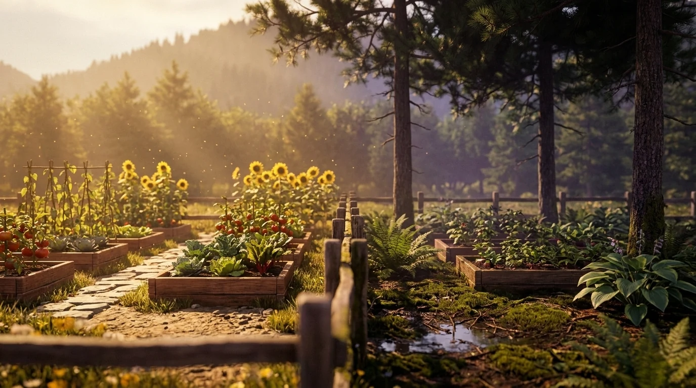
- Home A. SSURGO map unit: Hinckley loamy sand, well drained, pH 5.8. Sun: 7.4 hours. Frost-free: 178 days. Top plants: blueberry, hazelnut, asparagus, garlic.
- Home B. SSURGO map unit: Scarboro mucky fine sandy loam, very poorly drained, pH 6.3. Sun: 4.2 hours behind a neighbor's pines. Frost-free: 174 days. Top plants: highbush blueberry, elderberry, cranberry, ramps.
Same zone. Same county. Same plant catalog. Completely different recommendations. Every layer involved is public federal data — SSURGO for soil, USGS 3DEP for sun, NOAA RCC-ACIS for frost. The lift is reading them at the parcel level, not at the ZIP code.
Same zone, different land — see yours
Enter your address for your USDA zone, your site type, and a starting plant list read from the same federal data. Free, no account.
We read public map data for this spot — soil, climate, flood, and parcel records. How we handle your address.
How to use the Growable Ground free tier
- Go to growableground.com and enter an address. Anywhere in the US.
- The platform pulls the SSURGO soil record, the USDA PHZM hardiness zone, PRISM 30-year climate normals, NOAA frost dates, NREL solar, and EPA contamination proximity for that parcel.
- You see your top-matched plants, each scored against the constraints that matter for that crop. Click a plant; you see why it matched, and which data points pulled the score up or down.
- From there: build a plan, save plants to your library, or open Gnorman, the chat assistant trained on your parcel. Free tier covers the search and the data; the full report and contamination-per-plant view are paid.
Frequently asked questions
Do I need to know my soil type before I search for plants?
No. Growable Ground reads the USDA SSURGO soil survey for your address automatically — pH, drainage class, texture, organic matter. You enter the address; the platform pulls the soil record and scores 1,085 plants against it.
What if I just want a list of plants for my hardiness zone?
The USDA Plant Hardiness Zone Map gives you the zone for free. From there, most seed catalogs filter by zone. The catch is that zone tells you what survives winter — it does not tell you whether your soil pH, drainage, sun hours, or frost-free season can finish the crop.
Is Growable Ground really free?
Yes. The free tier reads every public federal data product for your address and shows you which plants score well on your land, with the data behind each match. Paid plans add the full report, contamination intelligence per plant, and Gnorman — the assistant trained on your parcel. 14 days on us if you want to try the paid view first; no card required to start.
How is this different from Calflora or Native Plant Trust?
Calflora is a deep, free database of California species with rich ecological metadata. Native Plant Trust does the same for the Northeast. Both are field-guide-strong: you start from the plant. Growable Ground starts from your address and matches the database back to your specific soil, sun and climate, and screens the contamination record around it, nationally. Use them together — the regional native societies are excellent for ecology, and the parcel match is what we add.
What about state Cooperative Extension recommendations?
Cooperative Extensions, the land-grant network funded by USDA NIFA, are the gold standard for regional growing advice — variety trials, pest pressure, planting calendars. Free, peer-reviewed, decades of work. The tradeoff is the recommendations are regional, not per-parcel. Two homes in the same county can have very different soils and sun exposures. Read the Extension for the region; read your parcel for the rest.
What if my address is in a rural area or new development?
SSURGO covers virtually every acre of the lower 48. PRISM climate normals, from Oregon State University, cover the lower 48 at 800 m resolution. If a specific layer is missing for your parcel — for example, parcel boundaries in a few western counties — Growable Ground tells you which layer fell back and what it used in its place.
Can I search by plant instead of by location?
Yes. The Plant Library is searchable and filterable across the full species database. Open any plant page and it will show which states the plant grows well in, on average — and let you enter your address to score it on your specific land.
Is there a free plant finder that uses my exact address, not just my ZIP code?
A ZIP code can cover very different soils, slopes, and sun exposures, so a ZIP-level finder can only get you close. Growable Ground’s free tier reads the federal record — SSURGO soil, hardiness, climate, frost dates, contamination proximity — for the specific parcel at your address, then scores plants against it. That parcel resolution is the main thing it adds over the ZIP- and region-level tools above.
See what scores on your land
Enter your address; 1,085 plants matched against your soil, sun, and climate.
Three things about your exact spot that zone averages miss:
We read public map data for this spot — soil, climate, flood, and parcel records. How we handle your address.
25+ data sources analyzed in seconds
Related Guides
See what this means where you are
This guide is national — a state's own zones, frost dates and soils change how it plays out. Start with your state's growing hub: