
Growing Guide
Permaculture Starts with Knowing Your Land
Sources: USDA SSURGO, USGS 3DEP LiDAR, USDA PLANTS Database, NRCS Plant Guides
Last updated:
 Design zones
0 - 5
By how often you visit
Food forest layers
7
Canopy to root
Tree establishment
3 - 5 years
NRCS Agroforestry
Observe first — the whole method rests on it
The first principle of permaculture is "observe and interact": watch how a site behaves before you change it. Where does water flow after a storm? Which corners hold full sun in June but lose it by October? Where does cold air pool on a still night? What is the soil doing a foot down? Traditionally you learn this by walking the land through all four seasons — and that patient watching is still the best teacher there is.
Growable Ground doesn't replace the seasons of observation — it gives you a measured head start. Federal agencies have already recorded decades of your land's behavior: LiDAR elevation from USGS 3DEP, soil surveys from NRCS, flood mapping from FEMA, and frost records from NOAA. We translate those layers into the language a designer actually uses — sun sectors, drainage lines, frost pockets, soil character, and season length — so your first design pass starts from data, not guesswork.
Zones 0 to 5: place things by how often you'll tend them
The zone system is permaculture's answer to wasted steps. It organizes a site by frequency of attention, keeping the fussiest, most-visited elements closest to where you already are and letting the land grow wilder the farther out you go. The trip you make a hundred times a season should be the shortest one.
- Zone 0 — the home. The house itself, where design starts: light, water catchment, where the back door lands.
- Zone 1 — daily ground. Salad greens, culinary herbs, and intensive beds by the kitchen door — things you pick or water every day.
- Zone 2 — weekly care. The orchard, berry rows, and perennials you tend and harvest weekly, not daily.
- Zone 3 — the farm scale. Main crops, cover-cropped ground, larger stock — checked periodically, not fussed over.
- Zone 4 — semi-wild. Foraging, firewood, hardy nut trees, minimal management.
- Zone 5 — the wild. Left unmanaged on purpose — a habitat reservoir and a reference for how the land wants to behave.
On a suburban quarter-acre the zones compress rather than disappear: Zone 1 might be two beds by the door and Zone 5 a single unmowed corner. The logic is the same at any size — match effort to distance.
Pro Tip
Map YOUR permaculture site
See your sun sectors, soil profile, drainage, and flood zones — the measured starting point for your design.
Three things about your exact spot that zone averages miss:
We read public map data for this spot — soil, climate, flood, and parcel records. How we handle your address.
25+ data sources analyzed in seconds
Sector mapping: the wild energies crossing your site
If zones are about what you place, sectors are about what arrives on its own. Sector mapping tracks the outside energies that cross a site — where the summer and winter sun enter, which way the drying or storm winds blow, where water flows in and pools, the direction of a wildfire or road-noise threat, the view you want to keep or screen. You design to catch the helpful ones (channel that afternoon sun to the tomatoes, slow the runoff into a swale) and deflect the harmful ones (a hedge on the winter-wind sector, a firebreak on the fire sector). Four of those sectors are exactly what our data measures for your parcel:
Growable Ground casts sun hours across your parcel at 1-meter resolution — accounting for tree canopy, building shadows, and terrain orientation — with USGS 3DEP for terrain and buildings and a leaf-on canopy model for the trees. This maps directly to your sun sector — where to place sun-demanding crops versus shade-tolerant species.
SSURGO drainage class tells you where water moves through quickly versus where it pools. FEMA flood mapping identifies 100-year flood zones. NHD (National Hydrography Dataset) maps nearby streams and water features — critical for swale and pond placement.
SSURGO provides pH, texture (sand/silt/clay ratios), organic matter content, and available water capacity for the soil map units under your parcel. These properties determine which plants establish without amendments and which need intervention.
NOAA climate normals provide average last spring frost, first fall frost, and growing season length. USDA hardiness zone data defines minimum winter temperatures. Together they determine which perennials survive and when annuals can go in.
Food forest layer design: what's viable on your land
A food forest mimics natural woodland structure with seven layers: canopy trees, understory trees, shrubs, herbaceous plants, ground covers, vines, and root crops. Not every layer is viable on every site — your soil pH, drainage, sun exposure, and hardiness zone determine which species can establish in each layer.
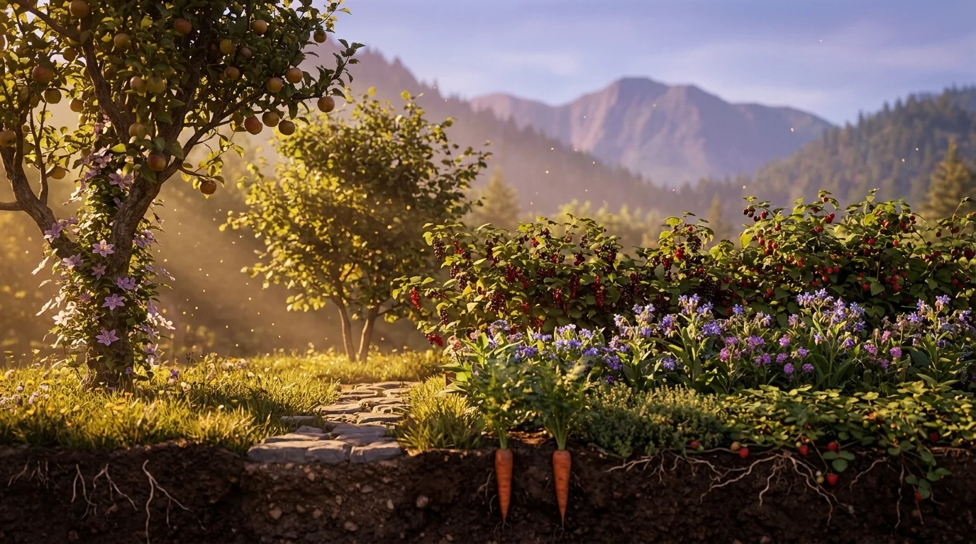
- Canopy & understory trees:These need well-drained soil and enough growing degree days to ripen fruit — your SSURGO drainage class and season length decide viability. Pawpaw is the exception that proves the rule: it fruits in understory shade.
- Shrub layer:pH sensitivity is high and the swing is wide — blueberries demand an acidic pH 4.5–5.5, while elderberry is easygoing across pH 5.5–7.5. Two shrubs a few feet apart can want opposite soils, which is why your SSURGO pH matters before you plant, not after.
- Ground cover, herbaceous & vines:These fill in fastest and do the soil-building and living-mulch work. What limits them is light at ground level once the canopy leafs out — the shade under your existing trees decides which of them actually take.
- Root layer:The forest floor's harvest. Root crops need loose, well-drained soil to swell — SSURGO texture tells you whether you're working sandy loam or a heavy clay that'll fork them.
Growable Ground's permaculture persona filters our 1,085 species for plants suited to layered planting and scores each against your site's real sun, soil, drainage, and season — so a food-forest plan starts grounded in what your land will actually carry, not a species list copied from a wetter, warmer climate than yours.
Pro TipWater: slow it, spread it, sink it
Permaculture's water mantra is three verbs — slow it, spread it, sink it. Rain that sheets off a slope carries your topsoil to the storm drain; rain that soaks in where it falls recharges the ground your roots drink from. The earthworks that do this all read the land's contour, so knowing your slope is step one.
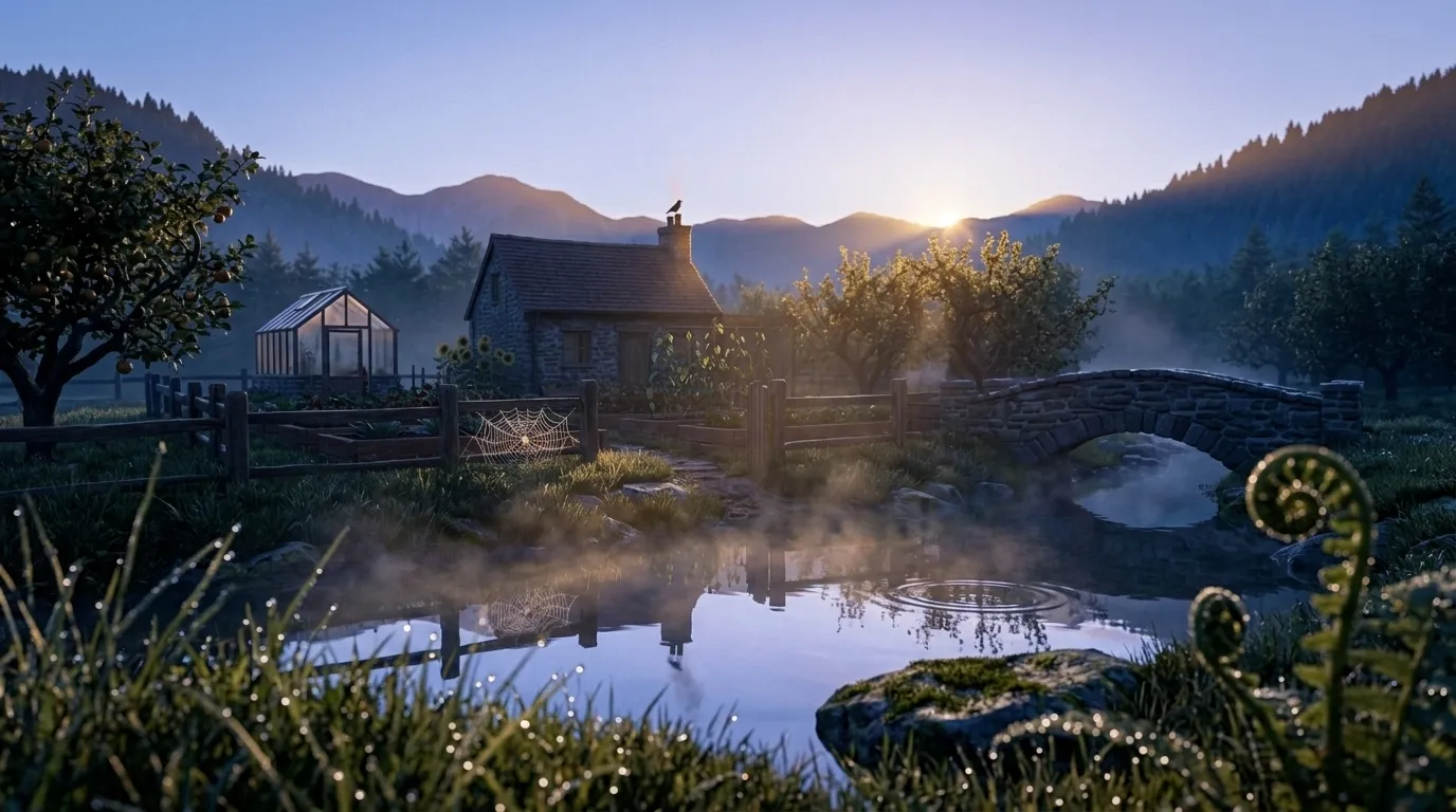
A swale is a level ditch dug on contour with the spoil mounded on the downhill side; because it's dead level, water spreads along its whole length and sinks rather than running, and the mound becomes a planted berm for trees. Keyline design goes further, using slightly off-contour plow lines to move water from the wet valleys toward the dry ridges, spreading it evenly across a whole slope. On a small lot the same instinct scales down to a rain garden or a mulched basin uphill of a fruit tree.
One caution before you dig: earthworks that hold water belong on the right ground. Growable Ground reads your slope and aspect from USGS 3DEP elevation, your drainage class from SSURGO, and your FEMA flood zone — so you can tell a spot that wants a swale from one that's already too wet to plant.
Guild planting and companion scoring
A guild is a group of mutually supporting plants built around one central species. The classic apple guild rings the tree with comfrey (a deep taproot that mines minerals and drops them as mulch), clover (a nitrogen fixer and living mulch), chives (an allium whose scent confuses pests), and nasturtium (a trap crop that pulls aphids off the tree). Each member earns its place with a function — the guild yields more together than any of its plants would alone.
Growable Ground's crop engine scores companion compatibility and identifies pollinator-attracting plants that pair with food crops by bloom overlap. If your apple tree blooms in early May, the system finds pollinator plants that bloom in the same window to support fruit set.
Honest Disclosure
Nitrogen fixation is resolved for all 1,085 species in our plant database — 89 of them fix nitrogen. That is a taxonomic determination: it reflects whether a species belongs to a nitrogen-fixing lineage, not a measurement of fixation on your land. Because fixation is symbiotic, it also depends on the right soil partners being present, so guild recommendations that depend on nutrient cycling roles are worth cross-referencing with USDA PLANTS Database and NRCS plant guides.
What Growable Ground does well today: scoring every guild member against your specific soil, sun, drainage, and climate — so you know which members of a standard guild will actually thrive on your land, and which need substitutions.
Map YOUR permaculture site
See your sun sectors, soil profile, drainage, and flood zones — the measured starting point for your design.
Three things about your exact spot that zone averages miss:
We read public map data for this spot — soil, climate, flood, and parcel records. How we handle your address.
25+ data sources analyzed in seconds
Frequently Asked Questions
What are the permaculture zones 0 to 5?
The zones organize a site by how often you visit it, placing what needs frequent attention closest to the house. Zone 0 is the home itself; Zone 1 is the kitchen-door ground you pass daily — salad greens, culinary herbs, a few intensive beds; Zone 2 holds the perennials and orchard you tend weekly; Zone 3 is the main crops and larger animals you check less often; Zone 4 is semi-wild — foraging, timber, hardy trees; and Zone 5 is left unmanaged as a wild reference and habitat reservoir. The point is energy: put the thirsty, fussy, frequently-picked things where you'll actually walk past them.
What fruit trees grow in partial shade?
Most tree fruit wants full sun, but a genuine partial-shade tier exists. Pawpaw is the standout — a native understory tree that actually prefers shade in its first years. Sour (pie) cherries, plums, and pears tolerate light or afternoon shade with a lighter crop, and among the shrubs, currants, gooseberries, and elderberry all fruit in dappled light or a few hours of direct sun. Reserve the full-sun spots for apples, peaches, and anything you want a heavy, sweet crop from; use the shaded edges for the shade-tolerant layer.
Can Growable Ground plan a food forest?
It scores food-forest species against your site's actual conditions — sun hours, soil pH, drainage, hardiness zone, and growing season — and filters for trees, shrubs, ground covers, and vines suited to layered planting, so you can see which of the seven layers are viable on your specific land before you buy a single tree.
Does Growable Ground support guild planting and companion scoring?
Yes, with an honest limit. The crop engine scores companion compatibility and identifies pollinator plants that overlap a food crop's bloom window. Nitrogen fixation is resolved for every species in the database — 89 of 1,085 fix nitrogen — but that is a taxonomic determination about which lineage a plant belongs to, not a measurement of what will happen in your soil, so guild roles that depend on nutrient cycling are still worth cross-checking against USDA PLANTS and NRCS plant guides.
Is permaculture only for rural properties?
No. The principles apply at any scale. A suburban lot with mixed sun, average soil, and a few mature trees has the raw materials for a layered, largely self-maintaining food system — the zones just compress. Growable Ground reads parcels of any size at the same data resolution, whether your property is a quarter acre or 65.
Related Guides
See what this means where you are
This guide is national — a state's own zones, frost dates and soils change how it plays out. Start with your state's growing hub: