
The Wood River Valley spans USDA hardiness zone 6b — room for a real mix of vegetables, fruit, and perennials matched to the local frost calendar.
A high mountain valley in south-central Idaho ringed by the Sawtooth, Boulder, Pioneer, and Smoky ranges and anchored by the Big Wood River — deep alluvial valley-bottom ground, cold nights, and a short zone-6b season that rewards cold-hardy, quick-maturing beds. Among the crops suited to this profile: potato, lentil, apple, and hop. The site-level story — soil, sun, drainage — decides the rest.
The Wood River Valley spans Idaho.
Your yard isn't all of the Wood River Valley.
The Wood River Valley spans USDA zones 6b, but your parcel sits in exactly one — and slope, tree cover, and low spots nudge it further. Enter your address and we'll score 1,085 plants against your land's actual soil, sun, and frost.
We read public map data around Wood River Valley — soil, climate, flood, and parcel records. How we handle your address.
No card required · your parcel report in seconds — read in full free for your first 14 days
The Wood River Valley — the short answer
The Wood River Valley: USDA zones 6b, 143 frost-free days, in Idaho.
- USDA zones
- 6b
- USDA PHZM 2023, aggregated over the footprint
- Frost-free season
- 143 days
- NOAA Regional Climate Centers ACIS, 1991–2020
- Counties
- 1
- US Census TIGER/Line 2025
- Region type
- County cluster
- Growable Ground growing-region registry
Region boundary: Growable Ground growing-region registry — curated county clusters, EPA Level III ecoregions, and town clusters drawn finer than any county. Where a region publishes no measured season, no season figure is shown.
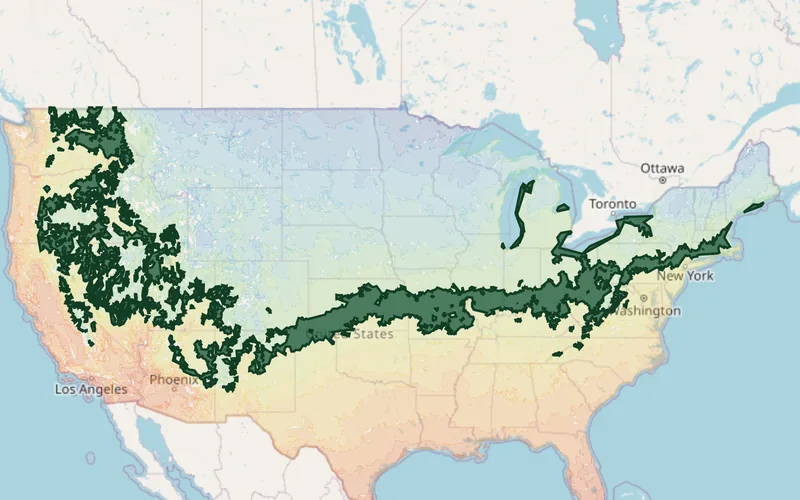
What Grows in the Wood River Valley
Plants matched to the Wood River Valley's USDA zones 6b, ordered by how much hardiness margin each has across the region — the ones with room to spare at both ends of this band lead. Each links to its full growing profile.
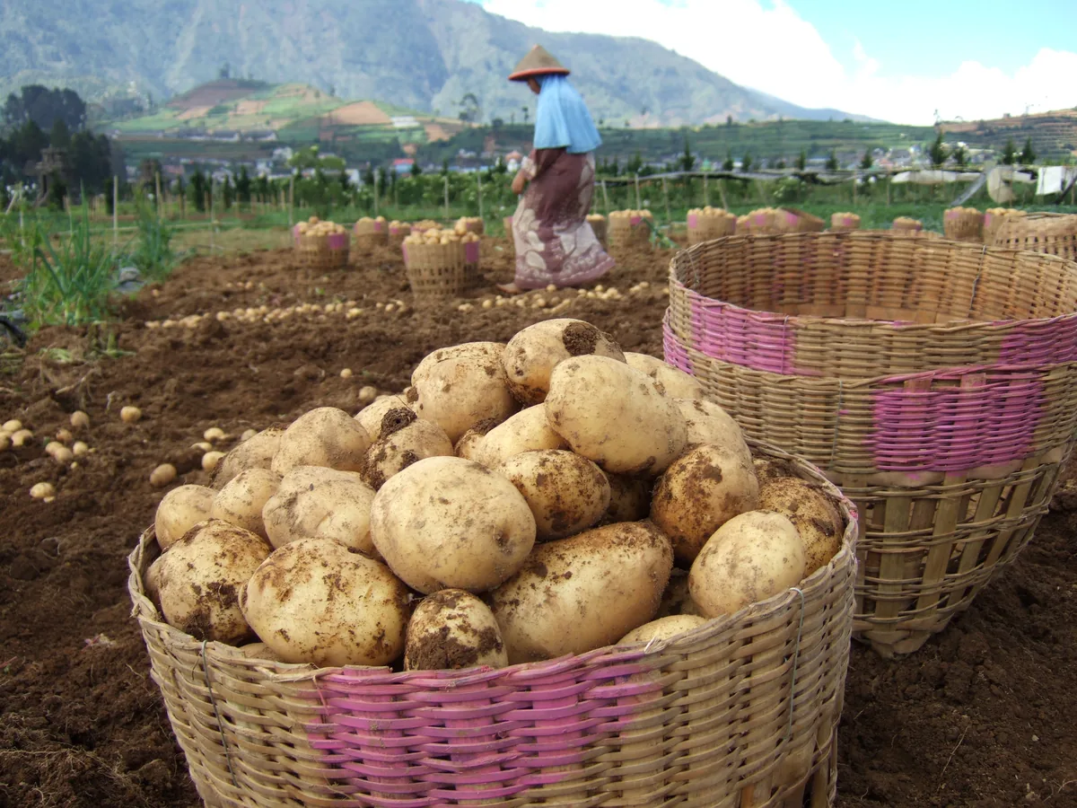
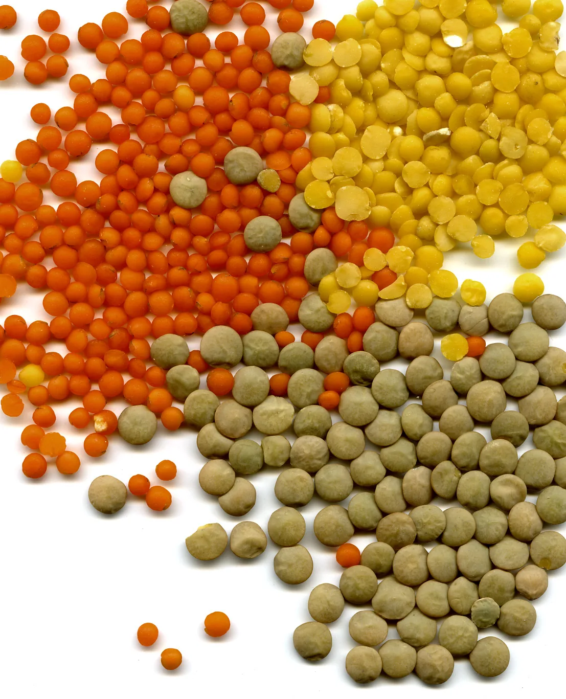
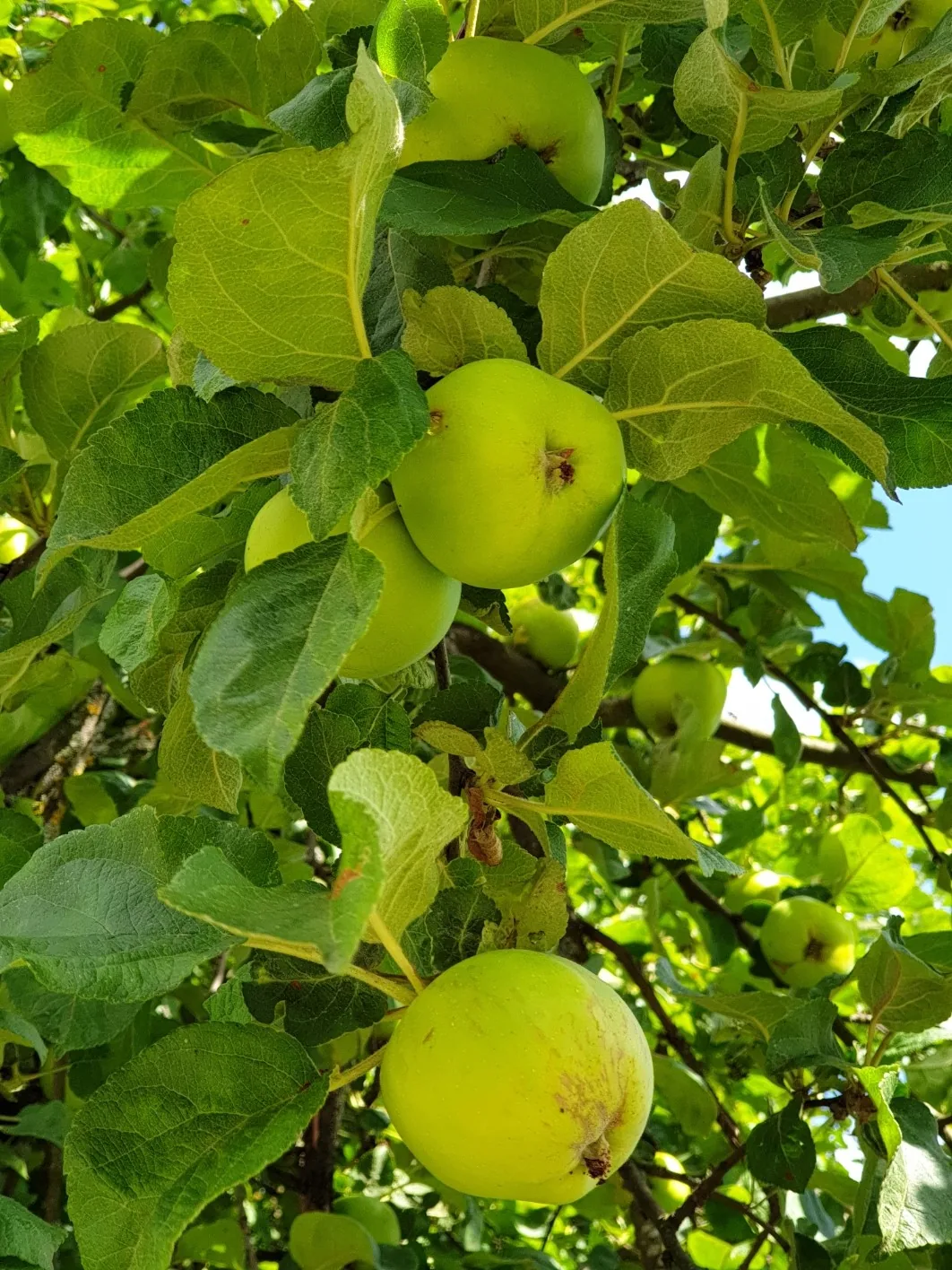
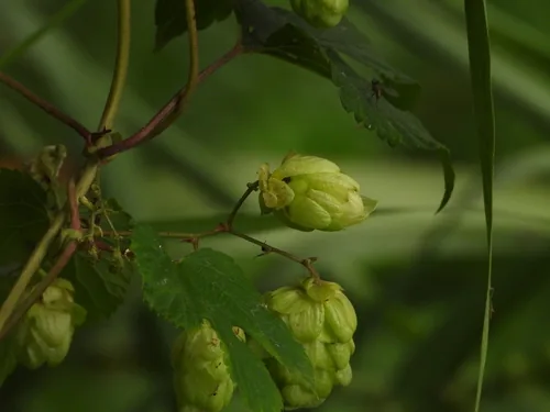
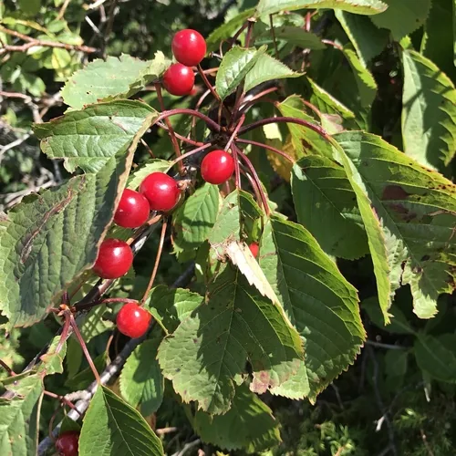
Native Plants of the Wood River Valley
Plants the USDA PLANTS Database documents as native and present in this region’s state, kept only where the published hardiness range meets the Wood River Valley’s USDA zones 6b — closest range match first. Presence is recorded by state, so a plant can be documented across the state and still be scarce in your corner of the region.
The ground across the Wood River Valley
The USDA soil survey maps this ground county by county. These are those records weighted by land area across one member county — this region’s own profile, not a state figure.
The ground is predominantly Mollisols, at 78% of mapped acres, followed by Aridisols (14%), Andisols (3%) and Alfisols (2%). Seven soil orders appear somewhere inside the footprint, which is the honest reason a regional soil answer only goes so far. The most extensive named soils are McCarey, Vitale, and Povey.
76% of those acres are well drained, and another 2% poorly drained, 2% somewhat excessively drained. Topsoil pH runs 6.7–7.0 in that county’s own record.
Soil order
Mollisols
Drainage
Well drained
Topsoil pH
6.7–7.0
Hydric soils
2%
Soil changes across a driveway, so which of these your own ground sits on is a parcel question rather than a regional one. soil types explained.
USDA NRCS SSURGO via Soil Data Access

What this means for growing in the Wood River Valley
The soil survey reads this ground county by county, and the readings above are those records summed across the Wood River Valley. Here is what they mean for a garden here — and the move an experienced grower makes about each one.
Drainage
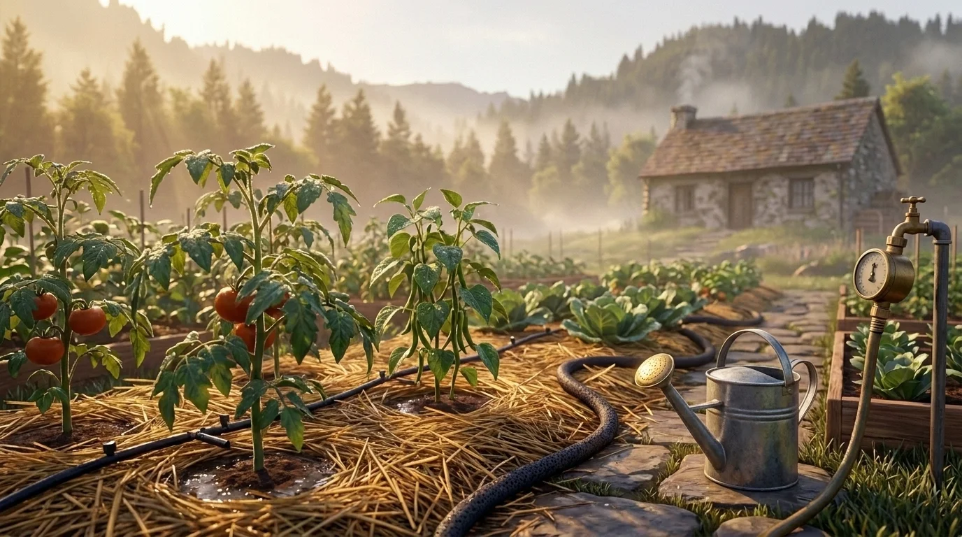
From county records76% of the mapped acres across the Wood River Valley are well drained — ground that drains quickly. That is area-weighted across its one mapped county.
The upside is soil you can work early in spring and roots that never drown; the cost is that fast-draining ground dries out fast and leaches nutrients away before plants can use them.
Work in compost and mulch to hold moisture and feed, and water more often in short doses than deep and rarely.
USDA NRCS SSURGO
Surface pH
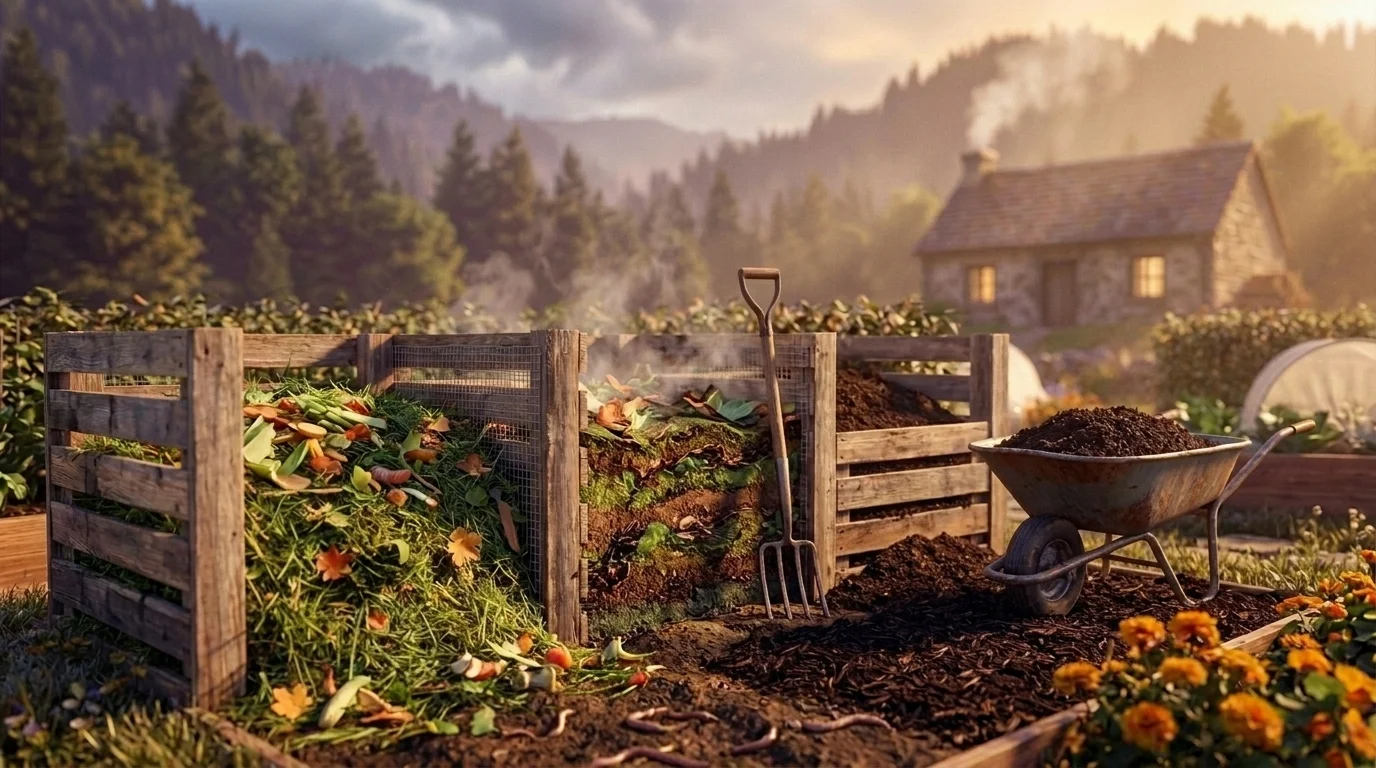
From county recordsTopsoil across the Wood River Valley runs pH 6.7–7.0 — near neutral in the one record covering it.
This is the range most vegetables prefer — one correction you probably do not have to make, which is genuinely good news for a new bed.
Keep it there with compost rather than lime or sulfur, and only amend if your own soil test says otherwise.
USDA NRCS SSURGO
 Safe to Grow Here?
What the federal record shows across the Wood River Valley — and how to grow with it.
Across the Wood River Valley's 1 county the federal record holds 911 documented sites, mostly Mining (542), Nitrate (222) and Underground Storage Tanks (103). The heaviest single county is Blaine County, with 911.
That is a regional count, not a reading of any one lot — proximity to a documented site is information, not a diagnosis. Open the map outlined to the Wood River Valley to see which records sit where you actually grow.
Sources Checked
Summed across the county in the Wood River Valley

A note from Gnorman
What an experienced grower watches for around here
In and around the Wood River Valley, two things run higher than the national average across the county in the Wood River Valley — Mining (542 sites) and Superfund (26 sites). It's not cause for alarm — it's worth knowing, and there's a sensible way to grow around it.
Mining: Mining sites — both historic and active — can leach heavy metals (arsenic, lead, cadmium, mercury) into soil and water for centuries after operations cease.
Superfund: Superfund sites represent the most severe contamination in the federal system.
Test soil for heavy metals (lead, arsenic, cadmium, mercury) — this is essential near any mining site.
Commission professional soil testing before any food production (test for heavy metals, VOCs, and SVOCs).
Sources: EPA, USGS — 1.8M documented sites tracked nationwide across 8 federal source types.
Your land is one point inside the Wood River Valley
Everything above resolves to the Wood River Valley as a whole — a footprint spanning USDA zones 6b. Your parcel sits in exactly one of them. Slope, tree cover, a low spot that pools cold air, and what is in the soil are all resolved at the address, and none of them are visible at region scale. That is the honest boundary of this page, and the reason the next step is a reading of your own ground rather than a better regional average.
Your Lot vs the Wood River Valley Average
Wood River Valley Average
- ●USDA Zones 6b, averaged across Wood River Valley
- ●One soil character for all of Wood River Valley
- ●State-average frost dates
YOUR Parcel
- ✓Your exact zone, not Wood River Valley's 6b
- ✓Your SSURGO soil type & pH
- ✓Your sun exposure, cast in 3D
See MY Growing Report
Read your parcel in the Wood River Valley
Pull a site-specific report for your exact address in the Wood River Valley — soil, sun, drainage, frost risk, contamination, and scored plant recommendations.
Three things about your lot that Wood River Valley averages can't show:
We read public map data around The Wood River Valley — soil, climate, flood, and parcel records. How we handle your address.
25+ data sources read at your address, not the Wood River Valley average
How we know this about the Wood River Valley
The boundary: a cluster of neighboring counties. Growing regions have no official boundary, so this footprint is our published one, and every figure on this page was measured over the counties inside it rather than borrowed from the state around it.
The datasets: hardiness from the USDA ARS Plant Hardiness Zone Map 2023, aggregated across the footprint; the growing season from NOAA Regional Climate Centers ACIS 1991–2020 28°F normals, read at each member’s own record; boundaries from US Census TIGER/Line 2025; the contamination record from the federal sources named in that beat above; the soil from the USDA NRCS SSURGO survey, read at each member county’s own record and weighted to this footprint by land area. Where a member carries no record of its own, it is absent from the figure rather than filled in.
Common questions about the Wood River Valley
What hardiness zone is the Wood River Valley?
The Wood River Valley spans USDA hardiness zones 6b, aggregated from the USDA Agricultural Research Service Plant Hardiness Zone Map 2023 across the region's counties. Zones reflect average annual extreme minimum temperatures from 1991–2020 data.
What grows well in the Wood River Valley?
The Wood River Valley's conditions suit plants such as Potato, Lentil, Apple, Hop, Cherry. What actually thrives on any one site still turns on its specific soil, sun, and drainage — we score each plant against the real conditions at your address.
How is the Wood River Valley defined?
The Wood River Valley is defined here as a curated cluster of 1 neighboring counties that share a growing character. Growing regions have no official boundary, so this footprint is our published one — every county in it is named on this page.
Which states does the Wood River Valley cover?
The Wood River Valley spans Idaho. Each state's full growing guide is linked on this page.
What other growing regions cover the same states?
Columbia Basin, Snake River Plain, Eastern Idaho (Upper Snake River Valley), Magic Valley, Idaho Panhandle (North Idaho), and Treasure Valley share at least one state with the Wood River Valley. Growing regions overlap and interlock — a single address can sit inside more than one, which is why the precise read is always the parcel, not the region.
What this page reads at the Wood River Valley’s own scale
5 of the readings below were taken at the Wood River Valley's own scale — the zone 6b band across its footprint and 911 documented federal contamination records across its one county, 911 of them in Blaine County alone; one is borrowed from a wider read, named and linked below.
Measured here
- The USDA hardiness band 6b aggregated across the footprint's one countyUSDA PHZM 2023
- The boundary itself — the 1 county this region is curated fromGrowable Ground subregion registry
- The growing character that makes this region distinct from the states it crossesGrowable Ground subregion registry
- The federal contamination record over the whole footprint — 911 documented federal contamination records across its one county, 911 of them in Blaine County aloneEPA, USGS and USDA federal site records
- The soil order mix across the footprint — 78% Mollisols, topsoil pH 6.7–7.0, area-weighted across its one mapped countyUSDA NRCS SSURGO
Inherited from a wider read
- The candidate plant list — its state's curated sets, merged and filtered to zones 6bfrom Idaho
What this page can’t tell you
- Frost dates — they swing too far across a footprint this size to quote as one regional numberfrost dates explained →
- Which of those soils your own ground sits on — the survey maps them county-wide, and they change across a drivewaysoil types explained →
- The soil pH, drainage, sun hours, and frost pockets on one specific lotwhy one lot differs from the next →
Explore the Wood River Valley
State growing guides
Counties in this region
Other growing regions across Idaho
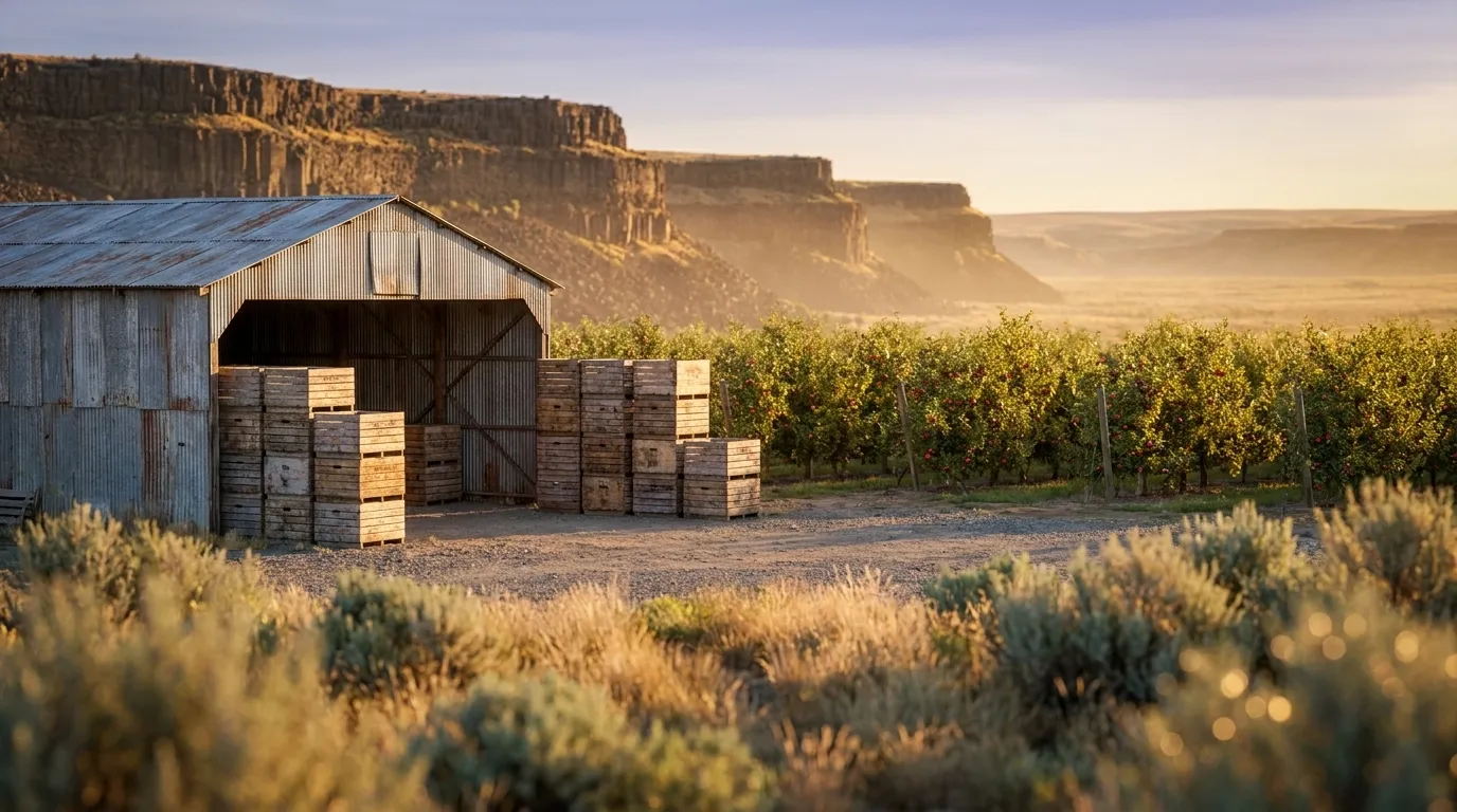
A dry basalt plateau of loess soils in the inland Northwest where irrigation turns arid ground into apple, cherry, hop, and wine-grape country.
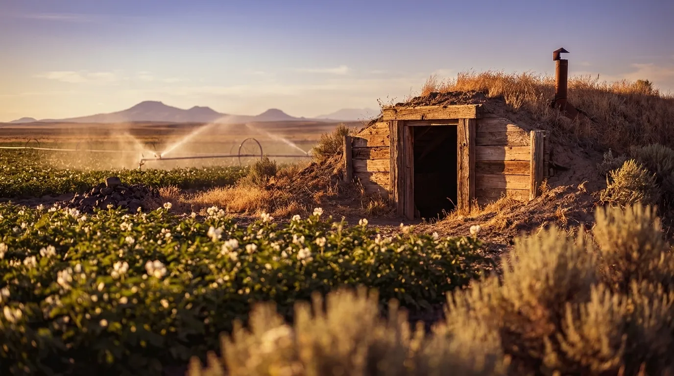
A broad volcanic plain of deep ash-rich soils and long summer days, irrigated from the Snake River — the classic Idaho potato, hop, and sugar-beet country.
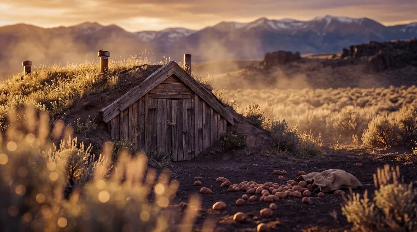
Eastern Idaho's Upper Snake River Valley is the cold, high-elevation head of the same volcanic plain that gives Boise its 7a warmth — but here the growing reality inverts. At roughly 4,500–6,000 ft, Idaho Falls, Pocatello, and Rexburg sit in USDA zones 5a–5b with about 130–165 frost-free days at the population centers (shorter still in the outlying mountain valleys like Bear Lake and Caribou), running 1.5–2 zones colder and 40–70 days shorter than the Treasure Valley downstream. Routine late-May frosts make this short-season, cold-hardy, high-desert growing — the mirror image of the plain's warm western end that the broad Snake River Plain page averages away.
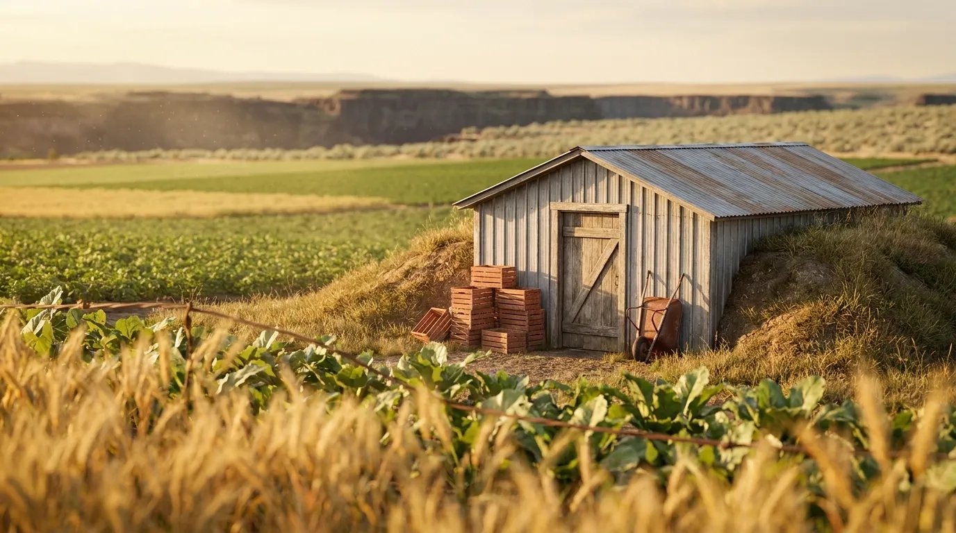
The irrigated heart of south-central Idaho, where Snake River canal water — the "magic" that turned high desert into cropland after the 1905 Milner Dam and the Carey Act land tracts — feeds a tight 6a–6b band on volcanic-ash soils at roughly 3,700 feet. Cooler and far more uniform than the wider Snake River Plain that runs from balmy Boise (7a) to the frosty eastern plain (5b), this is Idaho's dairy, sugar-beet, dry-edible-bean, and malting-barley heartland, with the Snake River Canyon and Shoshone Falls cutting straight through it.

Forested, lake-and-mountain far-north Idaho — nothing like the arid Snake River Plain or the treeless Palouse wheat prairie to the south. Big glacial lakes (Pend Oreille, Coeur d'Alene) buffer both spring frost and summer heat across a humid-continental, higher-precipitation belt of cedar-and-hemlock forest soils. Expect USDA zones 6a–6b and a cool, wet-spring season of roughly 148–187 frost-free days (verified county climate data), with last frosts into mid-May in the northern valleys — a short, moist window the southern-Idaho and Palouse pages can't describe.
Idaho's Boise-anchored growing corridor: the warm valley floor around Ada and Canyon counties reaches roughly 200 frost-free days at USDA zone 7a, while the Boise and Owyhee foothills that ring it run up to a full zone colder on a markedly shorter season.