What Grows in Idaho

USDA Zones 3b-8a · 8-35 inches annual rainfall

Idaho spans USDA hardiness zones 3b-8a, with a growing season of about 160 frost-free days — a season that fits spring and fall plantings of cool-weather crops around a solid warm-season core.

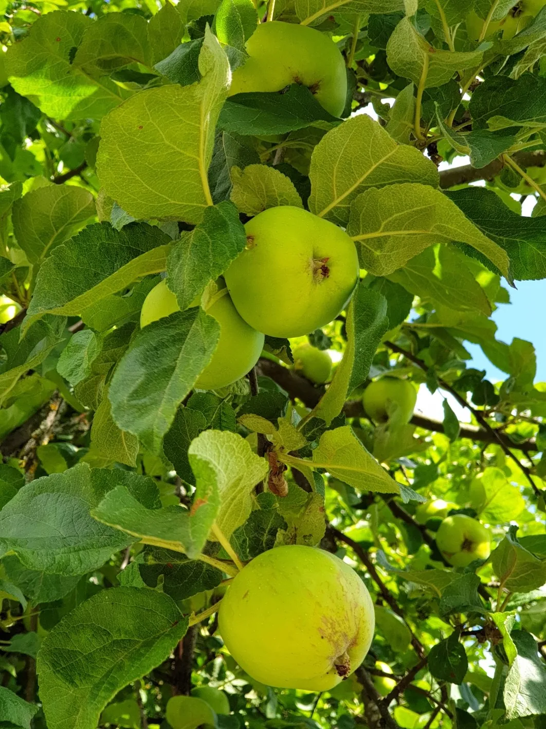
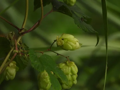
In practice the season is written by 8-35 inches of annual rainfall, a median of roughly 1,187 growing-degree days (base 50°F), and about 2,500 winter chill hours for tree fruit. The ground itself runs to volcanic ash, silt loam, sandy loam, and basalt-derived; drainage character, more than fertility, is usually what sorts the thrivers from the strugglers. Idaho splits into distinct growing country: Columbia Basin, Snake River Plain, and Eastern Idaho (Upper Snake River Valley), each keeping its own frost calendar. A short list that earns its place here — potato, apple, hop, and cherry — with any one site's soil, sun, and drainage making the final cut.

Grounded inUSDA PHZMNOAA Climate NormalsUSDA NRCS SSURGOGDD (PRISM 1991-2020 normals)Chill hours (PRISM 1991-2020 normals)USDA hardiness sub-region mapEPA FRSUSDA PLANTSGrowable Ground suitability scoring

Score your parcel · free

Your yard isn't the whole state.

Idaho spans zones 3b-8a, but your yard sits in exactly one — and slope, tree cover, and low spots nudge it further. Enter your address and we'll score 1,086 plants against your land's actual soil, sun, and frost.

We read public map data around Idaho — soil, climate, flood, and parcel records. How we handle your address.

No card required · your full report in seconds

Notable Growing Regions in Idaho

Distinct growing regions within Idaho — each has its own zones, soils, and signature crops.

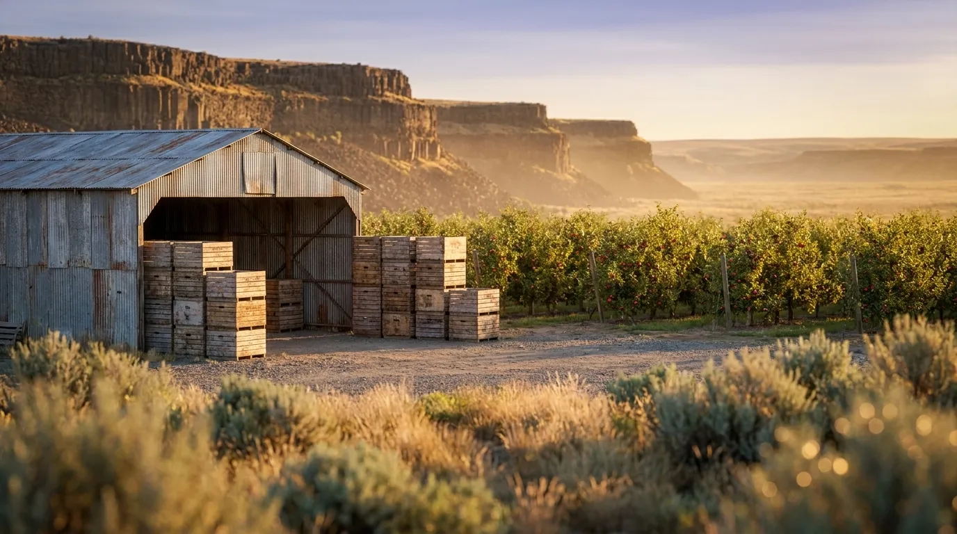
Illustrated landscape of Columbia Basin
Columbia Basinalso spans Oregon & WashingtonA dry basalt plateau of loess soils in the inland Northwest where irrigation turns arid ground into apple, cherry, hop, and wine-grape country.
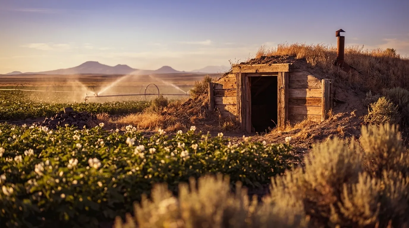
Illustrated landscape of Snake River Plain
Snake River PlainA broad volcanic plain of deep ash-rich soils and long summer days, irrigated from the Snake River — the classic Idaho potato, hop, and sugar-beet country.
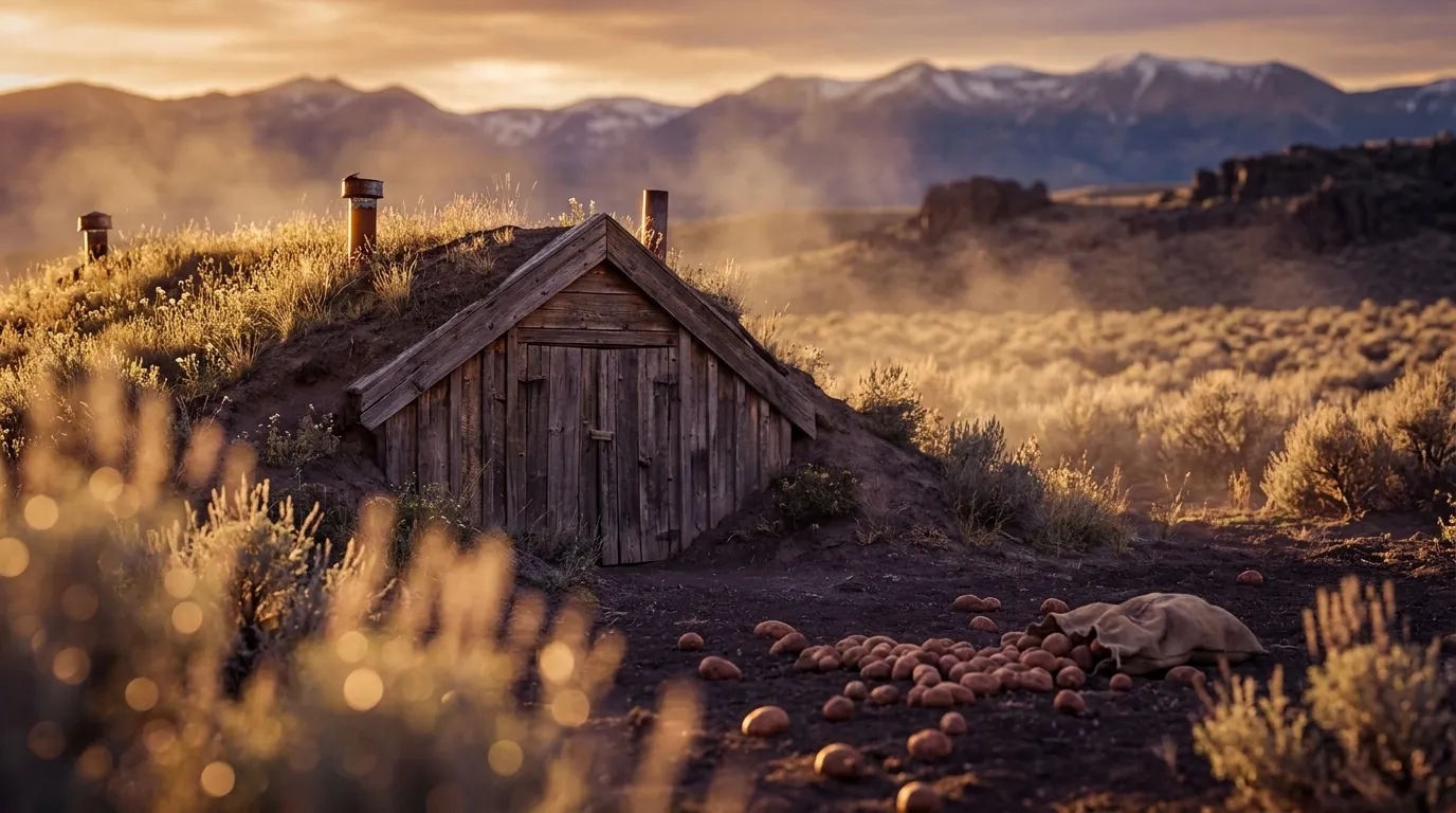
Illustrated landscape of Eastern Idaho (Upper Snake River Valley)
Eastern Idaho (Upper Snake River Valley)Eastern Idaho's Upper Snake River Valley is the cold, high-elevation head of the same volcanic plain that gives Boise its 7a warmth — but here the growing reality inverts. At roughly 4,500–6,000 ft, Idaho Falls, Pocatello, and Rexburg sit in USDA zones 5a–5b with about 130–165 frost-free days at the population centers (shorter still in the outlying mountain valleys like Bear Lake and Caribou), running 1.5–2 zones colder and 40–70 days shorter than the Treasure Valley downstream. Routine late-May frosts make this short-season, cold-hardy, high-desert growing — the mirror image of the plain's warm western end that the broad Snake River Plain page averages away.
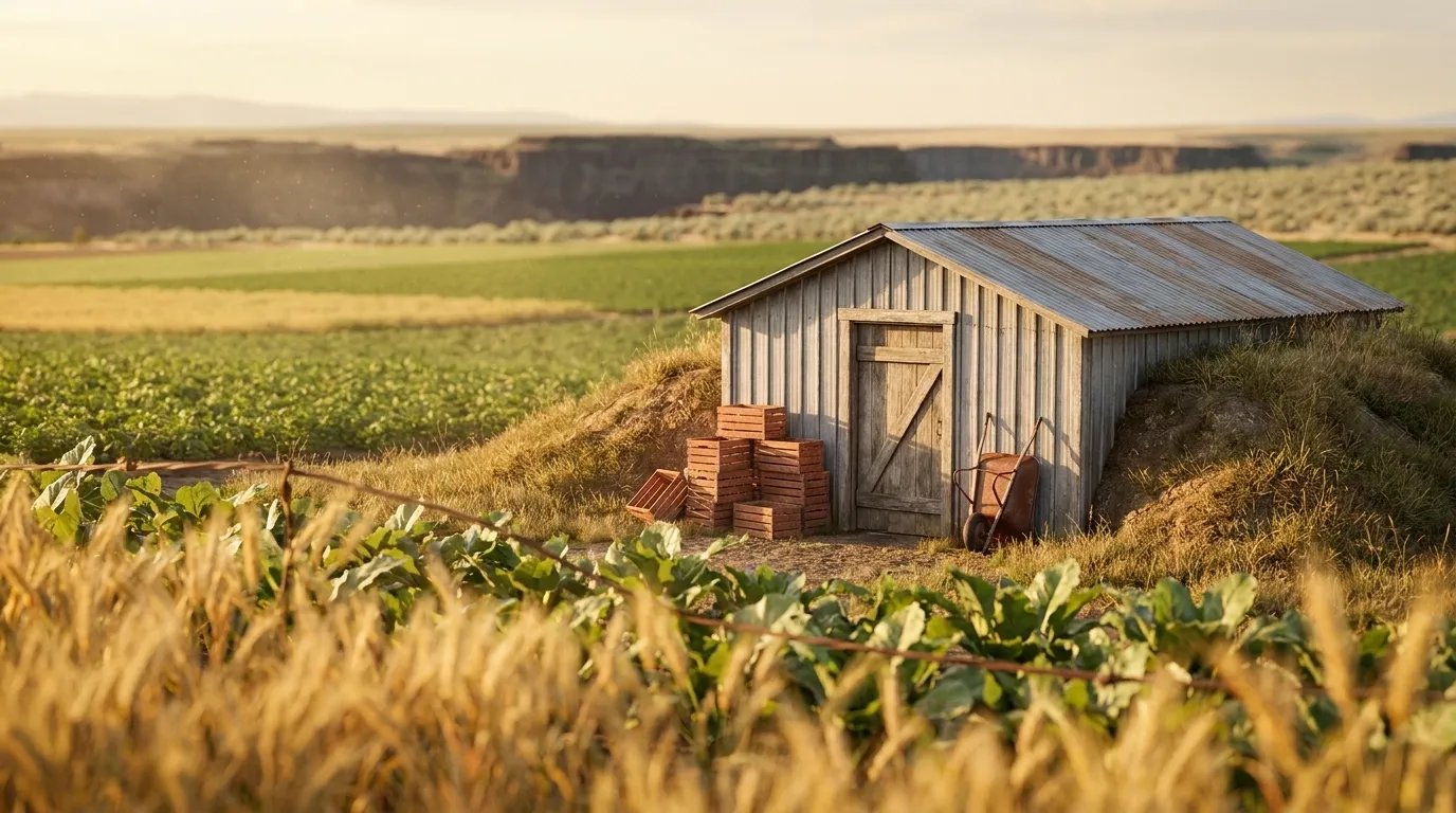
Illustrated landscape of Magic Valley
Magic ValleyThe irrigated heart of south-central Idaho, where Snake River canal water — the "magic" that turned high desert into cropland after the 1905 Milner Dam and the Carey Act land tracts — feeds a tight 6a–6b band on volcanic-ash soils at roughly 3,700 feet. Cooler and far more uniform than the wider Snake River Plain that runs from balmy Boise (7a) to the frosty eastern plain (5b), this is Idaho's dairy, sugar-beet, dry-edible-bean, and malting-barley heartland, with the Snake River Canyon and Shoshone Falls cutting straight through it.
Illustrated landscape of Idaho Panhandle (North Idaho)
Idaho Panhandle (North Idaho)Forested, lake-and-mountain far-north Idaho — nothing like the arid Snake River Plain or the treeless Palouse wheat prairie to the south. Big glacial lakes (Pend Oreille, Coeur d'Alene) buffer both spring frost and summer heat across a humid-continental, higher-precipitation belt of cedar-and-hemlock forest soils. Expect USDA zones 6a–6b and a cool, wet-spring season of roughly 148–187 frost-free days (verified county climate data), with last frosts into mid-May in the northern valleys — a short, moist window the southern-Idaho and Palouse pages can't describe.
Illustrated landscape of Treasure Valley
Treasure ValleyIdaho's Boise-anchored growing corridor: the warm valley floor around Ada and Canyon counties reaches roughly 200 frost-free days at USDA zone 7a, while the Boise and Owyhee foothills that ring it run up to a full zone colder on a markedly shorter season.
Explore 5 more growing regions

Idaho — the short answer

Idaho: USDA zones 3b-8a, 94–216 frost-free days depending on the county, 44 counties.

USDA zones
3b-8a
USDA PHZM 2023
Last hard freeze (28°F)
Apr 26 - May 17
NOAA Regional Climate Centers ACIS, 1991-2020
First hard freeze (28°F)
Oct 1 - Oct 17
NOAA Regional Climate Centers ACIS, 1991-2020
Shortest county season
94 days
NOAA Regional Climate Centers ACIS, 1991-2020, county 28°F killing freeze — Valley County
Annual rainfall
8-35 inches
NOAA Climate Normals
Counties
44
US Census TIGER/Line 2025

The middle half of this state’s counties. Tender transplants usually wait 2–3 weeks past the last hard freeze. The shortest-season figure is Idaho's own county record — Valley County's measured 28°F normal, not a modeled floor.

Zone 3b-8a is Idaho's average, not your lot's — a low corner or a tree line moves it. Against Idaho's 160-day season, see what your own ground reads.

Idaho is not one growing season

One answer for Idaho averages 44 counties whose growing seasons are 122 days apart — from 94 frost-free days in Valley County to 216 in Nez Perce County. That is the same state, measured the same way, in the same years. Which end of it your county sits nearer decides what finishes before the first hard freeze.

94 daysValley County216 daysNez Perce County

The middle half of 44 counties runs 133174 days, with a median of 159 days — a 122-day span end to end.

Measured across 44 counties, each carrying its own 28°F normal. NOAA Regional Climate Centers ACIS, 1991-2020, county 28°F killing freeze. A county with no record of its own is absent from the range rather than counted as zero — nothing here is interpolated to the state. Your own site sits somewhere inside this range; a parcel report resolves where.

Where the line runs inside Idaho

The middle half of Idaho runs 133174 frost-free days, and 21 of its 44 counties sit outside that — 10 on the short side, 11 on the long. A statewide planting date describes the middle well and the ends poorly, which is worth knowing before you follow one.

Under 133 frost-free days

10 counties

3 of 10 shown

The end of the state that sets the planting calendar — start seed indoors here and the season stretches to meet the crop.

133–174 frost-free days

23 counties

0 of 23 shown

The middle half of the state, and the part a single statewide date describes well.

Over 174 frost-free days

11 counties

3 of 11 shown

Long enough for a second succession of a quick crop after the first comes out.

Each county is placed by its own 28°F frost-free normal (NOAA Regional Climate Centers ACIS, 1991-2020, county 28°F killing freeze), the same figure its own guide page publishes. Elevation, slope and cold-air drainage move a yard within its county as well — which is the part only your address resolves.

The Ground You’re Working With

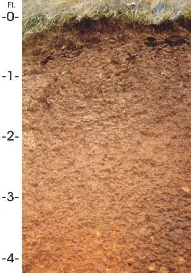
The soil types that dominate Idaho — how each drains decides more about crop success than almost anything else. Tap any soil to learn what it is and how to work with it. Each photo is a representative profile of that soil type; the named series is where it was documented, which is often another state.

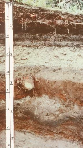
Andisol profile: layered volcanic-ash soil with a depth scale
Representative Volcanic ashSoil profile: Andisol (USDA soil order)

Volcanic ash

  • Drainage

    Excellent and unusual: ash soils drain freely yet hold remarkable amounts of plant-available water in their porous structure — the best of both habits.

  • What thrives

    Volcanic regions grow celebrated crops the world over: orchards, berries, vegetables, coffee, and wine grapes all prosper on ash-derived soils.

How to work with Volcanic ash
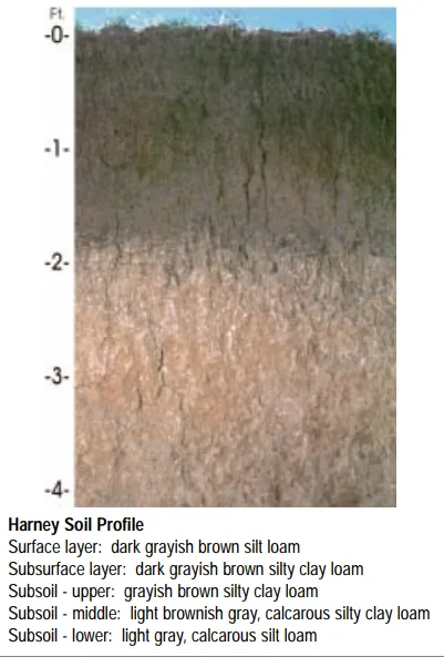
Harney soil profile: deep loessal silt loam with a dark grayish-brown surface
Representative Silt loamSoil profile: Harney series, Kansas

Silt loam

  • Drainage

    Moderate. Silt holds water well and releases it steadily, though the fine particles can crust after hard rain and compact under traffic.

  • What thrives

    The full vegetable garden does well here, and small grains, corn, and leafy greens are classic silt-loam crops. Its steady moisture suits shallow-rooted plants that dislike drought stress.

How to work with Silt loam
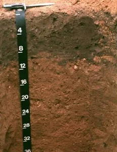
Downer soil profile: reddish sandy loam horizon with a depth scale
Representative Sandy loamSoil profile: Downer series, New Jersey

Sandy loam

  • Drainage

    Fast. The sand fraction opens the soil up, so water moves through the root zone quickly and the surface rarely stays soggy. The trade is that nutrients ride out with the water.

  • What thrives

    Root crops love it — carrots, potatoes, radishes, and onions size up cleanly in ground they can push through. Melons, sweet potatoes, asparagus, and most herbs appreciate the warmth and the drainage.

How to work with Sandy loam
Jory soil profile: deep red-brown iron-rich soil weathered from basalt
Representative Basalt-derivedSoil profile: Jory series, Oregon

Basalt-derived

  • Drainage

    Generally good; basalt soils range from stony and fast-draining on young flows to deeper clay loams on old ones.

  • What thrives

    Wine grapes, orchard fruit, and vegetables all do famously well on basalt-derived soils — volcanic mineral wealth shows up in the harvest.

How to work with Basalt-derived

Soil data: USDA NRCS SSURGO · Soil types explained

Is it too late to plant in Idaho?

Rarely: the season closes in stages, not all at once, and each stage has its crops. Across Idaho, cool-season planting typically opens about four weeks before the local last hard freeze — county medians put that freeze near May 4, with the middle half of counties between Apr 26 and May 17 (NOAA 1991–2020 climate normals). Tender transplants wait two to three weeks past it, and fall planting counts back from first freezes mostly between Oct 1 and Oct 17 — long-season crops need about 90 days of runway, quick greens only 30. As the window narrows, the plantings just get faster — fall brassicas, then greens, then garlic to finish.

State Symbols of Idaho

The plants Idaho put its name on — cultural emblems, not growing recommendations.

Official state flower

Syringa (mock orange)

Philadelphus lewisii

Designated 1931.

Official state tree

Western white pine

Pinus monticola

Designated 1935.

Huckleberry, photograph
Official state fruit

Huckleberry

Designated 2000. In our plant library — see its full growing profile.

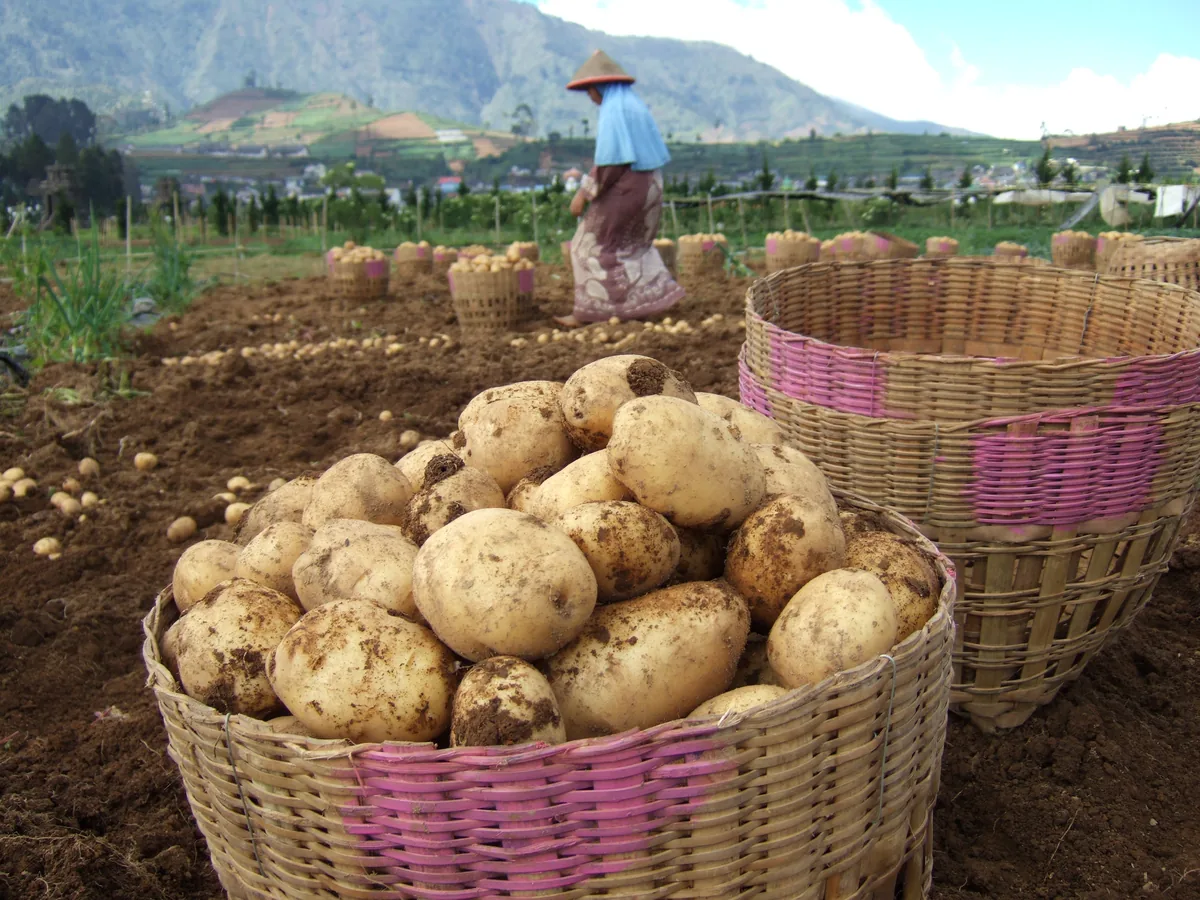
Potato, photograph
Official state vegetable

Potato

Designated 2002. In our plant library — see its full growing profile.

Native Plants of Idaho

Plants the USDA PLANTS Database documents as native and present in Idaho — a real per-state range, not just a zone match. Ordered by how closely each plant’s published hardiness range matches Idaho’s zones 3b-8a, so this is a shortlist by climate fit, not a ranking of which plants matter most here. Presence is statewide, so a plant may still be uncommon in your specific county; your state’s Cooperative Extension or a native-plant society is the local authority.

Also zone-compatible

US-native plants whose hardiness range overlaps Idaho’s USDA zones 3b-8a but which USDA PLANTS doesn’t map to a single state range here. Zone overlap is a starting filter, not a range map.

Browse all US-native plants by state & zone →

Growing Challenges in Idaho

What an experienced grower plans around here — each one has a move.

Short growing season at higher elevations

At elevation, fast varieties plus a cold frame or low tunnel reliably buy back the weeks the calendar withholds.

Arid conditions require irrigation in most of the state

Drip irrigation and deep mulch are the arid-country baseline — set the water system before the plants.

Cold winter snaps can reach -30F in mountain valleys

Plant perennials for your real zone, not an optimistic one — a -30°F night finds every zone-pushed plant.

For cultivar selection, pest pressure, and planting-time guidance specific to Idaho, the University of Idaho Extension is the authoritative local source.

Safe to Grow Here?

What the federal record shows across Idaho — and how to grow with it.

Federal record: High

We checked the federal record across Idaho21,100 documented sites across 8 of the 9 source types we track.

The most significant on record: 215 Superfund sites. Sites tracked in EPA's Superfund program — from assessment-stage CERCLIS entries to confirmed National Priorities List cleanup sites.

Idaho carries one of the heavier federal records we track — and that's not a verdict on your yard. Proximity to a documented site is information, not a diagnosis: nothing here says any particular parcel is affected. It does earn one concrete step — before food beds go in the ground, a professional soil test tells you exactly what you're working with, and raised beds with clean imported soil grow well almost anywhere in the meantime.

Severity Distribution

across Idaho

High1,461Moderate14,067Low5,572

Highest-Severity Sites

A. D. & M. Mine
Mining Sites · Past Producer
Ada Jane and Bismuth Claims
Mining Sites · Unknown
Ader Group
Mining Sites · Past Producer
Ajax
Mining Sites · Past Producer
Ajax Mine
Mining Sites · Past Producer

A note from Gnorman

What an experienced grower watches for around here

In and around Idaho, two things run higher than the national average across Idaho — Mining (3,980 sites) and Nitrate (9,840 sites). Knowing it is half the work — and it's nothing a thoughtful grower can't plan for.

Mining: Mining sites — both historic and active — can leach heavy metals (arsenic, lead, cadmium, mercury) into soil and water for centuries after operations cease.

Nitrate: Nitrate contamination primarily comes from agricultural fertilizer runoff and failing septic systems.

Test soil for heavy metals (lead, arsenic, cadmium, mercury) — this is essential near any mining site.

Test well water for nitrate if you rely on a private well for irrigation (EPA standard: 10 mg/L).

Sources: EPA, USGS1.8M documented sites tracked nationwide across 9 federal source types.

Your land is one point inside Idaho

Everything above resolves to Idaho as a whole — a state whose own counties record seasons 122 days apart, and hardiness across zones 3b-8a. Your parcel sits at one point in that range, not in the middle of it. Slope, tree cover, a low spot that pools cold air, and what is in the soil are all resolved at the address, and none of them are visible at state scale. That is the honest boundary of this page, and the reason the next step is a reading of your own ground rather than a better statewide average.

See what grows on YOUR specific land

State averages sketch the shape. Your soil, sun exposure, drainage, and microclimate decide what actually takes. Pull a site-specific report for your exact parcel.

Free Report

Read your Idaho parcel

Enter your address. We read your soil, sun, drainage, and frost dates, then score 1,086 plants against the real conditions on your land.

Three things about your lot that Idaho averages can't show:

Your soil pHYour frost-free days — Idaho averages 160Your sun & shade

We read public map data around Idaho — soil, climate, flood, and parcel records. How we handle your address.

25+ data sources read at your address, not the Idaho average

How we know this about Idaho

The datasets: hardiness from the USDA ARS Plant Hardiness Zone Map 2023, read per county and aggregated to the state band; the growing season from NOAA Regional Climate Centers ACIS 1991–2020 28°F normals, read at each county’s own record; rainfall from NOAA Climate Normals; soils from USDA NRCS SSURGO; boundaries from US Census TIGER/Line 2025; the contamination record from the federal sources named in that beat above. Where a county carries no record of its own, it is absent from the figure rather than filled in.

Common questions about Idaho

What USDA hardiness zones are in Idaho?

Idaho spans USDA hardiness zones 3b-8a — which is to say winter's coldest night runs from about −35°F to 15°F depending where in Idaho you are, averaged over 1991–2020 (USDA PHZM 2023).

Is it too late to plant in Idaho?

Rarely: the season closes in stages, not all at once, and each stage has its crops. Across Idaho, cool-season planting typically opens about four weeks before the local last hard freeze — county medians put that freeze near May 4, with the middle half of counties between Apr 26 and May 17 (NOAA 1991–2020 climate normals). Tender transplants wait two to three weeks past it, and fall planting counts back from first freezes mostly between Oct 1 and Oct 17 — long-season crops need about 90 days of runway, quick greens only 30. As the window narrows, the plantings just get faster — fall brassicas, then greens, then garlic to finish.

When does frost risk typically end in Idaho?

Across Idaho, the middle half of counties see their last hard freeze (28°F) between about Apr 26 and May 17, with a county median near May 4 (NOAA 1991–2020 climate normals). That marks the hard freeze, not the last light frost — lighter frosts keep biting past it, which is why tender transplants here wait until about May 25.

How long is the growing season in Idaho?

Measured between 28°F hard freezes, growing seasons across Idaho's counties mostly run about 133 to 175 days, with a county median near 160 (NOAA 1991–2020 climate normals). Tender crops get a somewhat shorter practical window, since lighter frosts reach a few weeks past the hard-freeze dates on both ends.

What vegetables grow well in Idaho?

Idaho's zones 3b-8a support a wide range — strong performers include Potato, Apple, Hop, Cherry, and Lentil. What actually takes on any one site comes down to its soil, sun, and drainage, and we score each plant against the real conditions at your address.

Which hardiness zone is Idaho, really?

Officially, Idaho spans USDA zones 3b-8a (USDA PHZM 2023) — but a zone is a 30-year average of winter's coldest night across an area, and it can't see any one yard. A south-facing slope, a tree line, or a low frost pocket can shift a single site by half a zone either way, which is why neighboring gardeners often quote different numbers. We read the conditions at your exact address — soil, sun, slope, and frost — and score 1,086 plants against what's actually there.

Is the soil safe to grow vegetables in Idaho?

The federal record across Idaho runs heavier than most — 21,100 documented sites, mostly Nitrate entries (9,840) — so test the soil before planting food in the ground, and raised beds with clean imported soil grow well in the meantime. Even here, proximity to a documented site is information, not a diagnosis of any one yard; the contamination map shows exactly what's recorded and where.

Just moved to Idaho — what should I know before planting?

Start with three facts. Idaho spans USDA zones 3b-8a, which sets what survives winter; last hard freezes range from about Apr 26 to May 17 across its counties (NOAA 1991–2020 climate normals); and 21,100 documented sites sit on the federal record here, so a soil test before food beds is the smart first step. From there, matching plants to your actual soil and sun is the fun part.


Everything above is measured at Idaho's scale — its 3b-8a band and its 160-day season. Your yard writes its own version of Idaho's numbers: we read soil, sun, drainage and frost at your exact address. Try it for 14 days — no card required.

What this page reads at Idaho’s own scale

6 of the readings below were taken at Idaho's own scale — the full zone 3b-8a span inside its borders, the 4 soil types that dominate its ground and 21,100 documented sites on its federal record; anything it cannot resolve at this scale is named below.

Measured here

  • The full span of USDA hardiness zones 3b-8a inside Idaho's bordersUSDA PHZM 2023
  • A statewide 28°F hard-freeze window — the middle half of counties run roughly Apr 26 - May 17 to Oct 1 - Oct 17NOAA Regional Climate Centers ACIS, 1991-2020
  • 8-35 inches of annual rainfall across the stateNOAA Climate Normals
  • A statewide median of about 1,187 growing-degree days and about 2,500 winter chill hours, aggregated county by countyPRISM 1991–2020 normals
  • The 4 soil types that dominate Idaho's groundUSDA NRCS SSURGO
  • 21,100 documented contamination sites on the state's federal recordFederal environmental registers

What this page can’t tell you

  • Which single zone your own corner of Idaho sits in — zones 3b-8a is the full span across all 44 counties, not a reading anywhere in particularcounty guides
  • When YOUR last frost actually lands — each of the 44 counties below carries its own normal, days to weeks off the statewide windowfrost dates explained
  • The soil pH, drainage, sun hours, and frost pockets on one specific lotwhy one lot differs from the next
Narrow it down: 44 counties in Idaho

Cities & Towns in Idaho

Explore growing conditions by city or town in Idaho.

AberdeenAcequiaAlbionAmerican FallsAmmonArbon ValleyArcoArimoAshtonAtholAvimorBancroftBanksBasaltBellevueBenningtonBlackfootBlanchardBlissBloomingtonBoise CityBonners FerryBovillBruneauBuhlBurleyButte CityCaldwellCambridgeCareyCascadeChallisChubbuckClark ForkCliftonCoeur d'AleneConkling ParkCoolinCottonwoodCouncilCraigmontCrouchCuldesacDalton GardensDaytonDe SmetDearyDecloDietrichDonnellyDoverDowneyDriggsDuboisEagleEast HopeEdenElk CityElk RiverEmmettFairfieldFerdinandFernwoodFilerFirthFort HallFranklinFruitlandGannettGarden CityGarden ValleyGeneseeGeorgetownGlenns FerryGoodingGraceGrand ViewGrangevilleGreenleafGrovelandHagermanHaileyHamerHammettHansenHarrisonHauserHaydenHayden LakeHazeltonHeyburnHidden SpringsHollisterHomedaleHopeHorseshoe BendIdaho CityIdaho FallsInkomIonaIrwinIsland ParkJeromeJuliaettaKamiahKelloggKendrickKetchumKimberlyKooskiaKootenaiKunaLacledeLapwaiLava Hot SpringsLeadoreLethaLewistonLewisvilleLincolnLost RiverLowmanMackayMalad CityMaltaMarsingMcCallMcCammonMelbaMenanMeridianMiddletonMidvaleMinidokaMontpelierMooreMorelandMoscowMountain HomeMountain Home AFBMoyie SpringsMud LakeMullanMurphyMurtaughNampaNew MeadowsNew PlymouthNewdaleNezperceNotusOakleyOldtownOnawayOrofinoOsburnOxfordParisParkerParklineParmaPaulPayettePeckPiercePinehurstPlacervillePlummerPocatelloPonderayPost FallsPotlatchPrestonPriest RiverPrincetonRathdrumReubensRexburgRichfieldRigbyRigginsRirieRiversideRobertsRobie CreekRockfordRockford BayRocklandRupertSalmonSandpointShelleyShoshoneSilvertonSmeltervilleSmiths FerrySoda SpringsSpencerSpirit LakeSt. AnthonySt. CharlesSt. MariesStanleyStarState LineSugar CitySun ValleySwan ValleySweetwaterTensedTetonTetoniaTroyTwin FallsTyheeUconVictorViolaWallaceWardnerWarm RiverWeippeWeiserWendellWestonWilderWinchesterWorleyYellow Pine

States with a Similar Growing Climate

Idaho shares its dominant growing region with these states — a useful comparison if you're weighing where a crop will behave the same way.