
Growing Guide
Your Frost Dates Shape Everything You Can Grow
Sources: NOAA RCC-ACIS gridded daily record 1991–2020, USDA PHZM 2023.
Last updated:
Example: Zone 6a (Massachusetts)
 Last Spring Frost
Apr 15
NOAA 30-yr avg
First Fall Frost
Oct 15
NOAA 30-yr avg
Growing Season
183 days
Frost-free period
What frost dates are and why they matter
Every location in the continental US has two critical dates: the average last spring frost and the average first fall frost. The gap between them — your frost-free growing season — determines which crops can complete their lifecycle outdoors.
A tomato needs 70-90 frost-free days to fruit. Sweet corn needs 60-100. Winter squash needs 80-120. If your frost-free season is only 100 days, long-season varieties won't mature before the first fall freeze kills the plant. Short-season varieties — bred specifically for northern climates — can produce within that window.
NOAA's RCC-ACIS publishes a gridded daily temperature record built from 30 years of weather station observations. Frost dates read from it are statistical probabilities, not fixed calendar dates.

See YOUR frost dates
Get your frost-free season length calculated from the NOAA RCC-ACIS daily record at your exact coordinates.
Three things about your exact spot that zone averages miss:
We read public map data for this spot — soil, climate, flood, and parcel records. How we handle your address.
25+ data sources analyzed in seconds
Frost-free days across America
The frost-free growing season varies dramatically across the US, driven by latitude, elevation, proximity to water, and regional climate patterns:
Short SeasonNorthern tier states (MN, WI, ME, MT) and high elevations. Fast-maturing varieties are essential. A cold frame can add 2-4 weeks on each end (Iowa State and WVU Extension figures — see the season-extension guide).
Moderate SeasonMid-Atlantic, Midwest, and Pacific Northwest. Most standard vegetable varieties mature comfortably. Succession planting allows multiple harvests.
Long / Year-RoundDeep South, Gulf Coast, Southern California, and Florida. Year-round growing possible. Heat tolerance becomes the constraint instead of frost.
Find your local frost dates
Pick your state for its frost window, then your county for the local 28°F hard-freeze dates — closer to your own ground than a statewide range, and a step toward the frost date at your exact address.
Frost dates by state
Why ZIP code frost dates aren't enough
Most gardening websites provide frost dates by ZIP code. The problem: ZIP codes are mail delivery routes, not climate zones. A single ZIP code can span valleys and hilltops with frost date differences of 2-3 weeks.
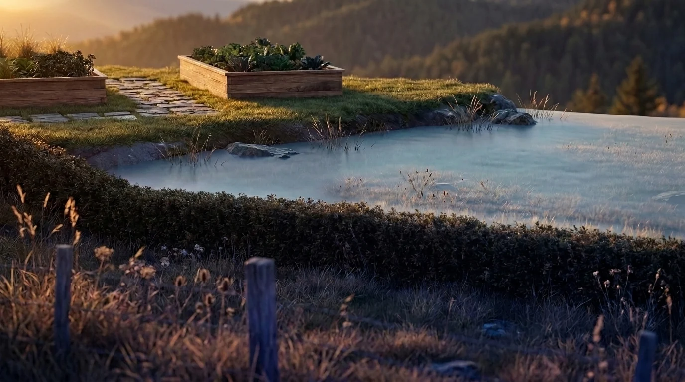
- Elevation: Cold air pools in valleys. A parcel at the bottom of a slope can frost 2-3 weeks later in spring and 2-3 weeks earlier in fall than one at the top — even within the same ZIP code.
- Urban heat island: Cities retain heat from pavement and buildings. Urban parcels may have frost-free seasons 1-2 weeks longer than rural parcels at the same latitude and elevation.
- Water proximity: Large water bodies moderate temperature extremes. Parcels near the Great Lakes, ocean coastlines, or large rivers often have delayed spring warming but also delayed fall frost — shifting the growing window later in both directions.
NOAA's gridded daily record captures these spatial gradients on a 4 km grid, providing frost estimates that account for the local landscape rather than averaging across a ZIP code.
Pro TipHow Growable Ground uses frost data
Growable Ground reads frost dates from the NOAA RCC-ACIS gridded daily record (1991–2020) at your parcel's exact coordinates. These dates feed into multiple scoring dimensions:
- Frost-free season length: The number of days between last spring frost (50% probability) and first fall frost. Crops that need more days than your season provides score lower.
- Planting calendar: Your last spring frost date anchors the planting schedule. "Start indoors 6 weeks before last frost" becomes a specific calendar date for your location.
- Growing degree day accumulation: Frost dates define the start and end of the heat accumulation window. GDD (from PRISM climate data) measures whether enough warmth accumulates during your frost-free period for crops to mature.
- Frost pocket detection: Growable Ground uses USGS elevation data to identify parcels at the bottom of terrain depressions — frost pockets where cold air collects. These locations may experience frost dates outside the regional average.
See YOUR frost dates
Get your frost-free season length calculated from the NOAA RCC-ACIS daily record at your exact coordinates.
Three things about your exact spot that zone averages miss:
We read public map data for this spot — soil, climate, flood, and parcel records. How we handle your address.
25+ data sources analyzed in seconds
Frequently Asked Questions
What are frost dates?
Frost dates are the estimated dates of the last spring frost and first fall frost at your location, typically based on the 50% probability threshold from NOAA's 30-year climate normals. They define your frost-free growing season — the window when tender crops like tomatoes, peppers, and squash can grow outdoors without frost damage.
Are frost dates the same every year?
No. Frost dates are statistical probabilities, not fixed calendar dates. A "last spring frost of April 15" means there's a 50% chance of frost after April 15 in any given year. In practice, the actual last frost can vary by 2-4 weeks in either direction depending on weather patterns.
Why are ZIP code frost dates inaccurate?
ZIP codes can span large areas with significant elevation differences, proximity to water bodies, and urban heat island effects. A ZIP code that includes both a river valley and a hilltop may have frost date differences of 2-3 weeks between locations. The NOAA RCC-ACIS gridded record gives a frost estimate for each 4 km cell rather than one average across a ZIP code.
How does Growable Ground calculate frost dates?
Growable Ground reads the NOAA RCC-ACIS gridded daily temperature record for 1991–2020 at your parcel's coordinates, then finds the typical last spring and first fall night at or below 28°F. The grid is about 4 km across the lower 48, and it accounts for elevation, latitude, and proximity to moderating influences like large water bodies.
Related Guides
Sources & further reading
- NOAA RCC-ACIS — the gridded daily record the frost dates come from
- USDA PHZM — hardiness-zone context
- PRISM Climate — gridded climate data
See what this means where you are
This guide is national — a state's own zones, frost dates and soils change how it plays out. Start with your state's growing hub: