What Grows in Washington

USDA Zones 4a-9b · 6-90 inches annual rainfall

Washington spans USDA hardiness zones 4a-9b, with a growing season of about 208 frost-free days — a generous window with room for succession plantings and warm-season crops that need time to finish.

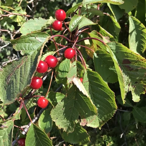
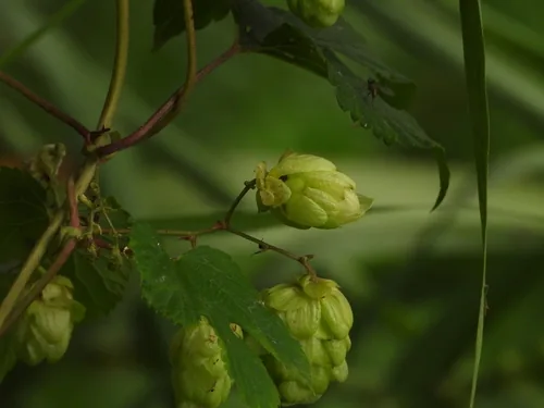
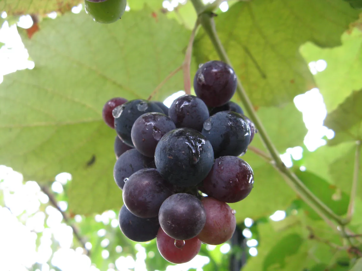
The climate hand here is 6-90 inches of annual rainfall, a median of roughly 1,740 growing-degree days (base 50°F), and about 2,500 winter chill hours for tree fruit — the numbers that decide what ripens comfortably and what runs out of runway. On the soil map, volcanic ash, silt loam (Palouse), sandy loam, and glacial outwash dominate — and drainage is the trait that separates an easy bed from a project. Growing in Washington really means growing in one of its distinct regions — Pacific Northwest, Columbia Basin, and Puget Sound Lowlands — each with its own zone band and frost rhythm. These conditions suit apple, cherry, hop, and grape — a starting list any specific site will trim or extend with its own soil, sun, and drainage.

Grounded inUSDA PHZMNOAA Climate NormalsUSDA NRCS SSURGOGDD (PRISM 1991-2020 normals)Chill hours (PRISM 1991-2020 normals)USDA hardiness sub-region mapEPA FRSUSDA PLANTSGrowable Ground suitability scoring

Score your parcel · free

Your yard isn't the whole state.

Washington spans zones 4a-9b, but your yard sits in exactly one — and slope, tree cover, and low spots nudge it further. Enter your address and we'll score 1,086 plants against your land's actual soil, sun, and frost.

We read public map data around Washington — soil, climate, flood, and parcel records. How we handle your address.

No card required · your full report in seconds

Notable Growing Regions in Washington

Distinct growing regions within Washington — each has its own zones, soils, and signature crops.

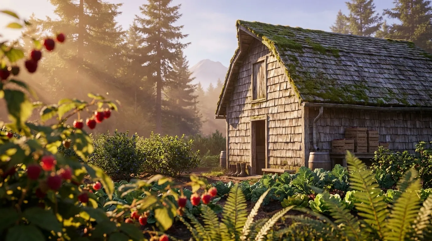
Illustrated landscape of Pacific Northwest
Pacific Northwestalso spans California & OregonThe maritime Northwest west of the Cascade crest — mild, wet winters and dry summers behind berries, tree fruit, and lush cool-season gardens. (Union of the west-side ecoregions.)
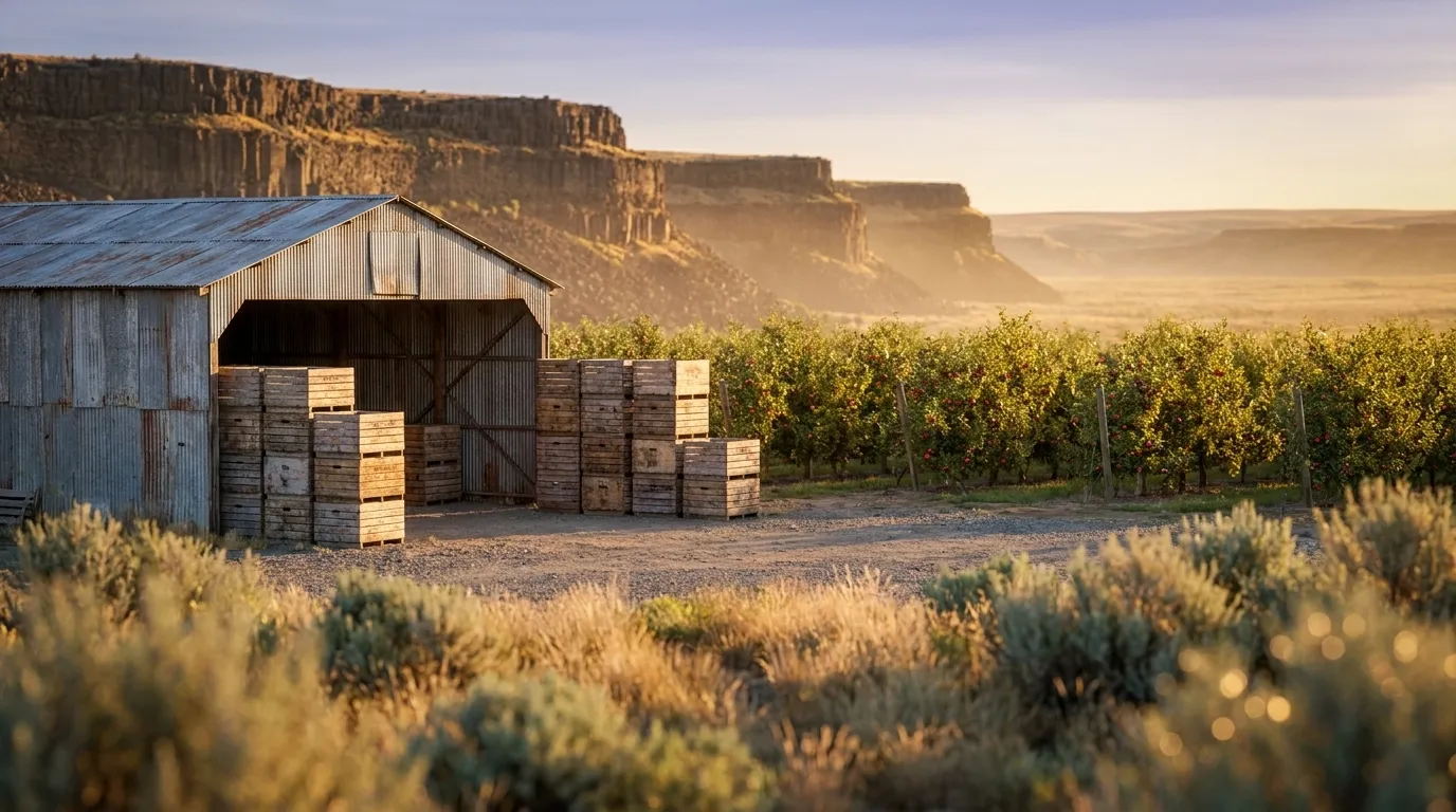
Illustrated landscape of Columbia Basin
Columbia Basinalso spans Idaho & OregonA dry basalt plateau of loess soils in the inland Northwest where irrigation turns arid ground into apple, cherry, hop, and wine-grape country.
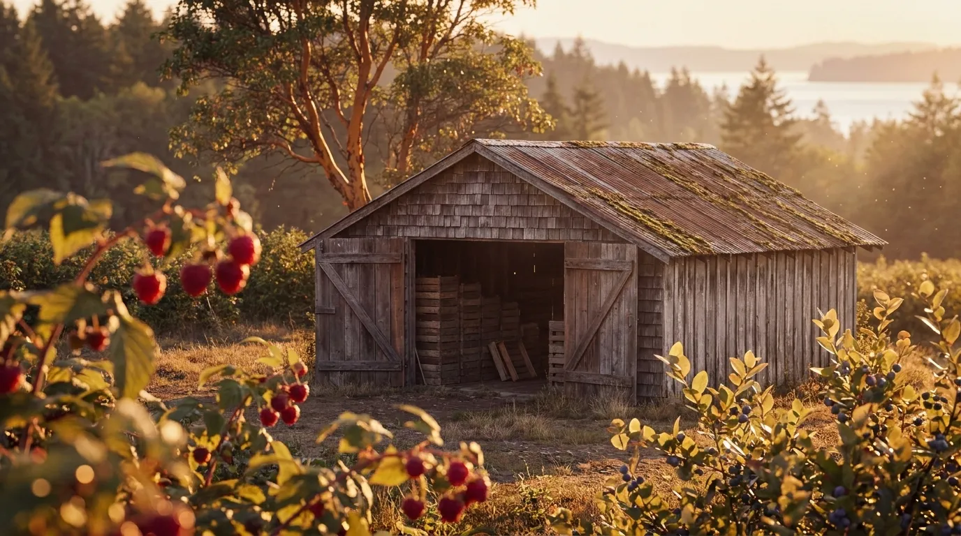
Illustrated landscape of Puget Sound Lowlands
Puget Sound LowlandsThe maritime lowland ringing Puget Sound — EPA's Puget Lowland ecoregion across Island, Kitsap, Mason, San Juan, and Thurston counties — where mild marine winters hold USDA zones 8a-9a and a long 227-to-300-day frost-free season.
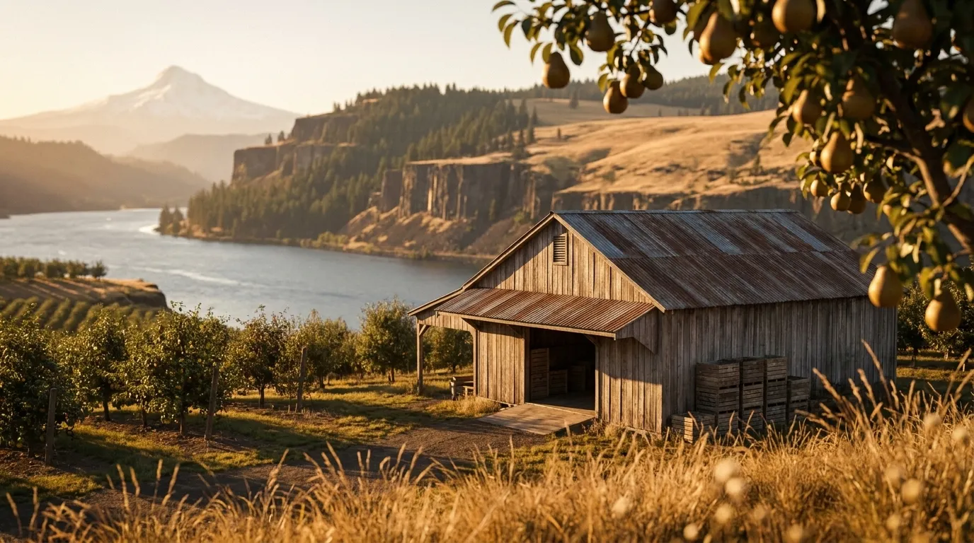
Illustrated landscape of Columbia Gorge
Columbia Gorgealso spans OregonA river canyon cut through the Cascades where wet marine air gives way to high desert in forty miles — pear, cherry, and apple orchards at the west end, vineyards and dryland ground at the east.
Illustrated landscape of Inland Northwest (Northeast Washington)
Inland Northwest (Northeast Washington)The coldest, most continental corner of Washington. Spokane sits at USDA zone 6b, and the Colville and Selkirk highlands of Ferry and Pend Oreille counties drop to 6a — two to three zones colder than the state's maritime west side. Frost-free windows run just 167 to 202 days here, so the growing calendar leans on cold-hardy varieties, a later last-frost start, and a shorter tomato-and-pepper season than anywhere else mapped in Washington. This is NOAA's Northeastern Washington climate division (#9) — hot, dry summers and cold-snap winters across Spokane, Colville, Republic, and Newport.
Illustrated landscape of Olympic Peninsula
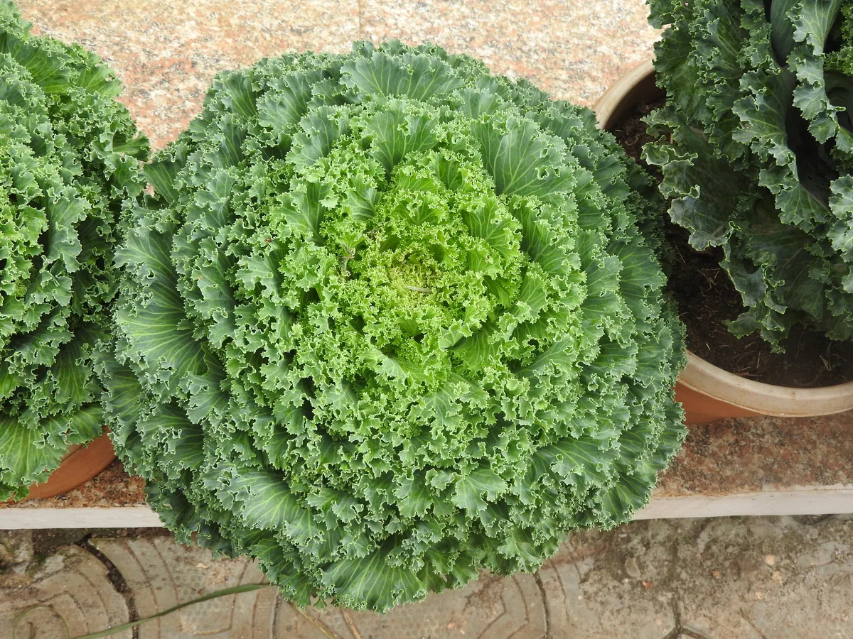
Olympic PeninsulaThe Olympic Peninsula grows in a maritime world of its own. Cooled and watered by the open Pacific and the Strait of Juan de Fuca, its four counties — Clallam, Jefferson, Grays Harbor, and Mason — hold one of the widest rainfall gradients in the contiguous U.S.: from the Hoh and Quinault temperate rainforests (140+ inches a year) to the Sequim–Dungeness rain shadow near 16 inches that made the valley North America's lavender country. Long, mild, cloud-tempered seasons (USDA zones 8a–8b) favor cool-season crops — brassicas, alliums, salad greens, hardy berries, and cider apples — over heat-lovers, and frost timing swings sharply as you climb from tidewater toward the Olympic Mountains (which is why Jefferson County reads a full zone cooler and shorter-seasoned than its coastal neighbors). This page reads the peninsula's own counties, not a Pacific-Northwest-wide average, so the season and zone figures reflect the coast you're actually standing on.
Explore 9 more growing regions

Washington — the short answer

Washington: USDA zones 4a-9b, 131–300 frost-free days depending on the county, 39 counties.

USDA zones
4a-9b
USDA PHZM 2023
Last hard freeze (28°F)
Mar 16 - Apr 15
NOAA Regional Climate Centers ACIS, 1991-2020
First hard freeze (28°F)
Oct 24 - Nov 18
NOAA Regional Climate Centers ACIS, 1991-2020
Shortest county season
131 days
NOAA Regional Climate Centers ACIS, 1991-2020, county 28°F killing freeze — Whatcom County
Annual rainfall
6-90 inches
NOAA Climate Normals
Counties
39
US Census TIGER/Line 2025

The middle half of this state’s counties. Tender transplants usually wait 2–3 weeks past the last hard freeze. The shortest-season figure is Washington's own county record — Whatcom County's measured 28°F normal, not a modeled floor.

Zone 4a-9b is Washington's average, not your lot's — a low corner or a tree line moves it. Against Washington's 208-day season, see what your own ground reads.

Washington is not one growing season

One answer for Washington averages 39 counties whose growing seasons are 169 days apart — from 131 frost-free days in Whatcom County to 300 in San Juan County. That is the same state, measured the same way, in the same years. Which end of it your county sits nearer decides what finishes before the first hard freeze.

131 daysWhatcom County300 daysSan Juan County

The middle half of 39 counties runs 192248 days, with a median of 208 days — a 169-day span end to end.

Measured across 39 counties, each carrying its own 28°F normal. NOAA Regional Climate Centers ACIS, 1991-2020, county 28°F killing freeze. A county with no record of its own is absent from the range rather than counted as zero — nothing here is interpolated to the state. Your own site sits somewhere inside this range; a parcel report resolves where.

Where the line runs inside Washington

The middle half of Washington runs 192248 frost-free days, and 18 of its 39 counties sit outside that — 9 on the short side, 9 on the long. A statewide planting date describes the middle well and the ends poorly, which is worth knowing before you follow one.

Under 192 frost-free days

9 counties

3 of 9 shown

The end of the state that sets the planting calendar — start seed indoors here and the season stretches to meet the crop.

192–248 frost-free days

21 counties

0 of 21 shown

The middle half of the state, and the part a single statewide date describes well.

Over 248 frost-free days

9 counties

3 of 9 shown

Long enough for a second succession of a quick crop after the first comes out.

Each county is placed by its own 28°F frost-free normal (NOAA Regional Climate Centers ACIS, 1991-2020, county 28°F killing freeze), the same figure its own guide page publishes. Elevation, slope and cold-air drainage move a yard within its county as well — which is the part only your address resolves.

The Ground You’re Working With

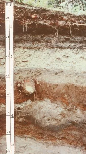
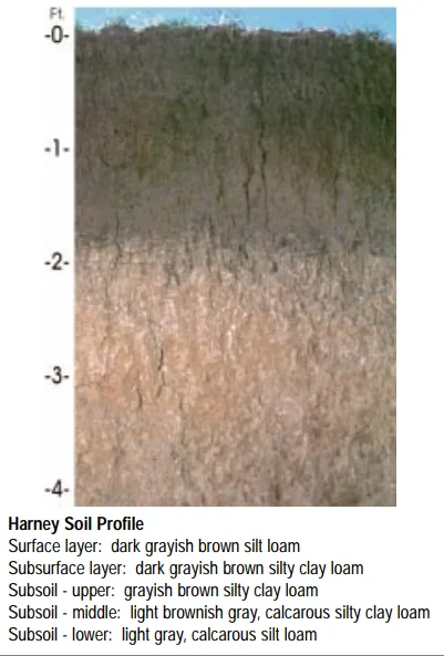
The soil types that dominate Washington — how each drains decides more about crop success than almost anything else. Tap any soil to learn what it is and how to work with it. Each photo is a representative profile of that soil type; the named series is where it was documented, which is often another state.

Andisol profile: layered volcanic-ash soil with a depth scale
Representative Volcanic ashSoil profile: Andisol (USDA soil order)

Volcanic ash

  • Drainage

    Excellent and unusual: ash soils drain freely yet hold remarkable amounts of plant-available water in their porous structure — the best of both habits.

  • What thrives

    Volcanic regions grow celebrated crops the world over: orchards, berries, vegetables, coffee, and wine grapes all prosper on ash-derived soils.

How to work with Volcanic ash
Harney soil profile: deep loessal silt loam with a dark grayish-brown surface
Representative Silt loam (Palouse)Soil profile: Harney series, Kansas

Silt loam (Palouse)

  • Drainage

    Moderate. Silt holds water well and releases it steadily, though the fine particles can crust after hard rain and compact under traffic.

  • What thrives

    The full vegetable garden does well here, and small grains, corn, and leafy greens are classic silt-loam crops. Its steady moisture suits shallow-rooted plants that dislike drought stress.

How to work with Silt loam (Palouse)
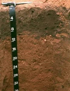
Downer soil profile: reddish sandy loam horizon with a depth scale
Representative Sandy loamSoil profile: Downer series, New Jersey

Sandy loam

  • Drainage

    Fast. The sand fraction opens the soil up, so water moves through the root zone quickly and the surface rarely stays soggy. The trade is that nutrients ride out with the water.

  • What thrives

    Root crops love it — carrots, potatoes, radishes, and onions size up cleanly in ground they can push through. Melons, sweet potatoes, asparagus, and most herbs appreciate the warmth and the drainage.

How to work with Sandy loam
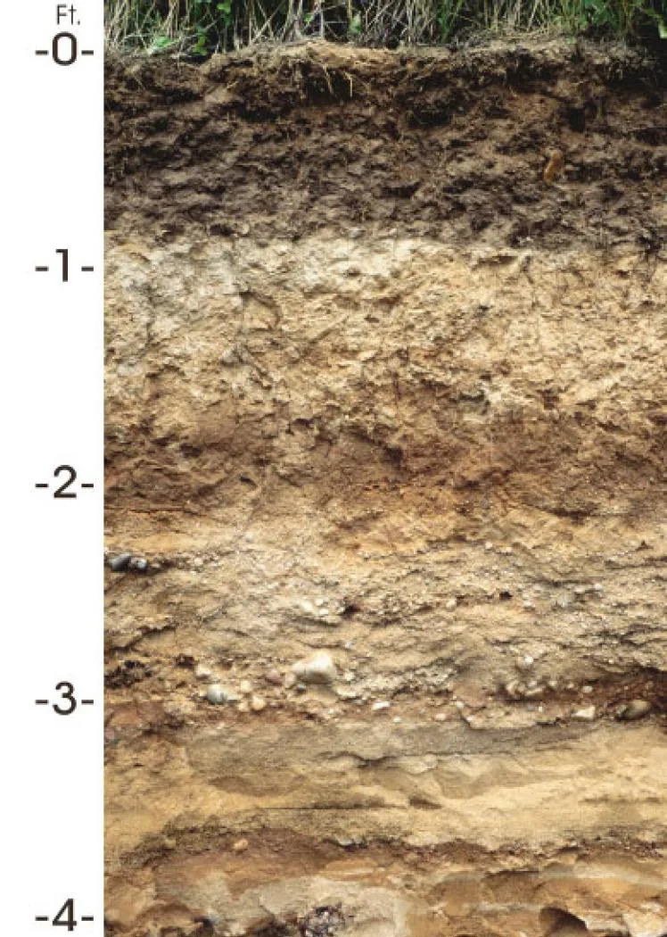
Antigo soil profile: silt over stratified sandy glacial outwash
Representative Glacial outwashSoil profile: Antigo series, Wisconsin

Glacial outwash

  • Drainage

    Fast and deep. Outwash plains are among the best-drained ground in the glaciated states.

  • What thrives

    Root crops, asparagus, bush fruits, and orchard trees on drought-tolerant rootstocks. Anything that resents wet feet considers outwash a gift.

How to work with Glacial outwash
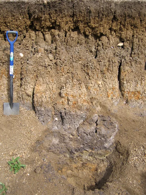
Layered river-laid alluvium in a floodplain soil pit, with a spade for scale
Representative AlluvialRiver-alluvium profile (Fladbury series), Great Ouse floodplainPhoto: Rodney Burton, Geograph, CC BY-SA 2.0 · CC BY-SA 2.0

Alluvial

  • Drainage

    Usually good: rivers sort their loads, and most alluvial soils have enough sand and silt to move water while holding plenty for roots. Low-lying pockets can run wet.

  • What thrives

    Nearly everything — vegetables, orchards, vines, and berries all prosper on alluvium. Its depth lets roots go as far down as they care to.

How to work with Alluvial

Soil data: USDA NRCS SSURGO · Soil types explained

Is it too late to plant in Washington?

For most of the year, no — what changes is which crops still fit the days remaining. Across Washington, cool-season planting typically opens about four weeks before the local last hard freeze — county medians put that freeze near Apr 5, with the middle half of counties between Mar 16 and Apr 15 (NOAA 1991–2020 climate normals). Tender transplants wait two to three weeks past it, and fall planting counts back from first freezes mostly between Oct 24 and Nov 18 — long-season crops need about 90 days of runway, quick greens only 30. A long window like this one runs successions deep into fall — and even its last weeks take quick greens and garlic.

State Symbols of Washington

The plants Washington put its name on — cultural emblems, not growing recommendations.

Official state flower

Coast rhododendron

Rhododendron macrophyllum

Designated 1892.

Official state tree

Western hemlock

Tsuga heterophylla

Designated 1947.

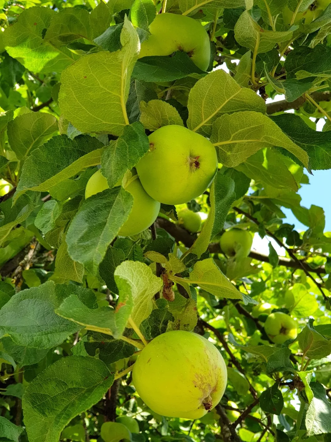
Apple, photograph
Official state fruit

Apple

Designated 1989. In our plant library — see its full growing profile.

Official state vegetable

Walla Walla sweet onion

Designated 2007.

Native Plants of Washington

Plants the USDA PLANTS Database documents as native and present in Washington — a real per-state range, not just a zone match. Ordered by how closely each plant’s published hardiness range matches Washington’s zones 4a-9b, so this is a shortlist by climate fit, not a ranking of which plants matter most here. Presence is statewide, so a plant may still be uncommon in your specific county; your state’s Cooperative Extension or a native-plant society is the local authority.

Also zone-compatible

US-native plants whose hardiness range overlaps Washington’s USDA zones 4a-9b but which USDA PLANTS doesn’t map to a single state range here. Zone overlap is a starting filter, not a range map.

Browse all US-native plants by state & zone →

Growing Challenges in Washington

What an experienced grower plans around here — each one has a move.

Extreme rain divide: 90+ inches west, 6 inches east of Cascades

Plant to your side of the Cascades, not to the state — your exact spot's rainfall decides the whole plan.

East side requires irrigation — no rain from June through September

With no summer rain, drip lines and deep mulch are the growing season — set them up before June.

Slug and root rot pressure on the wet west side

Raise the beds, bait the slugs, and water mornings only — the wet-side trio that keeps roots and leaves healthy; extension has the details.

Short seasons at elevation in the Cascades and northeast corners

In the short-season corners, fast varieties plus a cold frame or tunnel reliably close the gap.

For cultivar selection, pest pressure, and planting-time guidance specific to Washington, the WSU Extension is the authoritative local source.

Safe to Grow Here?

What the federal record shows across Washington — and how to grow with it.

Federal record: High

We checked the federal record across Washington33,912 documented sites across 8 of the 9 source types we track.

The most significant on record: 329 Superfund sites. Sites tracked in EPA's Superfund program — from assessment-stage CERCLIS entries to confirmed National Priorities List cleanup sites.

Washington carries one of the heavier federal records we track — and that's not a verdict on your yard. Proximity to a documented site is information, not a diagnosis: nothing here says any particular parcel is affected. It does earn one concrete step — before food beds go in the ground, a professional soil test tells you exactly what you're working with, and raised beds with clean imported soil grow well almost anywhere in the meantime.

Severity Distribution

across Washington

High874Moderate14,834Low18,204

Highest-Severity Sites

A and C
Mining Sites · Past Producer
Airway Heights City of
PFAS Sampling · PFAS Detected
Abe Lincoln
Mining Sites · Unknown
Aces Up
Mining Sites · Past Producer
Addie B
Mining Sites · Unknown

A note from Gnorman

What an experienced grower watches for around here

In and around Washington, Mining runs higher than the national average — 3,881 sites across Washington. It's not cause for alarm — it's worth knowing, and there's a sensible way to grow around it.

Mining: Mining sites — both historic and active — can leach heavy metals (arsenic, lead, cadmium, mercury) into soil and water for centuries after operations cease.

Test soil for heavy metals (lead, arsenic, cadmium, mercury) — this is essential near any mining site.

Sources: EPA, USGS1.8M documented sites tracked nationwide across 9 federal source types.

Your land is one point inside Washington

Everything above resolves to Washington as a whole — a state whose own counties record seasons 169 days apart, and hardiness across zones 4a-9b. Your parcel sits at one point in that range, not in the middle of it. Slope, tree cover, a low spot that pools cold air, and what is in the soil are all resolved at the address, and none of them are visible at state scale. That is the honest boundary of this page, and the reason the next step is a reading of your own ground rather than a better statewide average.

See what grows on YOUR specific land

State averages sketch the shape. Your soil, sun exposure, drainage, and microclimate decide what actually takes. Pull a site-specific report for your exact parcel.

Free Report

Read your Washington parcel

Enter your address. We read your soil, sun, drainage, and frost dates, then score 1,086 plants against the real conditions on your land.

Three things about your lot that Washington averages can't show:

Your soil pHYour frost-free days — Washington averages 208Your sun & shade

We read public map data around Washington — soil, climate, flood, and parcel records. How we handle your address.

25+ data sources read at your address, not the Washington average

How we know this about Washington

The datasets: hardiness from the USDA ARS Plant Hardiness Zone Map 2023, read per county and aggregated to the state band; the growing season from NOAA Regional Climate Centers ACIS 1991–2020 28°F normals, read at each county’s own record; rainfall from NOAA Climate Normals; soils from USDA NRCS SSURGO; boundaries from US Census TIGER/Line 2025; the contamination record from the federal sources named in that beat above. Where a county carries no record of its own, it is absent from the figure rather than filled in.

Common questions about Washington

What USDA hardiness zones are in Washington?

Washington spans USDA hardiness zones 4a-9b — which is to say winter's coldest night runs from about −30°F to 30°F depending where in Washington you are, averaged over 1991–2020 (USDA PHZM 2023).

Is it too late to plant in Washington?

For most of the year, no — what changes is which crops still fit the days remaining. Across Washington, cool-season planting typically opens about four weeks before the local last hard freeze — county medians put that freeze near Apr 5, with the middle half of counties between Mar 16 and Apr 15 (NOAA 1991–2020 climate normals). Tender transplants wait two to three weeks past it, and fall planting counts back from first freezes mostly between Oct 24 and Nov 18 — long-season crops need about 90 days of runway, quick greens only 30. A long window like this one runs successions deep into fall — and even its last weeks take quick greens and garlic.

When does frost risk typically end in Washington?

Across Washington, the middle half of counties see their last hard freeze (28°F) between about Mar 16 and Apr 15, with a county median near Apr 5 (NOAA 1991–2020 climate normals). That marks the hard freeze, not the last light frost — lighter frosts keep biting past it, which is why tender transplants here wait until about Apr 26.

How long is the growing season in Washington?

Measured between 28°F hard freezes, growing seasons across Washington's counties mostly run about 193 to 246 days, with a county median near 208 (NOAA 1991–2020 climate normals). Tender crops get a somewhat shorter practical window, since lighter frosts reach a few weeks past the hard-freeze dates on both ends.

What vegetables grow well in Washington?

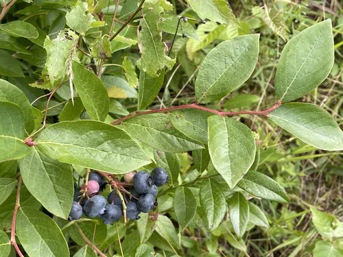
Washington's zones 4a-9b support a wide range — strong performers include Apple, Cherry, Hop, Grape, and Blueberry. What actually takes on any one site comes down to its soil, sun, and drainage, and we score each plant against the real conditions at your address.

Which hardiness zone is Washington, really?

Officially, Washington spans USDA zones 4a-9b (USDA PHZM 2023) — but a zone is a 30-year average of winter's coldest night across an area, and it can't see any one yard. A south-facing slope, a tree line, or a low frost pocket can shift a single site by half a zone either way, which is why neighboring gardeners often quote different numbers. We read the conditions at your exact address — soil, sun, slope, and frost — and score 1,086 plants against what's actually there.

Is the soil safe to grow vegetables in Washington?

The federal record across Washington runs heavier than most — 33,912 documented sites, mostly Underground Storage Tanks entries (16,413) — so test the soil before planting food in the ground, and raised beds with clean imported soil grow well in the meantime. Even here, proximity to a documented site is information, not a diagnosis of any one yard; the contamination map shows exactly what's recorded and where.

Just moved to Washington — what should I know before planting?

Start with three facts. Washington spans USDA zones 4a-9b, which sets what survives winter; last hard freezes range from about Mar 16 to Apr 15 across its counties (NOAA 1991–2020 climate normals); and 33,912 documented sites sit on the federal record here, so a soil test before food beds is the smart first step. From there, matching plants to your actual soil and sun is the fun part.


Everything above is measured at Washington's scale — its 4a-9b band and its 208-day season. Your yard writes its own version of Washington's numbers: we read soil, sun, drainage and frost at your exact address. Try it for 14 days — no card required.

What this page reads at Washington’s own scale

6 of the readings below were taken at Washington's own scale — the full zone 4a-9b span inside its borders, the 5 soil types that dominate its ground and 33,912 documented sites on its federal record; anything it cannot resolve at this scale is named below.

Measured here

  • The full span of USDA hardiness zones 4a-9b inside Washington's bordersUSDA PHZM 2023
  • A statewide 28°F hard-freeze window — the middle half of counties run roughly Mar 16 - Apr 15 to Oct 24 - Nov 18NOAA Regional Climate Centers ACIS, 1991-2020
  • 6-90 inches of annual rainfall across the stateNOAA Climate Normals
  • A statewide median of about 1,740 growing-degree days and about 2,500 winter chill hours, aggregated county by countyPRISM 1991–2020 normals
  • The 5 soil types that dominate Washington's groundUSDA NRCS SSURGO
  • 33,912 documented contamination sites on the state's federal recordFederal environmental registers

What this page can’t tell you

  • Which single zone your own corner of Washington sits in — zones 4a-9b is the full span across all 39 counties, not a reading anywhere in particularcounty guides
  • When YOUR last frost actually lands — each of the 39 counties below carries its own normal, days to weeks off the statewide windowfrost dates explained
  • The soil pH, drainage, sun hours, and frost pockets on one specific lotwhy one lot differs from the next
Narrow it down: 39 counties in Washington

Cities & Towns in Washington

Explore growing conditions by city or town in Washington.

AberdeenAberdeen GardensAcmeAddyAhtanumAirway HeightsAlbionAlderAldertonAlderwood ManorAlgerAlgonaAllynAlmiraAltoonaAmanda ParkAmboyAmes LakeAnacortesAnatoneAnderson IslandArlingtonArlington HeightsArtondaleAshfordAsotinAuburnBainbridge IslandBangor BaseBanks Lake SouthBarbertonBaringBarney's JunctionBarstowBasin CityBattle GroundBay CenterBay ViewBeacon HillBelfairBell HillBellevueBellinghamBenton CityBethelBeverlyBickletonBig LakeBingenBirch BayBlack DiamondBlaineBlynBonney LakeBothellBothell EastBothell WestBoulevard ParkBowBoydsBradyBremertonBrewsterBridgeportBrierBrinnonBrowns PointBrush PrairieBryantBryn Mawr-SkywayBuckleyBucodaBuenaBunk FossBurbankBurienBurleyBurlingtonCamanoCamasCanterwoodCanyon CreekCarbonadoCarlsborgCarnationCarsonCascade ValleyCashmereCastle RockCathcartCathlametCavaleroCentervilleCentral ParkCentraliaChain LakeChehalisChelanChelan FallsCheneyCherry GroveChewelahChicoChinookClallam BayClarkstonClarkston Heights-VinelandClaytonCle ElumClear LakeClear LakeClearviewCliffdellClintonClover CreekClyde HillCohassett BeachColfaxCollege PlaceColtonColvilleConconullyConcreteConnellConwayCopalis BeachCosmopolisCottage LakeCougarCoulee CityCoulee DamCountry HomesCoupevilleCovingtonCowicheCrescent BarCrestonCrockerCurlewCurlew LakeCusickCusterDallesportDanvilleDarringtonDash PointDavenportDaytonDeep RiverDeer ParkDemingDes MoinesDesert AireDisautelDixieDollars CornerDonaldDuPontDuluthDuvallEast CathlametEast Port OrchardEast Renton HighlandsEast WenatcheeEastmontEastonEatonvilleEdgewoodEdisonEdmondsElectric CityElk PlainEllensburgElmaElmer CityEndicottEnetaiEntiatEnumclawEphrataErlands PointEschbachEsperanceEverettEversonFairchild AFBFairfieldFairwoodFairwoodFall CityFarmingtonFederal WayFelidaFern PrairieFerndaleFifeFife HeightsFinleyFircrestFive CornersFobes HillFords PrairieForksFort LewisFour LakesFox IslandFredericksonFreelandFriday HarborGarfieldGarrettGenevaGeorgeGig HarborGlacierGleedGlenwoodGold BarGoldendaleGorstGrahamGrand CouleeGrand MoundGrandviewGrangerGranite FallsGrapeviewGraylandGrays RiverGreen BluffGreenwaterHamiltonHansvilleHarrahHarringtonHartlineHat IslandHattonHazel DellHerron IslandHigh BridgeHobartHockinsonHogans CornerHomeHoodsportHoquiamHumptulipsHunts PointIlwacoIncheliumIndexIndianolaIoneIssaquahJamestownKahlotusKalamaKapowsinKayak PointKellerKelsoKendallKenmoreKennewickKentKetron IslandKettle FallsKey CenterKeyportKingstonKirklandKitsap LakeKittitasKlickitatKruppLa CenterLa ConnerLa GrandeLaCrosseLaceyLake BosworthLake CassidyLake CavanaughLake Forest ParkLake GoodwinLake HolmLake KetchumLake Marcel-StillwaterLake McMurrayLake Morton-BerrydaleLake RoesigerLake ShoreLake StevensLake StickneyLake TappsLakeland NorthLakeland SouthLakeviewLakewoodLamontLangleyLarch WayLatahLeavenworthLebamLewisvilleLexingtonLiberty LakeLindLochsloyLofallLong BeachLongbranchLongviewLongview HeightsLoomisLoon LakeLower ElochomanLyleLymanLyndenLynnwoodMabtonMachiasMaldenMaloMaloneMalottMaltbyManchesterMansfieldMansonMaple FallsMaple Heights-Lake DesireMaple ValleyMaplewoodMarblemountMarcusMarietta-AlderwoodMarine ViewMarkhamMarrowstoneMartha LakeMaryhillMarysvilleMattawaMay CreekMcChord AFBMcClearyMcKennaMcMillinMeadMeadow GladeMeadowdaleMedical LakeMedinaMercer IslandMesaMetalineMetaline FallsMethowMidlandMill CreekMill Creek EastMillwoodMiltonMineralMinnehahaMirrormontMoclipsMonroeMonroe NorthMontesanoMortonMoses LakeMoses Lake NorthMossyrockMount VernonMount VistaMountlake TerraceMoxeeMukilteoNachesNapavineNaselleNavy Yard CityNeah BayNeiltonNespelemNespelem CommunityNewcastleNewportNileNisqually Indian CommunityNooksackNormandy ParkNorth BendNorth BonnevilleNorth Fort LewisNorth LynnwoodNorth OmakNorth PuyallupNorth SultanNorth YelmNorthportNorthwest StanwoodOak HarborOakesdaleOakvilleOcean CityOcean ParkOcean ShoresOcostaOdessaOkanoganOlympiaOmakOnalaskaOrchardsOrientOrovilleOrtingOsoOthelloOtis Orchards-East FarmsOutlookOyehutPacificPacific BeachPackwoodPalouseParkerParklandParkwoodPascoPatahaPaterosPe EllPeaceful ValleyPicnic PointPine GrovePoint RobertsPomeroyPort AngelesPort Angeles EastPort Gamble Tribal CommunityPort Hadlock-IrondalePort LudlowPort OrchardPort TownsendPorterPoulsboPrairie HeightsPrairie RidgePrescottProsserPuget IslandPullmanPurdyPuyallupQueetsQui-nai-elt VillageQuilceneQuincyRaft IslandRainierRavensdaleRaymondReardanRedmondRentonRepublicRichlandRidgefieldRitzvilleRiver RoadRiverbendRiverpointRiversideRoche HarborRochesterRock IslandRockfordRockportRocky PointRonaldRooseveltRosaliaRosburgRosedaleRoslynRoyRoyal CityRustonRyderwoodSalmon CreekSammamishSantiagoSatsopSchwanaSeaTacSeabeckSeattleSedro-WoolleySekiuSelahSequimShadow LakeSheltonShorelineSilvanaSilver FirsSilverdaleSisco HeightsSkamokawa ValleySkokomishSkykomishSnohomishSnoqualmieSnoqualmie PassSoap LakeSouth BendSouth Cle ElumSouth CreekSouth HillSouth PrairieSouth WenatcheeSouthworthSpanawaySpangleSpokaneSpokane ValleySpragueSpringdaleSt. JohnStansberry LakeStanwoodStarbuckStartupSteilacoomSteptoeStevensonSudden ValleySultanSumasSummitSummit ViewSummitviewSumnerSuncrestSunday LakeSunland EstatesSunnysideSunnyslopeSuquamishSwede HeavenTacomaTaholahTampicoTanglewildeTehalehTekoaTeninoTerrace HeightsThorpThree LakesTietonTokelandToledoTonasketToppenishTorboyTouchetTown and CountryTracytonTrout LakeTukwilaTumwaterTwin LakesTwispUnionUnion GapUnion Hill-Novelty HillUniontownUniversity PlaceUpper ElochomanVaderValleyVancouverVantageVashonVaughnVenersborgVerlotWaitsburgWalla WallaWalla Walla EastWallerWallulaWapatoWardenWarm BeachWashougalWashtucnaWatervilleWaunaWaverlyWenatcheeWest Clarkston-HighlandWest PascoWest RichlandWestportWheelerWhidbey Island StationWhite CenterWhite SalmonWhite SwanWilburWilderness RimWilkesonWillapaWilson CreekWinlockWinthropWishramWollochetWoodinvilleWoodlandWoods CreekWoodwayYacoltYakimaYarrow PointYelmZillah

States with a Similar Growing Climate

Washington shares its dominant growing region with these states — a useful comparison if you're weighing where a crop will behave the same way.