What Grows in Wyoming

USDA Zones 3b-6a · 6-20 inches annual rainfall

Wyoming spans USDA hardiness zones 3b-6a, with a growing season of about 151 frost-free days — a working season long enough for the classics, short enough that timing around frost stays part of the craft.

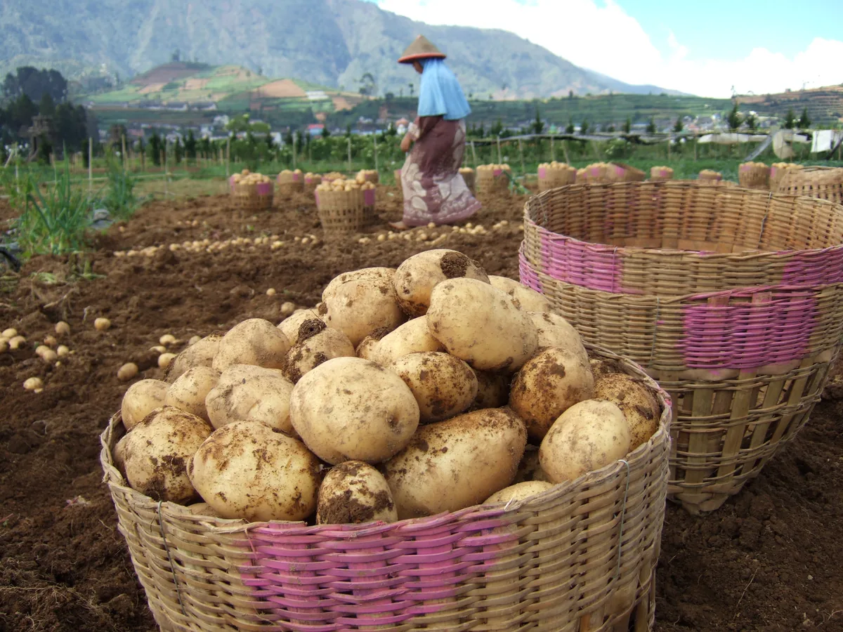
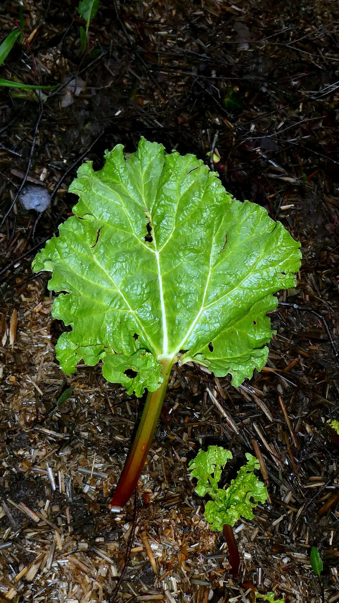
Those zone numbers rest on 6-20 inches of annual rainfall, a median of roughly 1,866 growing-degree days (base 50°F), and about 2,500 winter chill hours for tree fruit — the measurements that do the deciding. The prevailing soils — sandy loam, clay, alkaline, and volcanic ash — differ most in how they drain, which is exactly where crop success is usually decided. Between High Plains, Bighorn Basin, and Jackson Hole & Teton Valley, the growing rules shift enough that zone and frost advice only turns precise once you pick your region. Among the crops suited to this profile: potato, indian paintbrush, cottonwood, and rhubarb. The site-level story — soil, sun, drainage — decides the rest.

Grounded inUSDA PHZMNOAA Climate NormalsUSDA NRCS SSURGOGDD (PRISM 1991-2020 normals)Chill hours (PRISM 1991-2020 normals)USDA hardiness sub-region mapEPA FRSUSDA PLANTSGrowable Ground suitability scoring

Score your parcel · free

Your yard isn't the whole state.

Wyoming spans zones 3b-6a, but your yard sits in exactly one — and slope, tree cover, and low spots nudge it further. Enter your address and we'll score 1,086 plants against your land's actual soil, sun, and frost.

We read public map data around Wyoming — soil, climate, flood, and parcel records. How we handle your address.

No card required · your full report in seconds

Notable Growing Regions in Wyoming

Distinct growing regions within Wyoming — each has its own zones, soils, and signature crops.

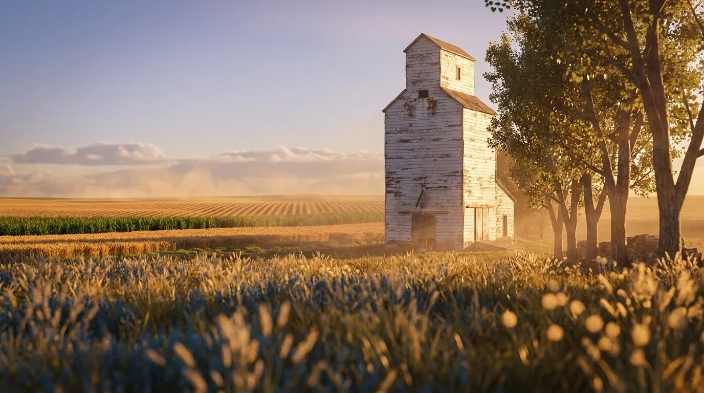
Illustrated landscape of High Plains
High Plainsalso spans Colorado, Kansas & 4 moreA semi-arid shortgrass tableland of deep soils and big sky, where wind, low rainfall, and irrigation shape dryland wheat, sorghum, and resilient gardens.
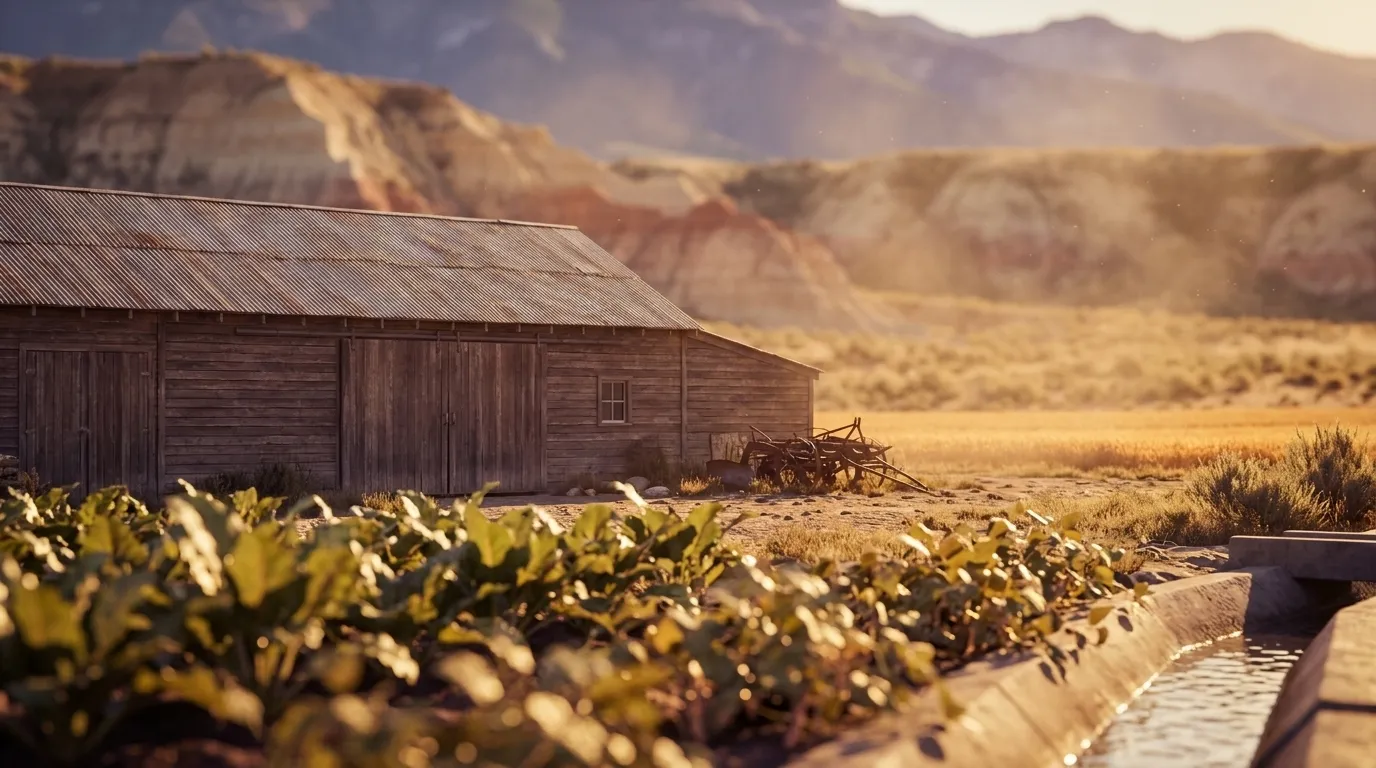
Illustrated landscape of Bighorn Basin
Bighorn BasinWyoming's warmest, longest-season ground sits in a rain-shadow desert, not on a mountainside. The Bighorn Basin runs 117–166 frost-free days in USDA zones 4b–5a at about 4,000–4,500 ft — the irrigated basin floor holds the long end of that range and the mountain rim the short one, and the middle of it still runs 30 to 90 days longer than the ranges that wall it in. What grows here is a fundamentally irrigated story: Bighorn- and Shoshone-river water turns a semi-arid valley into Wyoming's commercial sugar-beet, dry-bean (pinto), malting-barley and alfalfa country. Plan for cold high-desert swings and irrigation, not high-plains dryland.
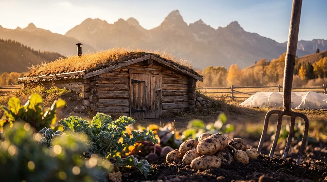
Illustrated landscape of Jackson Hole & Teton Valley
Jackson Hole & Teton Valleyalso spans IdahoTwo high valleys astride the Tetons where summer frost is never truly off the table — a 4a-6a band and a roughly 99-131-day window that make cold-hardy, fast, and season-extended the entire playbook.
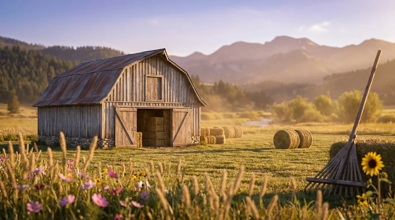
Illustrated landscape of Star Valley
Star ValleyA high mountain valley on the Idaho line — twelve towns of 4b-5a hay-and-garden ground with a 106-128-day frost window; short, bright, honest mountain gardening in the valley the Mormon settlers called the Star of all valleys.
Illustrated landscape of Wind River Basin (Lander–Riverton)
Wind River Basin (Lander–Riverton)Lander and Riverton's sheltered basin — a banana belt by Wyoming standards, where the Wind River's 4b-5a floor squeezes out a 147-171-day season the surrounding high country cannot match.

Wyoming — the short answer

Wyoming: USDA zones 3b-6a, 79–166 frost-free days depending on the county, 23 counties.

USDA zones
3b-6a
USDA PHZM 2023
Last hard freeze (28°F)
May 4 - May 13
NOAA Regional Climate Centers ACIS, 1991-2020
First hard freeze (28°F)
Sep 30 - Oct 7
NOAA Regional Climate Centers ACIS, 1991-2020
Shortest county season
79 days
NOAA Regional Climate Centers ACIS, 1991-2020, county 28°F killing freeze — Teton County
Annual rainfall
6-20 inches
NOAA Climate Normals
Counties
23
US Census TIGER/Line 2025

The middle half of this state’s counties. Tender transplants usually wait 2–3 weeks past the last hard freeze. The shortest-season figure is Wyoming's own county record — Teton County's measured 28°F normal, not a modeled floor.

Zone 3b-6a is Wyoming's average, not your lot's — a low corner or a tree line moves it. Against Wyoming's 151-day season, see what your own ground reads.

Wyoming is not one growing season

One answer for Wyoming averages 23 counties whose growing seasons are 87 days apart — from 79 frost-free days in Teton County to 166 in Big Horn County. That is the same state, measured the same way, in the same years. Which end of it your county sits nearer decides what finishes before the first hard freeze.

79 daysTeton County166 daysBig Horn County

The middle half of 23 counties runs 136155 days, with a median of 151 days — a 87-day span end to end.

Measured across 23 counties, each carrying its own 28°F normal. NOAA Regional Climate Centers ACIS, 1991-2020, county 28°F killing freeze. A county with no record of its own is absent from the range rather than counted as zero — nothing here is interpolated to the state. Your own site sits somewhere inside this range; a parcel report resolves where.

Where the line runs inside Wyoming

The middle half of Wyoming runs 136155 frost-free days, and 9 of its 23 counties sit outside that — 5 on the short side, 4 on the long. A statewide planting date describes the middle well and the ends poorly, which is worth knowing before you follow one.

Under 136 frost-free days

5 counties

3 of 5 shown

The end of the state that sets the planting calendar — start seed indoors here and the season stretches to meet the crop.

136–155 frost-free days

14 counties

0 of 14 shown

The middle half of the state, and the part a single statewide date describes well.

Over 155 frost-free days

4 counties

3 of 4 shown

Long enough for a second succession of a quick crop after the first comes out.

Each county is placed by its own 28°F frost-free normal (NOAA Regional Climate Centers ACIS, 1991-2020, county 28°F killing freeze), the same figure its own guide page publishes. Elevation, slope and cold-air drainage move a yard within its county as well — which is the part only your address resolves.

The Ground You’re Working With

The soil types that dominate Wyoming — how each drains decides more about crop success than almost anything else. Tap any soil to learn what it is and how to work with it. Each photo is a representative profile of that soil type; the named series is where it was documented, which is often another state.

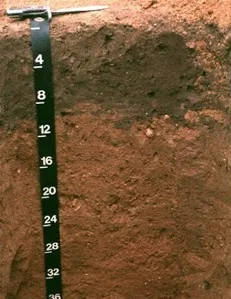
Downer soil profile: reddish sandy loam horizon with a depth scale
Representative Sandy loamSoil profile: Downer series, New Jersey

Sandy loam

  • Drainage

    Fast. The sand fraction opens the soil up, so water moves through the root zone quickly and the surface rarely stays soggy. The trade is that nutrients ride out with the water.

  • What thrives

    Root crops love it — carrots, potatoes, radishes, and onions size up cleanly in ground they can push through. Melons, sweet potatoes, asparagus, and most herbs appreciate the warmth and the drainage.

How to work with Sandy loam
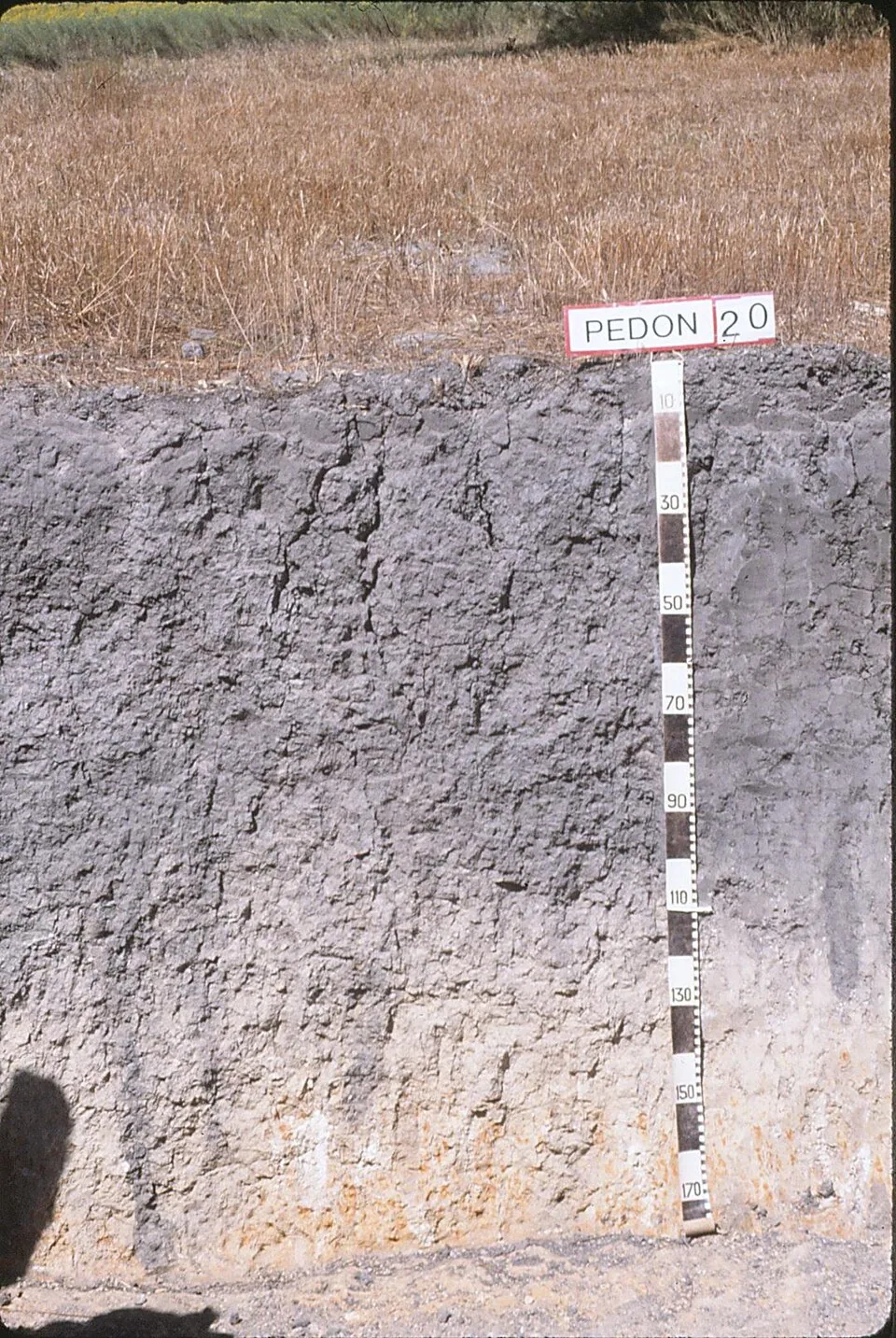
Vertic Argiustoll pedon: dense gray vertic clay profile with a depth scale, Victoria County, Texas
Representative ClaySoil profile: Vertic Argiustoll, Victoria County, TexasPhoto: Soil Science (soilscience.info, NC State), CC BY 2.0 · CC BY 2.0

Clay

  • Drainage

    Slow. Water enters clay reluctantly and leaves it the same way, so wet springs keep it cold and unworkable longer than lighter soils.

  • What thrives

    Once established, heavy feeders prosper — brassicas, beans, corn, and many fruit trees ride clay’s nutrient supply and summer moisture reserve. Daylilies, roses, and prairie perennials handle it without complaint.

How to work with Clay

Ground with pH above neutral — the norm in dry country, where rainfall never fully leaches the calcium and other bases out of the profile. The chemistry governs which nutrients roots can actually reach.

Alkaline

  • Drainage

    Alkalinity is chemistry, not texture — these soils range from fast sands to slow clays. What they share is the high pH, not a drainage habit.

  • What thrives

    A long roster of garden plants is comfortable above pH 7: asparagus, beets, spinach, brassicas, figs, pomegranates, lavender, and most Mediterranean herbs among them.

How to work with Alkaline
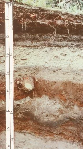
Andisol profile: layered volcanic-ash soil with a depth scale
Representative Volcanic ashSoil profile: Andisol (USDA soil order)

Volcanic ash

  • Drainage

    Excellent and unusual: ash soils drain freely yet hold remarkable amounts of plant-available water in their porous structure — the best of both habits.

  • What thrives

    Volcanic regions grow celebrated crops the world over: orchards, berries, vegetables, coffee, and wine grapes all prosper on ash-derived soils.

How to work with Volcanic ash

Soil data: USDA NRCS SSURGO · Soil types explained

Top 5 Plants for Wyoming

Plants well-suited to Wyoming's climate, soils, and growing season — each links to its full growing profile.

Is it too late to plant in Wyoming?

Usually not — gardeners here simply switch what goes in the ground as the season moves. Across Wyoming, cool-season planting typically opens about four weeks before the local last hard freeze — county medians put that freeze near May 6, with the middle half of counties between May 4 and May 13 (NOAA 1991–2020 climate normals). Tender transplants wait two to three weeks past it, and fall planting counts back from first freezes mostly between Sep 30 and Oct 7 — long-season crops need about 90 days of runway, quick greens only 30. Late in the year the fall bench takes over — quick greens, radishes, and garlic that repays you next summer.

State Symbols of Wyoming

The plants Wyoming put its name on — cultural emblems, not growing recommendations.

Official state flower

Indian paintbrush

Castilleja linariifolia

Designated 1917.

Official state tree

Plains cottonwood

Populus deltoides monilifera

Designated 1947.

Native Plants of Wyoming

Plants the USDA PLANTS Database documents as native and present in Wyoming — a real per-state range, not just a zone match. Ordered by how closely each plant’s published hardiness range matches Wyoming’s zones 3b-6a, so this is a shortlist by climate fit, not a ranking of which plants matter most here. Presence is statewide, so a plant may still be uncommon in your specific county; your state’s Cooperative Extension or a native-plant society is the local authority.

Also zone-compatible

US-native plants whose hardiness range overlaps Wyoming’s USDA zones 3b-6a but which USDA PLANTS doesn’t map to a single state range here. Zone overlap is a starting filter, not a range map.

Browse all US-native plants by state & zone →

Growing Challenges in Wyoming

What an experienced grower plans around here — each one has a move.

Extremely short growing season (60-90 frost-free days)

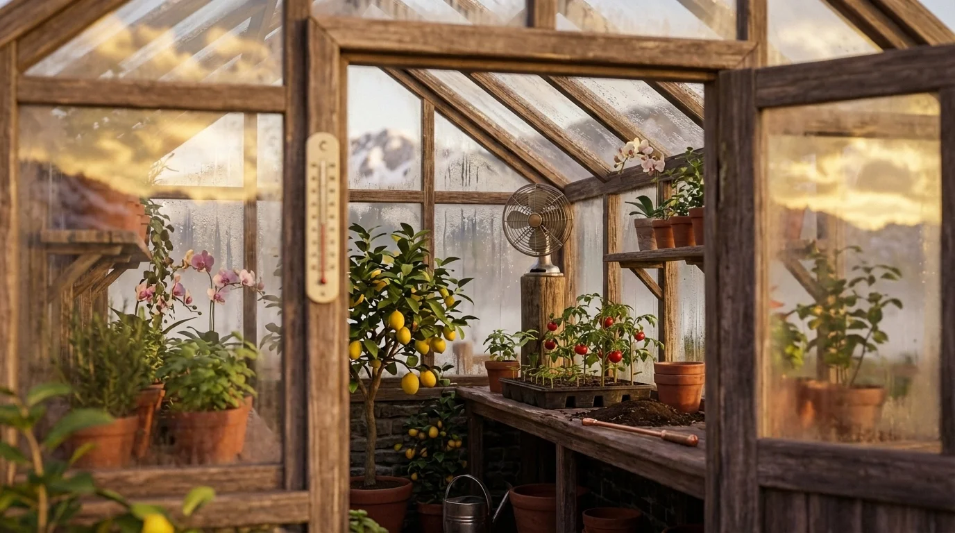
At 60-90 frost-free days, a greenhouse or high tunnel isn't optional equipment — it's where the season actually happens.

Very low rainfall requires irrigation

Drip irrigation under mulch makes scarce water go the distance — build the system before the first bed.

Persistent high winds desiccate and damage plants

Windbreaks first, plants second — a sheltered bed loses a fraction of the moisture an exposed one does.

For cultivar selection, pest pressure, and planting-time guidance specific to Wyoming, the University of Wyoming Extension is the authoritative local source.

Safe to Grow Here?

What the federal record shows across Wyoming — and how to grow with it.

Federal record: High

We checked the federal record across Wyoming10,910 documented sites across 8 of the 9 source types we track.

The most significant on record: 64 Superfund sites. Sites tracked in EPA's Superfund program — from assessment-stage CERCLIS entries to confirmed National Priorities List cleanup sites.

Wyoming carries one of the heavier federal records we track — and that's not a verdict on your yard. Proximity to a documented site is information, not a diagnosis: nothing here says any particular parcel is affected. It does earn one concrete step — before food beds go in the ground, a professional soil test tells you exactly what you're working with, and raised beds with clean imported soil grow well almost anywhere in the meantime.

Severity Distribution

across Wyoming

High42Moderate5,938Low4,930

Highest-Severity Sites

B&H Mining Company
Mining Sites · Past Producer
Baxter/Union Pacific Tie Treating
Superfund · Superfund NPL
Black Thunder Coal Mine
PFAS Sampling · PFAS Detected
Black Butte Deposit
Mining Sites · Past Producer
Bridger Mine
Mining Sites · Past Producer

A note from Gnorman

What an experienced grower watches for around here

In and around Wyoming, Nitrate runs higher than the national average — 4,750 sites across Wyoming. Knowing it is half the work — and it's nothing a thoughtful grower can't plan for.

Nitrate: Nitrate contamination primarily comes from agricultural fertilizer runoff and failing septic systems.

Test well water for nitrate if you rely on a private well for irrigation (EPA standard: 10 mg/L).

Sources: EPA, USGS1.8M documented sites tracked nationwide across 9 federal source types.

Your land is one point inside Wyoming

Everything above resolves to Wyoming as a whole — a state whose own counties record seasons 87 days apart, and hardiness across zones 3b-6a. Your parcel sits at one point in that range, not in the middle of it. Slope, tree cover, a low spot that pools cold air, and what is in the soil are all resolved at the address, and none of them are visible at state scale. That is the honest boundary of this page, and the reason the next step is a reading of your own ground rather than a better statewide average.

See what grows on YOUR specific land

State averages sketch the shape. Your soil, sun exposure, drainage, and microclimate decide what actually takes. Pull a site-specific report for your exact parcel.

Free Report

Read your Wyoming parcel

Enter your address. We read your soil, sun, drainage, and frost dates, then score 1,086 plants against the real conditions on your land.

Three things about your lot that Wyoming averages can't show:

Your soil pHYour frost-free days — Wyoming averages 151Your sun & shade

We read public map data around Wyoming — soil, climate, flood, and parcel records. How we handle your address.

25+ data sources read at your address, not the Wyoming average

How we know this about Wyoming

The datasets: hardiness from the USDA ARS Plant Hardiness Zone Map 2023, read per county and aggregated to the state band; the growing season from NOAA Regional Climate Centers ACIS 1991–2020 28°F normals, read at each county’s own record; rainfall from NOAA Climate Normals; soils from USDA NRCS SSURGO; boundaries from US Census TIGER/Line 2025; the contamination record from the federal sources named in that beat above. Where a county carries no record of its own, it is absent from the figure rather than filled in.

Common questions about Wyoming

What USDA hardiness zones are in Wyoming?

Wyoming spans USDA hardiness zones 3b-6a — which is to say winter's coldest night runs from about −35°F to −5°F depending where in Wyoming you are, averaged over 1991–2020 (USDA PHZM 2023).

Is it too late to plant in Wyoming?

Usually not — gardeners here simply switch what goes in the ground as the season moves. Across Wyoming, cool-season planting typically opens about four weeks before the local last hard freeze — county medians put that freeze near May 6, with the middle half of counties between May 4 and May 13 (NOAA 1991–2020 climate normals). Tender transplants wait two to three weeks past it, and fall planting counts back from first freezes mostly between Sep 30 and Oct 7 — long-season crops need about 90 days of runway, quick greens only 30. Late in the year the fall bench takes over — quick greens, radishes, and garlic that repays you next summer.

When does frost risk typically end in Wyoming?

Across Wyoming, the middle half of counties see their last hard freeze (28°F) between about May 4 and May 13, with a county median near May 6 (NOAA 1991–2020 climate normals). That marks the hard freeze, not the last light frost — lighter frosts keep biting past it, which is why tender transplants here wait until about May 27.

How long is the growing season in Wyoming?

Measured between 28°F hard freezes, growing seasons across Wyoming's counties mostly run about 139 to 155 days, with a county median near 151 (NOAA 1991–2020 climate normals). Tender crops get a somewhat shorter practical window, since lighter frosts reach a few weeks past the hard-freeze dates on both ends.

What vegetables grow well in Wyoming?

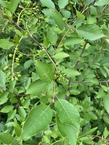
Wyoming's zones 3b-6a support a wide range — strong performers include Potato, Indian Paintbrush, Cottonwood, Rhubarb, and Chokecherry. What actually takes on any one site comes down to its soil, sun, and drainage, and we score each plant against the real conditions at your address.

Which hardiness zone is Wyoming, really?

Officially, Wyoming spans USDA zones 3b-6a (USDA PHZM 2023) — but a zone is a 30-year average of winter's coldest night across an area, and it can't see any one yard. A south-facing slope, a tree line, or a low frost pocket can shift a single site by half a zone either way, which is why neighboring gardeners often quote different numbers. We read the conditions at your exact address — soil, sun, slope, and frost — and score 1,086 plants against what's actually there.

Is the soil safe to grow vegetables in Wyoming?

The federal record across Wyoming runs heavier than most — 10,910 documented sites, mostly Nitrate entries (4,750) — so test the soil before planting food in the ground, and raised beds with clean imported soil grow well in the meantime. Even here, proximity to a documented site is information, not a diagnosis of any one yard; the contamination map shows exactly what's recorded and where.

Just moved to Wyoming — what should I know before planting?

Start with three facts. Wyoming spans USDA zones 3b-6a, which sets what survives winter; last hard freezes range from about May 4 to May 13 across its counties (NOAA 1991–2020 climate normals); and 10,910 documented sites sit on the federal record here, so a soil test before food beds is the smart first step. From there, matching plants to your actual soil and sun is the fun part.


Everything above is measured at Wyoming's scale — its 3b-6a band and its 151-day season. Your yard writes its own version of Wyoming's numbers: we read soil, sun, drainage and frost at your exact address. Try it for 14 days — no card required.

What this page reads at Wyoming’s own scale

6 of the readings below were taken at Wyoming's own scale — the full zone 3b-6a span inside its borders, the 4 soil types that dominate its ground and 10,910 documented sites on its federal record; anything it cannot resolve at this scale is named below.

Measured here

  • The full span of USDA hardiness zones 3b-6a inside Wyoming's bordersUSDA PHZM 2023
  • A statewide 28°F hard-freeze window — the middle half of counties run roughly May 4 - May 13 to Sep 30 - Oct 7NOAA Regional Climate Centers ACIS, 1991-2020
  • 6-20 inches of annual rainfall across the stateNOAA Climate Normals
  • A statewide median of about 1,866 growing-degree days and about 2,500 winter chill hours, aggregated county by countyPRISM 1991–2020 normals
  • The 4 soil types that dominate Wyoming's groundUSDA NRCS SSURGO
  • 10,910 documented contamination sites on the state's federal recordFederal environmental registers

What this page can’t tell you

  • Which single zone your own corner of Wyoming sits in — zones 3b-6a is the full span across all 23 counties, not a reading anywhere in particularcounty guides
  • When YOUR last frost actually lands — each of the 23 counties below carries its own normal, days to weeks off the statewide windowfrost dates explained
  • The soil pH, drainage, sun hours, and frost pockets on one specific lotwhy one lot differs from the next
Narrow it down: 23 counties in Wyoming

Cities & Towns in Wyoming

Explore growing conditions by city or town in Wyoming.

AftonAlbanyAlbinAlcovaAlpineAlpine NortheastAlpine NorthwestAltaAntelope HillsArapahoeArlingtonArrowhead SpringsArvadaAtlantic CityAuburnBaggsBairoilBar NunnBasinBear RiverBedfordBessemer BendBeulahBig HornBig PineyBondurantBoulderBoulder FlatsBrookhurstBuffaloBurlingtonBurnsByronCarpenterCarterCasperCasper MountainCentennialCheyenneChugcreekChugwaterClearmontClearview AcresCodyCokevilleCoraCowleyCrowheartDanielDaytonDeaverDiamondvilleDixonDouglasDuboisEast ThermopolisEdenEdgertonEl RanchoElk MountainEncampmentEsterbrookEtheteEtnaEvanstonEvansvilleFairviewFarsonFontenelleFort BridgerFort LaramieFort WashakieFox Farm-CollegeFox ParkFrannieFreedomGarlandGilletteGlendoGlenrockGrangerGreen RiverGreybullGroverGuernseyHannaHartrandtHartvilleHawk SpringsHill View HeightsHillsdaleHobackHoma HillsHudsonHulettHuntleyHyattvilleJacksonJames TownJeffrey CityJohnstownKayceeKellyKemmererKirbyLa BargeLaGrangeLakeview NorthLance CreekLanderLaramieLingleLittle AmericaLonetreeLovellLucerneLuskLymanMammothMandersonManvilleMarbletonMcKinnonMeadow AcresMedicine BowMeeteetseMidwestMillsMoorcroftMoose Wilson RoadMountain ViewMountain ViewNewcastleNordicNorth Rock SpringsOakleyOpalOrinOsageOsmondOwl CreekParkmanPavillionPine BluffsPine HavenPinedalePoint of RocksPowder HornPowder RiverPowellPurple SageRafter J RanchRalstonRanchesterRanchettesRawlinsRed ButteRelianceRiversideRivertonRobertsonRock RiverRock SpringsRolling HillsRyan ParkSaratogaShellSheridanShoshoniSinclairSlaterSleepy HollowSmootSouth GreeleySouth ParkStar Valley RanchStorySundanceSuperiorTable RockTaylorTen SleepTeton VillageThayneThermopolisTorringtonTurnervilleUptonUrieVan TassellVeteranVista WestWamsutterWarren AFBWashamWestview CircleWheatlandWhitingWilsonWoods Landing-JelmWorlandWrightY-O RanchYoder

States with a Similar Growing Climate

Wyoming shares its dominant growing region with these states — a useful comparison if you're weighing where a crop will behave the same way.