What Grows in Virginia

USDA Zones 5b-8b · 36-50 inches annual rainfall

Virginia spans USDA hardiness zones 5b-8b, with a growing season of about 224 frost-free days — time enough for slow-finishing crops, second sowings, and a genuine fall garden.

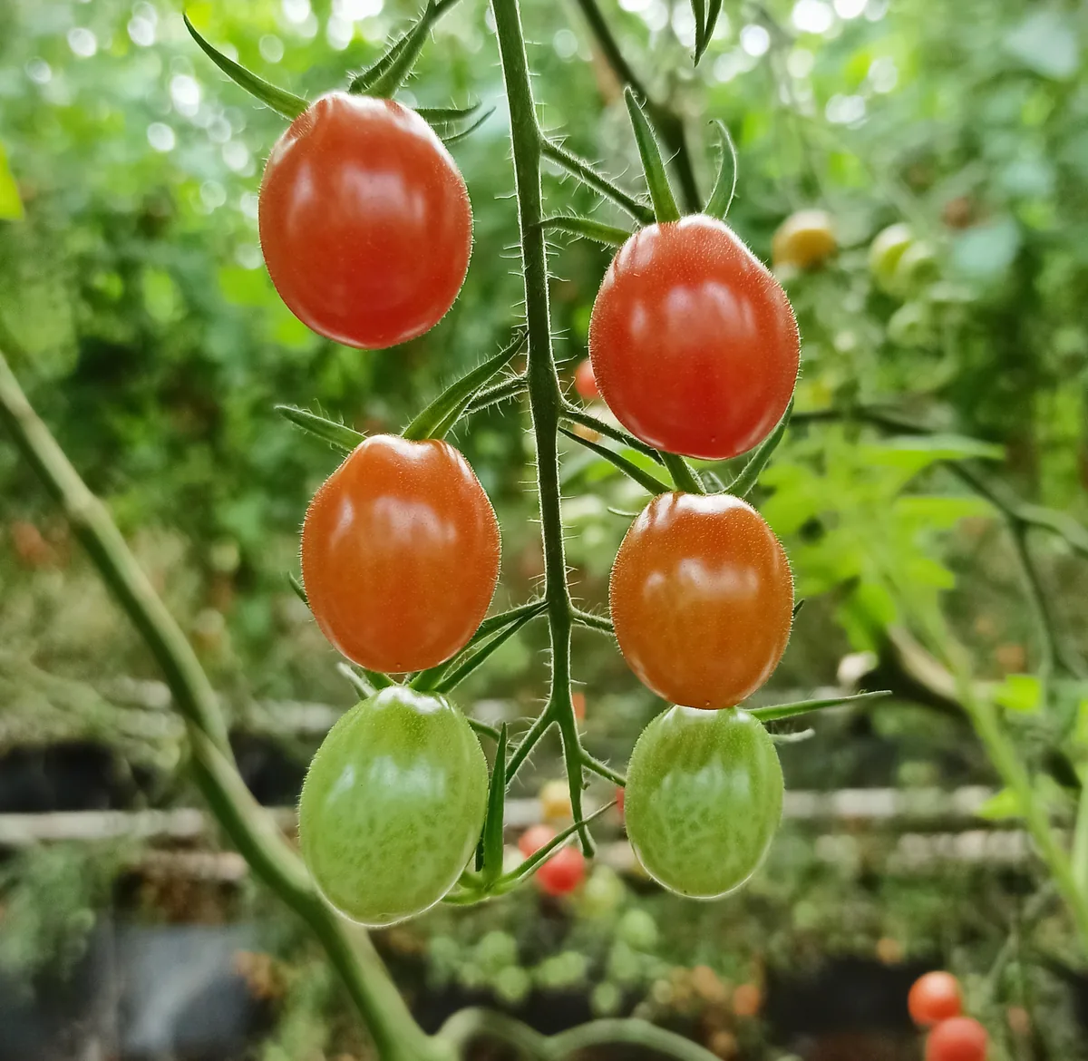
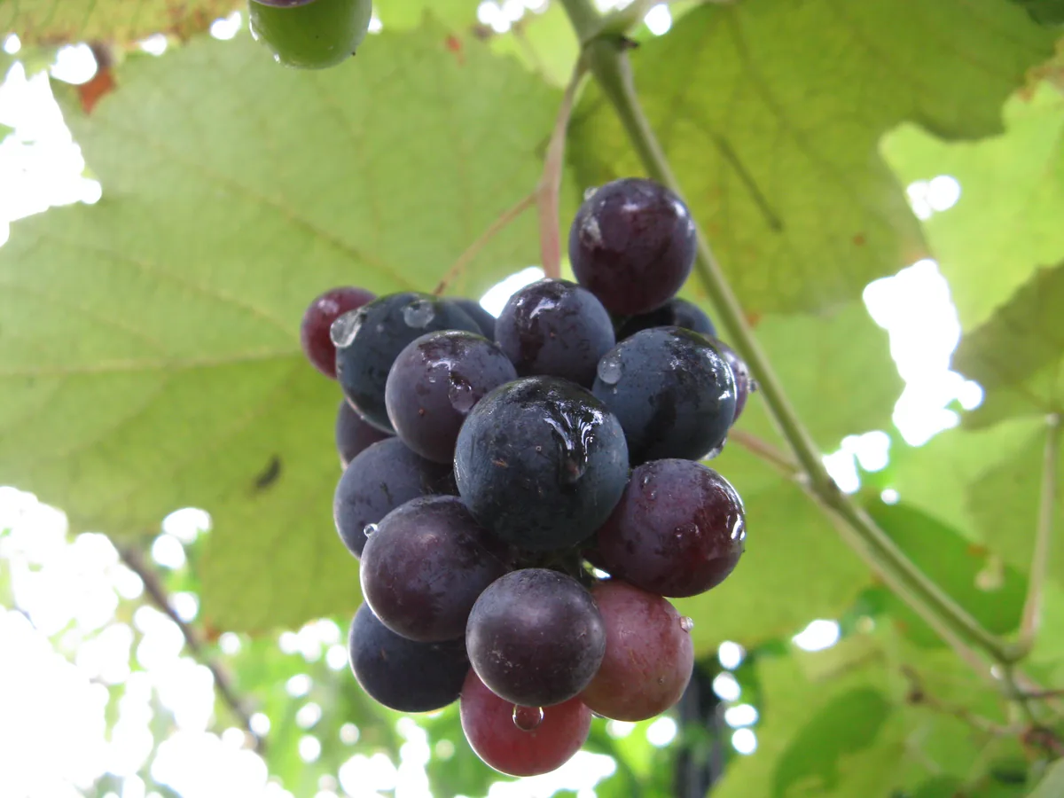
Taken together, 36-50 inches of annual rainfall, a median of roughly 3,662 growing-degree days (base 50°F), and about 2,477 winter chill hours for tree fruit draw the line between what thrives here and what merely survives. The dominant soils run to red clay (Piedmont), silt loam, sandy loam (Tidewater), and mountain loam, and their drainage is one of the strongest predictors of which crops take hold and which falter. Virginia splits into distinct growing country: Appalachia, Piedmont, and Tidewater & Chesapeake, each keeping its own frost calendar. Expect tomato, grape, peanut, and dogwood to be strong candidates here; the deciding factors on any one parcel stay local — soil, sun, and drainage.

Grounded inUSDA PHZMNOAA Climate NormalsUSDA NRCS SSURGOGDD (PRISM 1991-2020 normals)Chill hours (PRISM 1991-2020 normals)USDA hardiness sub-region mapEPA FRSUSDA PLANTSGrowable Ground suitability scoring

Score your parcel · free

Your yard isn't the whole state.

Virginia spans zones 5b-8b, but your yard sits in exactly one — and slope, tree cover, and low spots nudge it further. Enter your address and we'll score 1,086 plants against your land's actual soil, sun, and frost.

We read public map data around Virginia — soil, climate, flood, and parcel records. How we handle your address.

No card required · your full report in seconds

Notable Growing Regions in Virginia

Distinct growing regions within Virginia — each has its own zones, soils, and signature crops.

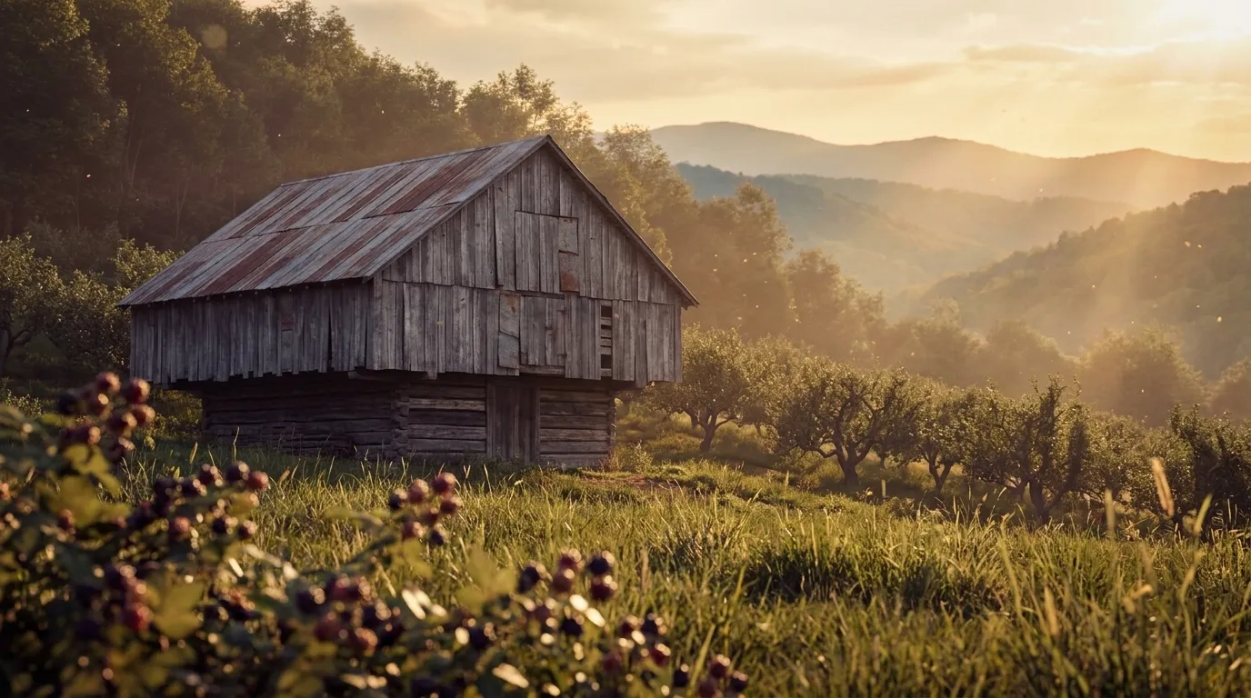
Illustrated landscape of Appalachia
Appalachiaalso spans Alabama, Georgia & 9 moreThe vast eastern mountain region of steep hollows, thin acidic soils, and short upland seasons — apples, brambles, ramps, and forest crops on hard-won ground. (Union of the core Appalachian ecoregions.)
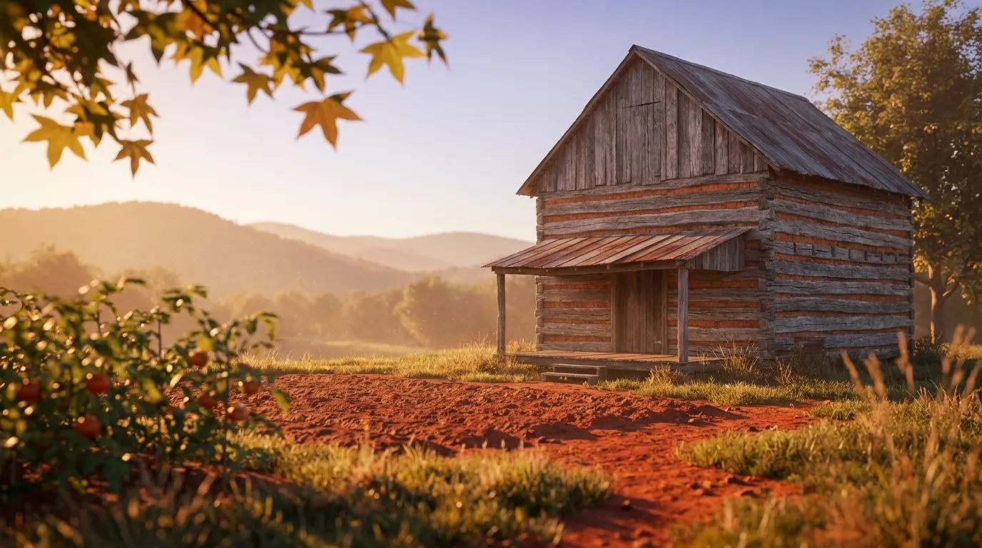
Illustrated landscape of Piedmont
Piedmontalso spans Alabama, Georgia & 2 moreThe rolling foothill belt between the Appalachians and the coastal plain, defined by heavy red clay soils that reward amendment and drainage. (Southern Piedmont; the Northern Piedmont is a separate ecoregion.)
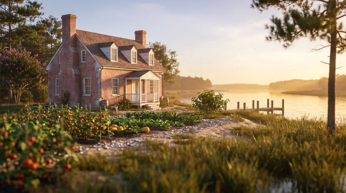
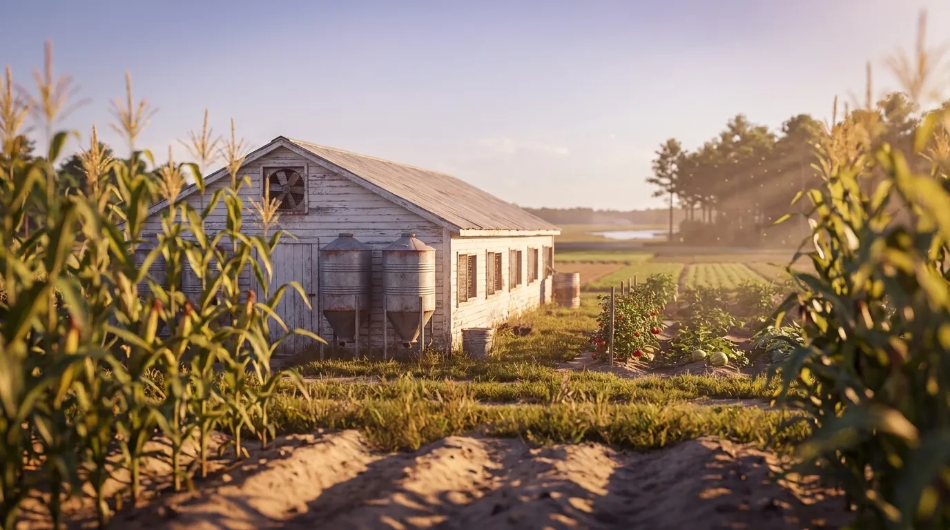
Illustrated landscape of Tidewater & Chesapeake
Tidewater & Chesapeakealso spans Delaware, Maryland & 2 moreThe low, flat, tidal coastal plain around Chesapeake Bay — sandy soils, mild maritime winters, and a long season for vegetables and Southern staples.
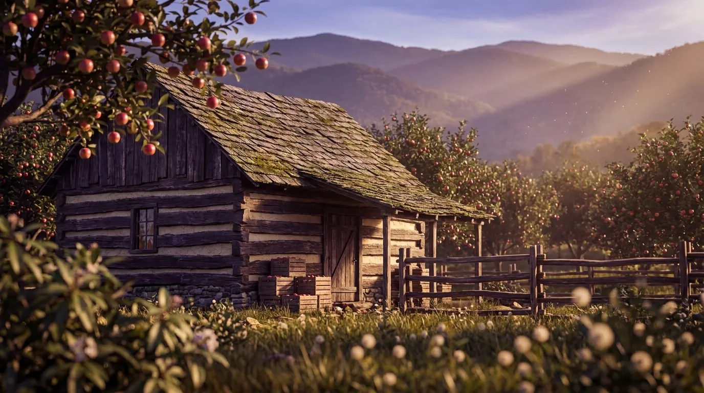
Illustrated landscape of Blue Ridge
Blue Ridgealso spans Georgia, North Carolina & 1 moreThe high, cool, forested spine of the southern Appalachians — layered ridges, acidic mountain loams, and a short upland season suited to apples and cold-hardy crops.
Illustrated landscape of Delmarva Peninsula
Delmarva Peninsulaalso spans Delaware & MarylandA flat coastal-plain peninsula of sandy, well-drained soils between the Chesapeake and the Atlantic — a major sweet-corn, soybean, and produce region.
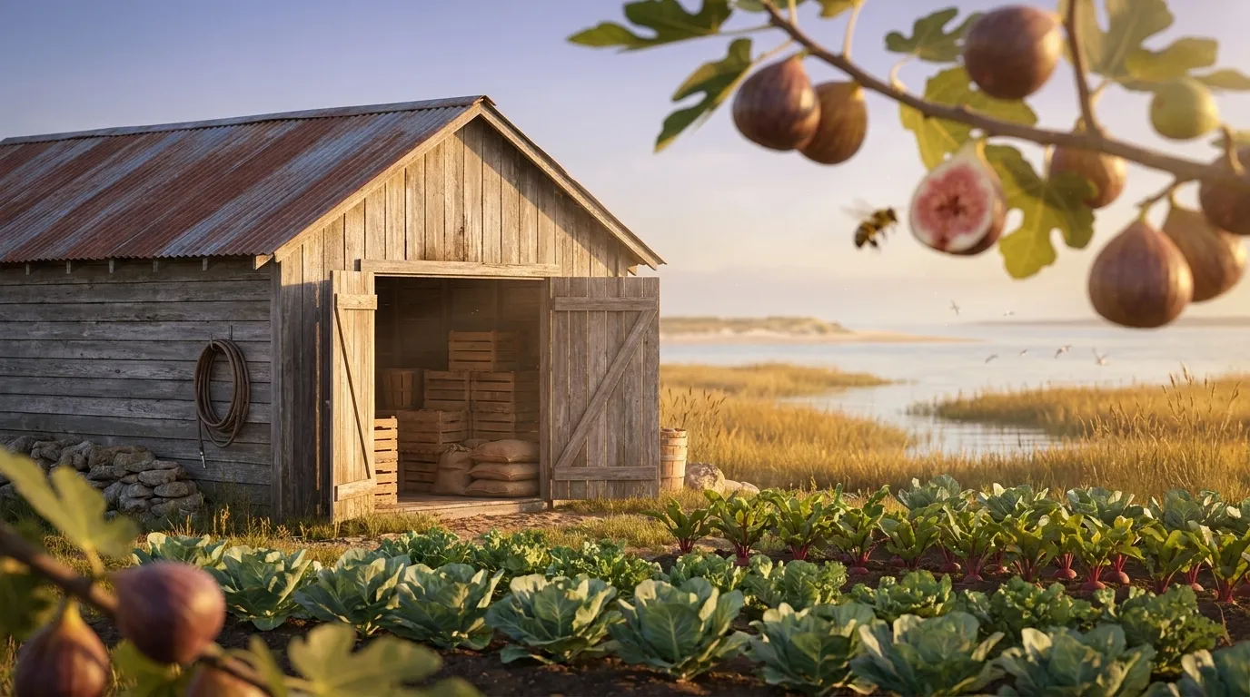
Illustrated landscape of Hampton Roads / Coastal Southeast Virginia
Hampton Roads / Coastal Southeast VirginiaThe only USDA zone 8b band in Virginia. Atlantic and Chesapeake Bay maritime moderation plus dense urban heat give the waterfront cities of Hampton Roads the state's warmest winters and longest season — roughly 276 to 289 frost-free days on the water (Hampton runs 289), about 60 days longer than the inland coastal plain and over 100 days longer than the mountains. Growers here overwinter hardy greens and roots, and figs and other tender perennials that fail elsewhere in Virginia routinely survive. Inland edges of the metro — Chesapeake, Suffolk, Isle of Wight, Newport News — cool to 8a, so the frost-free window shortens as you move off the tidal shoreline.
Explore 4 more growing regions

Virginia — the short answer

Virginia: USDA zones 5b-8b, 176–289 frost-free days depending on the county, 133 counties.

USDA zones
5b-8b
USDA PHZM 2023
Last hard freeze (28°F)
Mar 22 - Apr 2
NOAA Regional Climate Centers ACIS, 1991-2020
First hard freeze (28°F)
Nov 2 - Nov 17
NOAA Regional Climate Centers ACIS, 1991-2020
Shortest county season
176 days
NOAA Regional Climate Centers ACIS, 1991-2020, county 28°F killing freeze — Highland County
Annual rainfall
36-50 inches
NOAA Climate Normals
Counties
133
US Census TIGER/Line 2025

The middle half of this state’s counties. Tender transplants usually wait 2–3 weeks past the last hard freeze. The shortest-season figure is Virginia's own county record — Highland County's measured 28°F normal, not a modeled floor.

Notable frost exceptions

Virginia does not have one growing season. Across the 681 of its 685 towns that carry their own 30-year record, the shortest measured season is Monterey's at 176 days and the longest is Norfolk's at 287 — an 111-day spread inside one state.

Neither end is a lone reading — another 2 towns measure within 10 days of Monterey and 2 sit within 10 days of Norfolk. These are real pockets, so the number to plant against is your own town's, not the state average.

NOAA Regional Climate Centers ACIS (1991–2020), 30-year daily minimum record

Zone 5b-8b is Virginia's average, not your lot's — a low corner or a tree line moves it. Against Virginia's 224-day season, see what your own ground reads.

Virginia is not one growing season

One answer for Virginia averages 133 counties whose growing seasons are 113 days apart — from 176 frost-free days in Highland County to 289 in Hampton city. That is the same state, measured the same way, in the same years. Which end of it your county sits nearer decides what finishes before the first hard freeze.

176 daysHighland County289 daysHampton city

The middle half of 133 counties runs 214240 days, with a median of 224 days — a 113-day span end to end.

Measured across 133 counties, each carrying its own 28°F normal. NOAA Regional Climate Centers ACIS, 1991-2020, county 28°F killing freeze. A county with no record of its own is absent from the range rather than counted as zero — nothing here is interpolated to the state. Your own site sits somewhere inside this range; a parcel report resolves where.

Where the line runs inside Virginia

The middle half of Virginia runs 214240 frost-free days, and 64 of its 133 counties sit outside that — 32 on the short side, 32 on the long. A statewide planting date describes the middle well and the ends poorly, which is worth knowing before you follow one.

Under 214 frost-free days

32 counties

3 of 32 shown

The end of the state that sets the planting calendar — start seed indoors here and the season stretches to meet the crop.

214–240 frost-free days

69 counties

0 of 69 shown

The middle half of the state, and the part a single statewide date describes well.

Over 240 frost-free days

32 counties

3 of 32 shown

Long enough for a second succession of a quick crop after the first comes out.

Each county is placed by its own 28°F frost-free normal (NOAA Regional Climate Centers ACIS, 1991-2020, county 28°F killing freeze), the same figure its own guide page publishes. Elevation, slope and cold-air drainage move a yard within its county as well — which is the part only your address resolves.

The Ground You’re Working With

The soil types that dominate Virginia — how each drains decides more about crop success than almost anything else. Tap any soil to learn what it is and how to work with it. Each photo is a representative profile of that soil type; the named series is where it was documented, which is often another state.

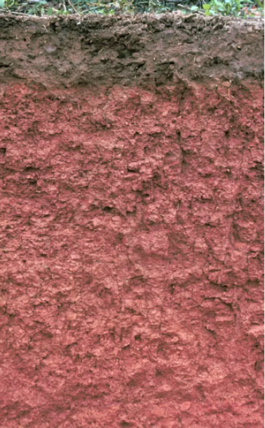
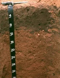
Cecil soil profile: brick-red Piedmont clay subsoil under a thin brown surface layer
Representative Red clay (Piedmont)Soil profile: Cecil series, North Carolina

Red clay (Piedmont)

  • Drainage

    Slow. Red clay seals under pounding rain and sheds water across the surface, then holds tight to what soaks in.

  • What thrives

    Okra, southern peas, sweet potatoes, and muscadines are traditional red-clay performers, and many fruit trees root deep into it once through the first year. Azaleas and blueberries appreciate its typical acidity.

How to work with Red clay (Piedmont)
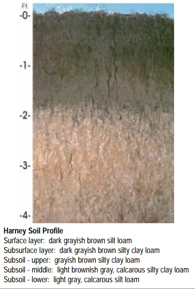
Harney soil profile: deep loessal silt loam with a dark grayish-brown surface
Representative Silt loamSoil profile: Harney series, Kansas

Silt loam

  • Drainage

    Moderate. Silt holds water well and releases it steadily, though the fine particles can crust after hard rain and compact under traffic.

  • What thrives

    The full vegetable garden does well here, and small grains, corn, and leafy greens are classic silt-loam crops. Its steady moisture suits shallow-rooted plants that dislike drought stress.

How to work with Silt loam
Downer soil profile: reddish sandy loam horizon with a depth scale
Representative Sandy loam (Tidewater)Soil profile: Downer series, New Jersey

Sandy loam (Tidewater)

  • Drainage

    Fast. The sand fraction opens the soil up, so water moves through the root zone quickly and the surface rarely stays soggy. The trade is that nutrients ride out with the water.

  • What thrives

    Root crops love it — carrots, potatoes, radishes, and onions size up cleanly in ground they can push through. Melons, sweet potatoes, asparagus, and most herbs appreciate the warmth and the drainage.

How to work with Sandy loam (Tidewater)

Loam formed on mountain slopes and valleys — usually shallower than lowland soils, mixed with rock weathered from the peaks above, and highly variable from one bench to the next.

Mountain loam

  • Drainage

    Usually good to fast, because slopes shed water and the rock fraction keeps the profile open. South-facing ground dries markedly faster than north-facing.

  • What thrives

    Cool-season vegetables, berries, and hardy perennials suited to the elevation. Short seasons matter more than the soil here — choose varieties bred for quick maturity.

How to work with Mountain loam

Soil data: USDA NRCS SSURGO · Soil types explained

Top 5 Plants for Virginia

Plants well-suited to Virginia's climate, soils, and growing season — each links to its full growing profile.

Is it too late to plant in Virginia?

Too late for some crops, right on time for others — a growing season is a sequence, not a deadline. Across Virginia, cool-season planting typically opens about four weeks before the local last hard freeze — county medians put that freeze near Mar 28, with the middle half of counties between Mar 22 and Apr 2 (NOAA 1991–2020 climate normals). Tender transplants wait two to three weeks past it, and fall planting counts back from first freezes mostly between Nov 2 and Nov 17 — long-season crops need about 90 days of runway, quick greens only 30. Here the season winds down slowly: late sowings, a real autumn harvest, and garlic in the ground before the first hard freeze.

State Symbols of Virginia

The plants Virginia put its name on — cultural emblems, not growing recommendations.

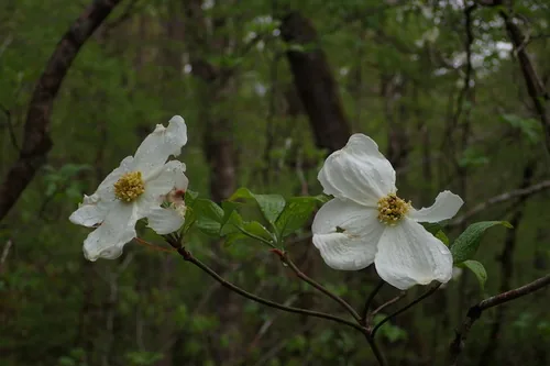
American dogwood, photograph
Official state flower

American dogwood

Cornus florida

Designated 1918. In our plant library — see its full growing profile.

Flowering dogwood, photograph
Official state tree

Flowering dogwood

Cornus florida

Designated 1956. In our plant library — see its full growing profile.

Native Plants of Virginia

Plants the USDA PLANTS Database documents as native and present in Virginia — a real per-state range, not just a zone match. Ordered by how closely each plant’s published hardiness range matches Virginia’s zones 5b-8b, so this is a shortlist by climate fit, not a ranking of which plants matter most here. Presence is statewide, so a plant may still be uncommon in your specific county; your state’s Cooperative Extension or a native-plant society is the local authority.

Also zone-compatible

US-native plants whose hardiness range overlaps Virginia’s USDA zones 5b-8b but which USDA PLANTS doesn’t map to a single state range here. Zone overlap is a starting filter, not a range map.

Browse all US-native plants by state & zone →

Growing Challenges in Virginia

What an experienced grower plans around here — each one has a move.

Heavy Piedmont red clay requires amendment

Red clay turns from obstacle to asset with compost and time — and a raised bed lets you harvest while it happens.

Humidity and heat in summer promote disease

Space for airflow, water mornings at the base, and plant resistant varieties — your extension's humid-summer playbook.

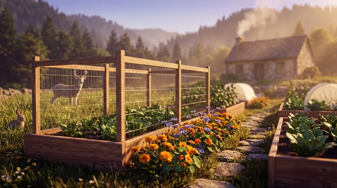
Deer pressure is heavy in suburban and rural areas

A proper fence settles it; outside the fence, genuinely deer-resistant plants are the next best defense.

For cultivar selection, pest pressure, and planting-time guidance specific to Virginia, the Virginia Cooperative Extension is the authoritative local source.

Safe to Grow Here?

What the federal record shows across Virginia — and how to grow with it.

Federal record: High

We checked the federal record across Virginia37,636 documented sites across 8 of the 9 source types we track.

The most significant on record: 164 Superfund sites. Sites tracked in EPA's Superfund program — from assessment-stage CERCLIS entries to confirmed National Priorities List cleanup sites.

Virginia carries one of the heavier federal records we track — and that's not a verdict on your yard. Proximity to a documented site is information, not a diagnosis: nothing here says any particular parcel is affected. It does earn one concrete step — before food beds go in the ground, a professional soil test tells you exactly what you're working with, and raised beds with clean imported soil grow well almost anywhere in the meantime.

Severity Distribution

across Virginia

High226Moderate9,206Low28,204

Highest-Severity Sites

Abex Corp.
Superfund · Superfund NPL
Acquinton/Hamilton Holmes
PFAS Sampling · PFAS Detected
Altavista, Town of
PFAS Sampling · PFAS Detected
Arlington County
PFAS Sampling · PFAS Detected

A note from Gnorman

What an experienced grower watches for around here

In and around Virginia, Underground Storage Tanks runs higher than the national average — 24,515 sites across Virginia. That's not a problem with your land — it's information about it.

Underground Storage Tanks: Underground storage tanks are the single most common source of soil contamination near homes and gardens.

Use raised beds with imported soil — this eliminates the primary soil-contact pathway.

Sources: EPA, USGS1.8M documented sites tracked nationwide across 9 federal source types.

Your land is one point inside Virginia

Everything above resolves to Virginia as a whole — a state whose own counties record seasons 113 days apart, and hardiness across zones 5b-8b. Your parcel sits at one point in that range, not in the middle of it. Slope, tree cover, a low spot that pools cold air, and what is in the soil are all resolved at the address, and none of them are visible at state scale. That is the honest boundary of this page, and the reason the next step is a reading of your own ground rather than a better statewide average.

See what grows on YOUR specific land

State averages sketch the shape. Your soil, sun exposure, drainage, and microclimate decide what actually takes. Pull a site-specific report for your exact parcel.

Free Report

Read your Virginia parcel

Enter your address. We read your soil, sun, drainage, and frost dates, then score 1,086 plants against the real conditions on your land.

Three things about your lot that Virginia averages can't show:

Your soil pHYour frost-free days — Virginia averages 224Your sun & shade

We read public map data around Virginia — soil, climate, flood, and parcel records. How we handle your address.

25+ data sources read at your address, not the Virginia average

How we know this about Virginia

The datasets: hardiness from the USDA ARS Plant Hardiness Zone Map 2023, read per county and aggregated to the state band; the growing season from NOAA Regional Climate Centers ACIS 1991–2020 28°F normals, read at each county’s own record; rainfall from NOAA Climate Normals; soils from USDA NRCS SSURGO; boundaries from US Census TIGER/Line 2025; the contamination record from the federal sources named in that beat above. Where a county carries no record of its own, it is absent from the figure rather than filled in.

Common questions about Virginia

What USDA hardiness zones are in Virginia?

Virginia spans USDA hardiness zones 5b-8b — which is to say winter's coldest night runs from about −15°F to 20°F depending where in Virginia you are, averaged over 1991–2020 (USDA PHZM 2023).

Is it too late to plant in Virginia?

Too late for some crops, right on time for others — a growing season is a sequence, not a deadline. Across Virginia, cool-season planting typically opens about four weeks before the local last hard freeze — county medians put that freeze near Mar 28, with the middle half of counties between Mar 22 and Apr 2 (NOAA 1991–2020 climate normals). Tender transplants wait two to three weeks past it, and fall planting counts back from first freezes mostly between Nov 2 and Nov 17 — long-season crops need about 90 days of runway, quick greens only 30. Here the season winds down slowly: late sowings, a real autumn harvest, and garlic in the ground before the first hard freeze.

When does frost risk typically end in Virginia?

Across Virginia, the middle half of counties see their last hard freeze (28°F) between about Mar 22 and Apr 2, with a county median near Mar 28 (NOAA 1991–2020 climate normals). That marks the hard freeze, not the last light frost — lighter frosts keep biting past it, which is why tender transplants here wait until about Apr 18.

How long is the growing season in Virginia?

Measured between 28°F hard freezes, growing seasons across Virginia's counties mostly run about 214 to 240 days, with a county median near 224 (NOAA 1991–2020 climate normals). Tender crops get a somewhat shorter practical window, since lighter frosts reach a few weeks past the hard-freeze dates on both ends.

What vegetables grow well in Virginia?

Virginia's zones 5b-8b support a wide range — strong performers include Tomato, Grape, Peanut, Dogwood, and Apple. What actually takes on any one site comes down to its soil, sun, and drainage, and we score each plant against the real conditions at your address.

Which hardiness zone is Virginia, really?

Officially, Virginia spans USDA zones 5b-8b (USDA PHZM 2023) — but a zone is a 30-year average of winter's coldest night across an area, and it can't see any one yard. A south-facing slope, a tree line, or a low frost pocket can shift a single site by half a zone either way, which is why neighboring gardeners often quote different numbers. We read the conditions at your exact address — soil, sun, slope, and frost — and score 1,086 plants against what's actually there.

Is the soil safe to grow vegetables in Virginia?

The federal record across Virginia runs heavier than most — 37,636 documented sites, mostly Underground Storage Tanks entries (24,515) — so test the soil before planting food in the ground, and raised beds with clean imported soil grow well in the meantime. Even here, proximity to a documented site is information, not a diagnosis of any one yard; the contamination map shows exactly what's recorded and where.

Just moved to Virginia — what should I know before planting?

Start with three facts. Virginia spans USDA zones 5b-8b, which sets what survives winter; last hard freezes range from about Mar 22 to Apr 2 across its counties (NOAA 1991–2020 climate normals); and 37,636 documented sites sit on the federal record here, so a soil test before food beds is the smart first step. From there, matching plants to your actual soil and sun is the fun part.


Everything above is measured at Virginia's scale — its 5b-8b band and its 224-day season. Your yard writes its own version of Virginia's numbers: we read soil, sun, drainage and frost at your exact address. Try it for 14 days — no card required.

What this page reads at Virginia’s own scale

6 of the readings below were taken at Virginia's own scale — the full zone 5b-8b span inside its borders, the 4 soil types that dominate its ground and 37,636 documented sites on its federal record; anything it cannot resolve at this scale is named below.

Measured here

  • The full span of USDA hardiness zones 5b-8b inside Virginia's bordersUSDA PHZM 2023
  • A statewide 28°F hard-freeze window — the middle half of counties run roughly Mar 22 - Apr 2 to Nov 2 - Nov 17NOAA Regional Climate Centers ACIS, 1991-2020
  • 36-50 inches of annual rainfall across the stateNOAA Climate Normals
  • A statewide median of about 3,662 growing-degree days and about 2,477 winter chill hours, aggregated county by countyPRISM 1991–2020 normals
  • The 4 soil types that dominate Virginia's groundUSDA NRCS SSURGO
  • 37,636 documented contamination sites on the state's federal recordFederal environmental registers

What this page can’t tell you

  • Which single zone your own corner of Virginia sits in — zones 5b-8b is the full span across all 133 counties, not a reading anywhere in particularcounty guides
  • When YOUR last frost actually lands — each of the 133 counties below carries its own normal, days to weeks off the statewide windowfrost dates explained
  • The soil pH, drainage, sun hours, and frost pockets on one specific lotwhy one lot differs from the next
Narrow it down: 133 counties in Virginia

Cities & Towns in Virginia

Explore growing conditions by city or town in Virginia.

Abbs ValleyAbingdonAccomacAdwolfAftonAlbertaAldieAlexandriaAllison GapAllisoniaAlonzavilleAltavistaAmelia Court HouseAmherstAmonateAnnandaleAppalachiaApple Mountain LakeAppomattoxAquia HarbourArcolaArlingtonArringtonAshburnAshlandAtkinsAtlanticAugusta SpringsAustinvilleBailey's CrossroadsBarboursvilleBaskervilleBassettBastianBasyeBaysideBaywoodBealetonBedfordBelle HavenBelle HavenBellwoodBelmontBelmont EstatesBelspringBelviewBenns ChurchBensleyBerryvilleBethel ManorBig IslandBig RockBig Stone GapBig Stone Gap EastBlacksburgBlackstoneBlairsBlandBloxomBlue RidgeBlue Ridge ShoresBluefieldBobtownBoissevainBon AirBoones MillBostonBoswell's CornerBowling GreenBowmans CrossingBoyceBoydtonBoykinsBraceyBraddockBrambletonBranchvilleBrandermillBrandy StationBreaksBridgewaterBrightwoodBristolBroadlandsBroadwayBrodnaxBrooknealBrucetownBuchananBuckhallBuckingham CourthouseBuena VistaBull RunBull RunBull Run Mountain EstatesBurkeBurke CentreBurkevilleCallaghanCalvertonCamp BarrettCamptownCanaCape CharlesCapronCaptains CoveCarrolltonCarrsvilleCascadesCastlewoodCatlettCats BridgeCave SpringCedar BluffCentral GarageCentrevilleChamberlayneChantillyCharles CityCharlotte Court HouseCharlottesvilleChase CityChase CrossingChathamChatmossCheritonCherry HillChesapeakeChesterChester GapChilhowieChincoteagueChristiansburgChurchvilleClaremontClarksvilleClaryClaypool HillClevelandCliftonClifton ForgeCliftondale ParkClinchcoClinchportClintwoodCloverCloverdaleCluster SpringsCoeburnCollinsvilleColonial BeachColonial HeightsColumbiaColumbia FurnaceConcordConicvilleCountrysideCounty CenterCourtlandCovingtonCraigsvilleCreweCrimoraCrosspointeCrozetCulpeperCumberlandDahlgrenDahlgren CenterDale CityDalevilleDamascusDanteDanvilleDaytonDeep CreekDeerfieldDeltavilleDendronDifficult RunDillwynDinwiddieDisputantaDoomsDrakes BranchDranesvilleDraperDrydenDublinDuffieldDulles Town CenterDumbartonDumfriesDungannonDunn LoringEagle RockEarlysvilleEast Highland ParkEast LexingtonEast Stone GapEastvilleEbonyEdinburgEgglestonElktonEllistonEmoryEmporiaEnonEsmontEttrickEwingExmoreFair LakesFair OaksFairfaxFairfax StationFairfieldFairlawnFairviewFairview BeachFalls ChurchFalls MillsFalmouthFancy GapFarmvilleFerrumFieldaleFincastleFishers HillFishersvilleFlint HillFlorisFloydForestForestvilleFort BelvoirFort ChiswellFort HuntFort LeeFranconiaFranklinFranklin FarmFranktownFredericksburgFree UnionFriesFront RoyalGainesvilleGalaxGargathaGasburgGate CityGeorge MasonGlade SpringGlasgowGlen AllenGlen LynGlen WiltonGlenvarGloucester CourthouseGloucester PointGoochlandGoose Creek VillageGordonsvilleGoreGoshenGrattonGreat FallsGreat Falls CrossingGreenbackvilleGreenbriarGreenbushGreenvilleGretnaGrottoesGrovetonGrundyGwynnHalifaxHallwoodHamiltonHampden-SydneyHamptonHanoverHarbortonHarrisonburgHarristonHayfieldHaymarketHaysiHeathsvilleHenry ForkHerndonHighland SpringsHillsboroHillsvilleHilltownHiltonsHiwasseeHollinsHollymeadHonakerHopewellHorntownHorse PastureHot SpringsHudson CrossroadsHuntingtonHurtHutchisonHybla ValleyIdylwoodIndependenceIndependent HillInnovationInnsbrookIron GateIrvingtonIvanhoeIvorIvyJarrattJewell RidgeJolivueJonesvilleKeezletownKellerKenbridgeKeokeeKeswickKeysvilleKilmarnockKincoraKing GeorgeKing WilliamKing and Queen Court HouseKings ParkKings Park WestKingstowneLa CrosseLafayetteLake BarcroftLake CarolineLake HolidayLake Land'OrLake MonticelloLake RidgeLake WildernessLake of the WoodsLakesideLancasterLansdowneLaurelLaurel HillLaurel ParkLawrencevilleLaymantownLebanonLebanon ChurchLee MontLeesburgLeesylvaniaLexingtonLincolniaLinton HallLinvilleLoch LomondLocust GroveLocust MountLong BranchLortonLoudoun Valley EstatesLouisaLovettsvilleLovingstonLow MoorLowes IslandLunenburgLurayLynchburgLyndhurstMadisonMadison HeightsMakemie ParkMallowManassasManassas ParkManchesterMantuaMappsburgMappsvilleMarionMarshallMartinsvilleMason NeckMassanetta SpringsMassanuttenMathewsMatoacaMaurertownMax MeadowsMcDowellMcGaheysvilleMcKenneyMcLeanMcMullinMcNairMeadowbrookMeadows of DanMeadowviewMechanicsburgMechanicsvilleMelfaMendotaMerrifieldMerrimacMetompkinMiddlebrookMiddleburgMiddletownMidlandMidlothianMillboroMineralModest TownMonetaMontclairMontereyMontroseMontrossMontvaleMoorefieldMotleyMount CliftonMount CrawfordMount HermonMount JacksonMount OliveMount SidneyMount VernonMountain RoadNarrowsNassawadoxNathalieNavyNellysfordNelsoniaNew BaltimoreNew CastleNew ChurchNew HopeNew KentNew MarketNew RiverNewingtonNewington ForestNewport NewsNewsomsNickelsvilleNokesvilleNorfolkNorth GardenNorth ShoreNorth SpringfieldNortonNottoway Court HouseOak GroveOak HallOak LevelOaktonOccoquanOnancockOne LoudounOnleyOpalOrangeOrkney SpringsOsakaPainterPalmyraPamplin CityPantopsParisParksleyParrottPassapatanzyPastoriaPatrick SpringsPearisburgPembrokePenhookPennington GapPetersburgPhenixPimmit HillsPiney MountainPlum CreekPocahontasPoquosonPort RepublicPort RoyalPortsmouthPotomac MillsPoundPounding MillPowhatanPrices ForkPrince GeorgePulaskiPungoteaguePurcellvilleQuantico BaseQuicksburgQuinbyRadfordRavenRavensworthRectortownRemingtonRestonRhoadesvilleRich CreekRichlandsRichmondRidgewayRinerRioRipplemeadRivannaRiverdaleRiverviewRoanokeRockwoodRocky GapRocky MountRose HillRose HillRound HillRuckersvilleRural RetreatRushmereRustburgSalemSaltvilleSaludaSandstonSandy LevelSanfordSaumsvilleSavage TownSavagevilleSaxisSchooner BaySchuylerScotlandScottsburgScottsvilleSedleySelmaSeven CornersSeven Mile FordShawneelandShawsvilleShenandoahShenandoah FarmsShenandoah RetreatShenandoah ShoresSherandoShipmanShort PumpSingers GlenSkyland EstatesSmithfieldSnowvilleSouth BostonSouth HillSouth RidingSouth RunSouthampton MeadowsSouthern GatewaySouthside ChesconessexSperryvilleSpotsylvania CourthouseSpringfieldSpringvilleSt. CharlesSt. PaulStafford CourthouseStanardsvilleStanleyStanleytownStauntonStephens CitySterlingStevens CreekStewartsvilleStickleyvilleStone RidgeStonegaStony CreekStrasburgStuartStuarts DraftSudleySuffolkSugar GroveSugarland RunSully SquareSurrySussexTacomaTangierTappahannockTasleyTazewellTemperancevilleTempletonThe PlainsThe University of Virginia's College at WiseThynedaleTimberlakeTimbervilleToms BrookTriangleTroutdaleTroutvilleTuckahoeTwin LakesTysonsUnion HallUnion LevelUnion MillUnionvilleUniversity CenterUniversity of VirginiaUppervilleUrbannaVansantVeronaVictoriaViennaVilla HeightsVintonVirgilinaVirginia BeachWachapreagueWakefieldWakefieldWarfieldWarm SpringsWarrentonWarsawWashingtonWaterfordWattsvilleWaverlyWaynesboroWeber CityWeemsWest Falls ChurchWest PointWest SpringfieldWestlake CornerWeyers CaveWhite StoneWhitesvilleWilliamsburgWillis WharfWinchesterWindsorWintergreenWiseWolf TrapWoodbridgeWoodburnWoodlakeWoodlawnWoodlawnWoodstockWyndhamWythevilleYogavilleYorkshireYorktown

States with a Similar Growing Climate

Virginia shares its dominant growing region with these states — a useful comparison if you're weighing where a crop will behave the same way.