What Grows in Montana

USDA Zones 3a-6b · 10-20 inches annual rainfall

Montana spans USDA hardiness zones 3a-6b, with a growing season of about 151 frost-free days — enough room for the full run of cool-season vegetables plus warm-season crops that finish before the first hard frost.

The climate hand here is 10-20 inches of annual rainfall, a median of roughly 1,769 growing-degree days (base 50°F), and about 2,500 winter chill hours for tree fruit — the numbers that decide what ripens comfortably and what runs out of runway. The soil story is sandy loam, clay, glacial till, and volcanic ash — and reading their drainage is half the battle of siting any planting. Growing in Montana really means growing in one of its distinct regions — The Hi-Line, The Yellowstone Valley, and The Rocky Mountain Front / Great Falls Chinook Belt — each with its own zone band and frost rhythm. On paper, cherry, potato, lentil, and ponderosa pine all suit these conditions — on the ground, soil, sun, and drainage make the final call.

Grounded inUSDA PHZMNOAA Climate NormalsUSDA NRCS SSURGOGDD (PRISM 1991-2020 normals)Chill hours (PRISM 1991-2020 normals)USDA hardiness sub-region mapEPA FRSUSDA PLANTSGrowable Ground suitability scoring

Score your parcel · free

Your yard isn't the whole state.

Montana spans zones 3a-6b, but your yard sits in exactly one — and slope, tree cover, and low spots nudge it further. Enter your address and we'll score 1,086 plants against your land's actual soil, sun, and frost.

We read public map data around Montana — soil, climate, flood, and parcel records. How we handle your address.

No card required · your full report in seconds

Notable Growing Regions in Montana

Distinct growing regions within Montana — each has its own zones, soils, and signature crops.

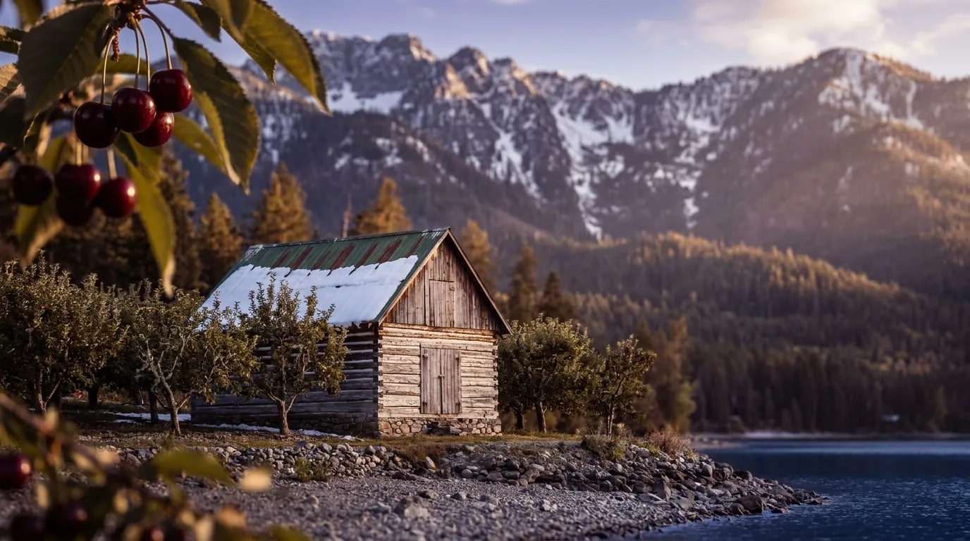
Illustrated landscape of The Hi-Line
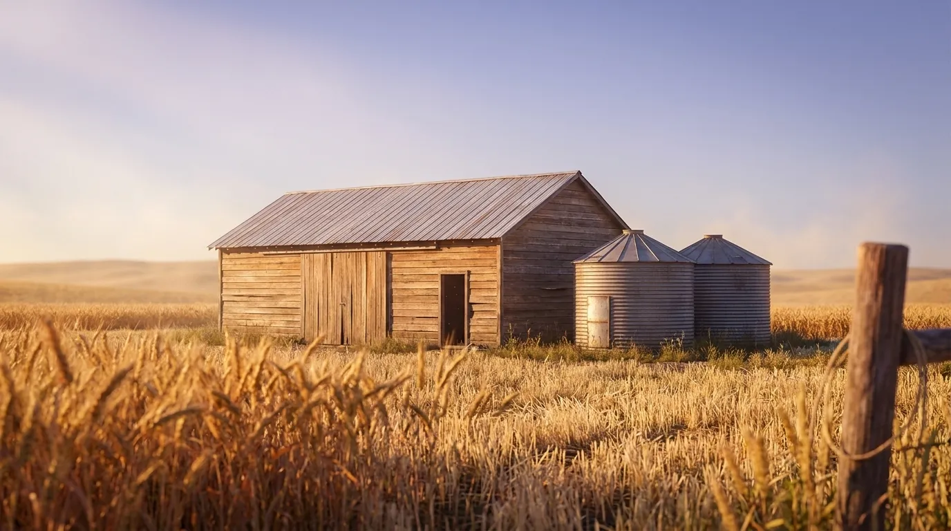
The Hi-LineMontana's coldest, driest strip — the northern-border county tier along US Highway 2 and the BNSF (old Great Northern) line — and the only Growable Ground region reaching USDA zone 3b: the Daniels–Sheridan–Roosevelt corner sits at 3b with just 142–146 frost-free days, a full zone colder than the 5a–6a mountain valleys captured elsewhere in the state. The western and central counties run 4a with 140–159 frost-free days. This is semi-arid dryland-wheat country with extreme winter minima and wide day-to-night diurnal swings; chinook winds moderate only the Glacier–Toole western end, leaving the shortest, most cold-hardy growing palette anywhere in Montana. None of that growing reality is visible on the sprawling statewide page.
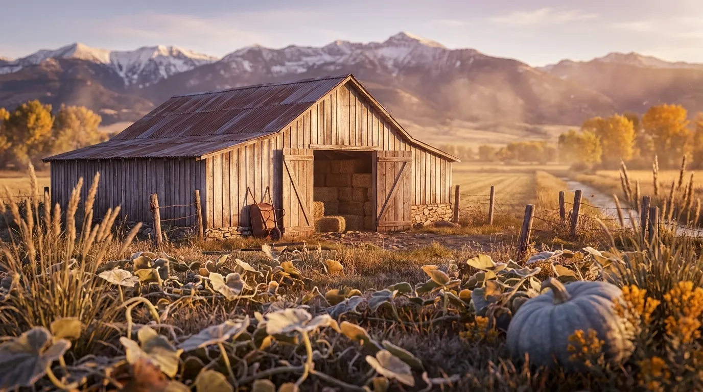
Illustrated landscape of The Yellowstone Valley
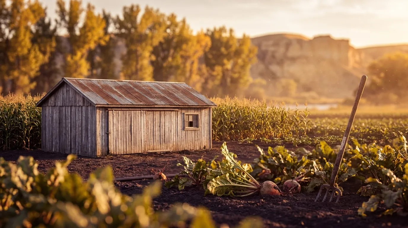
The Yellowstone ValleyMontana's longest growing season sits at its coldest-looking zones. The Yellowstone River bottomland from Billings down to Sidney runs 153-166 frost-free days (county_data.json) across USDA zones 4a-4b — a genuinely longer window than the state's 5a-6a mountain valleys, which sit in warmer zones but freeze sooner (Gallatin 114, Madison 117, Ravalli 146 frost-free days). That long, irrigated plains river-bottom season is what carries the corridor's sugar beets, corn, and full-season vegetables, and it is a distinctly different growing experience from Montana's SW/NW mountain valleys or the Hi-Line that a statewide average flattens away.
Illustrated landscape of The Rocky Mountain Front / Great Falls Chinook Belt
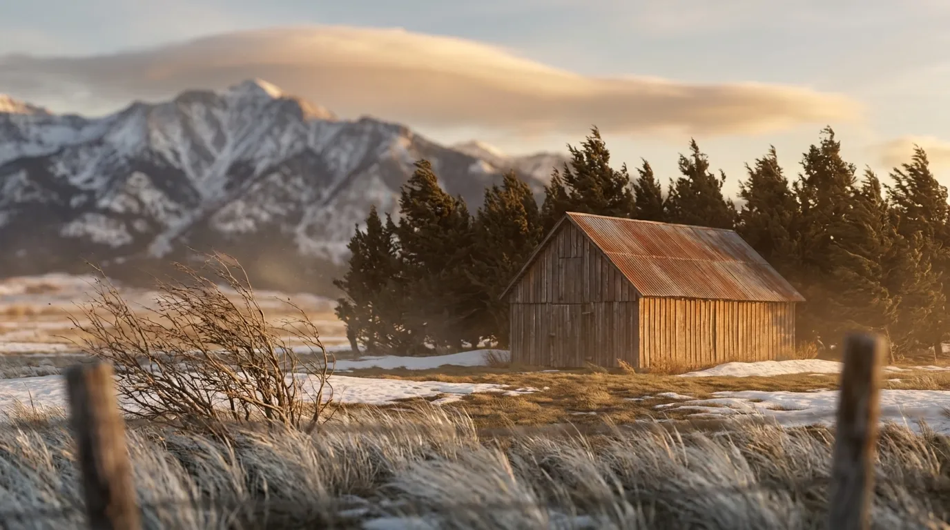
The Rocky Mountain Front / Great Falls Chinook BeltWhere the northern plains slam into the Rocky Mountain Front, chinook winds rewrite the rules of a zone-4 winter. Great Falls earns its "banana belt of the north" name because these warm, dry downslope gales can lift a February morning tens of degrees in an hour — sparing tender crowns the deep cold the Hi-Line just east endures. The same wind is the catch: it desiccates exposed evergreens and perennials and whipsaws plantings through thaw-freeze cycles that split bark and heave roots. Here the decisive question isn't your zone (4a–4b, roughly 140–159 frost-free days) but your parcel's exposure to the Front — which slopes, shelterbelts, and wind-lees the chinook finds, and which it spares.
Illustrated landscape of Bitterroot Valley
Bitterroot ValleyThe Bitterroot Valley runs roughly 95 miles along the Bitterroot River between the Bitterroot Range and the Sapphire Mountains, spanning Ravalli and Missoula counties (USGS) across USDA hardiness zones 5b-6a, where a short 137-to-146-day frost-free season closes early: both counties typically see first frost by late September.
Illustrated landscape of Flathead Valley
Flathead ValleyA mountain-ringed northwest Montana valley whose big lake buffers the cold — sweet cherries on the lakeshore benches, with mint, grain, and hay on the valley floor.
Illustrated landscape of Gallatin Valley
Gallatin ValleySouthwest Montana's Gallatin Valley, the Bozeman-area basin, sits in USDA zone 5a with a short ~114-day frost-free growing season — the last spring frost typically holds until early June and the first fall frost returns by late September.
Explore 1 more growing region

Montana — the short answer

Montana: USDA zones 3a-6b, 59–170 frost-free days depending on the county, 56 counties.

USDA zones
3a-6b
USDA PHZM 2023
Last hard freeze (28°F)
May 2 - May 13
NOAA Regional Climate Centers ACIS, 1991-2020
First hard freeze (28°F)
Sep 28 - Oct 7
NOAA Regional Climate Centers ACIS, 1991-2020
Shortest county season
59 days
NOAA Regional Climate Centers ACIS, 1991-2020, county 28°F killing freeze — Deer Lodge County
Annual rainfall
10-20 inches
NOAA Climate Normals
Counties
56
US Census TIGER/Line 2025

The middle half of this state’s counties. Tender transplants usually wait 2–3 weeks past the last hard freeze. The shortest-season figure is Montana's own county record — Deer Lodge County's measured 28°F normal, not a modeled floor.

Notable frost exceptions

Montana does not have one growing season. Across all 490 of its towns that carry their own 30-year record, the shortest measured season is Wisdom's at 51 days and the longest is St. Ignatius's at 174 — a 123-day spread inside one state.

Neither end is a lone reading — one other town measures within 10 days of Wisdom and 62 sit within 10 days of St. Ignatius. These are real pockets, so the number to plant against is your own town's, not the state average.

NOAA Regional Climate Centers ACIS (1991–2020), 30-year daily minimum record

Zone 3a-6b is Montana's average, not your lot's — a low corner or a tree line moves it. Against Montana's 151-day season, see what your own ground reads.

Montana is not one growing season

One answer for Montana averages 56 counties whose growing seasons are 111 days apart — from 59 frost-free days in Deer Lodge County to 170 in Petroleum County. That is the same state, measured the same way, in the same years. Which end of it your county sits nearer decides what finishes before the first hard freeze.

59 daysDeer Lodge County170 daysPetroleum County

The middle half of 56 counties runs 137158 days, with a median of 150 days — a 111-day span end to end.

Measured across 56 counties, each carrying its own 28°F normal. NOAA Regional Climate Centers ACIS, 1991-2020, county 28°F killing freeze. A county with no record of its own is absent from the range rather than counted as zero — nothing here is interpolated to the state. Your own site sits somewhere inside this range; a parcel report resolves where.

Where the line runs inside Montana

The middle half of Montana runs 137158 frost-free days, and 26 of its 56 counties sit outside that — 13 on the short side, 13 on the long. A statewide planting date describes the middle well and the ends poorly, which is worth knowing before you follow one.

Under 137 frost-free days

13 counties

3 of 13 shown

The end of the state that sets the planting calendar — start seed indoors here and the season stretches to meet the crop.

137–158 frost-free days

30 counties

0 of 30 shown

The middle half of the state, and the part a single statewide date describes well.

Over 158 frost-free days

13 counties

3 of 13 shown

Long enough for a second succession of a quick crop after the first comes out.

Each county is placed by its own 28°F frost-free normal (NOAA Regional Climate Centers ACIS, 1991-2020, county 28°F killing freeze), the same figure its own guide page publishes. Elevation, slope and cold-air drainage move a yard within its county as well — which is the part only your address resolves.

The Ground You’re Working With

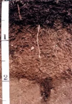
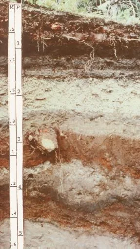
The soil types that dominate Montana — how each drains decides more about crop success than almost anything else. Tap any soil to learn what it is and how to work with it. Each photo is a representative profile of that soil type; the named series is where it was documented, which is often another state.

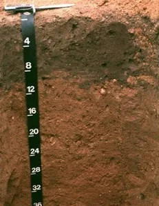
Downer soil profile: reddish sandy loam horizon with a depth scale
Representative Sandy loamSoil profile: Downer series, New Jersey

Sandy loam

  • Drainage

    Fast. The sand fraction opens the soil up, so water moves through the root zone quickly and the surface rarely stays soggy. The trade is that nutrients ride out with the water.

  • What thrives

    Root crops love it — carrots, potatoes, radishes, and onions size up cleanly in ground they can push through. Melons, sweet potatoes, asparagus, and most herbs appreciate the warmth and the drainage.

How to work with Sandy loam
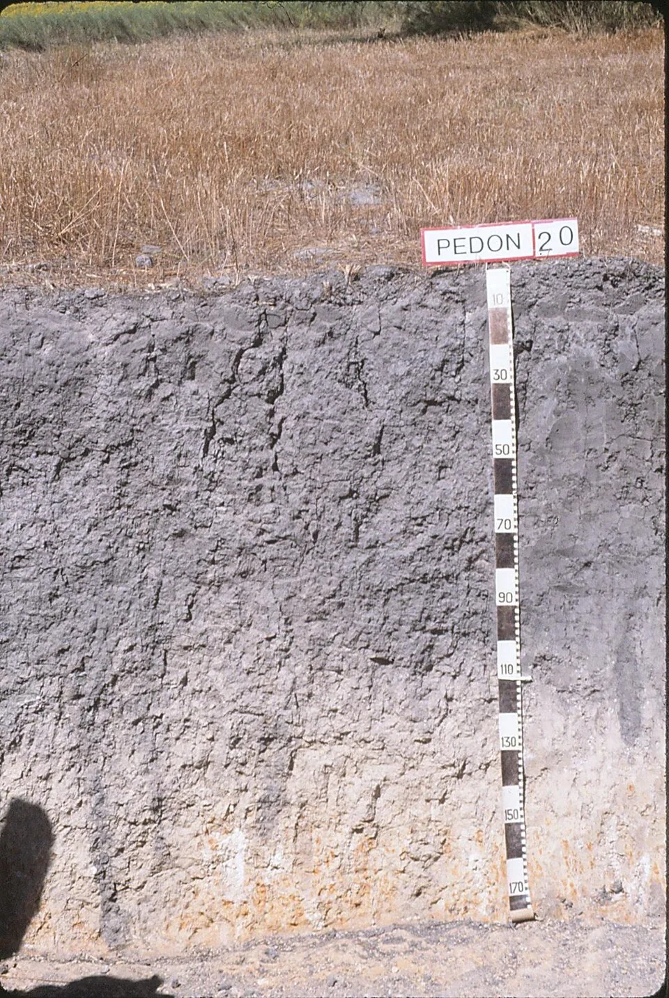
Vertic Argiustoll pedon: dense gray vertic clay profile with a depth scale, Victoria County, Texas
Representative ClaySoil profile: Vertic Argiustoll, Victoria County, TexasPhoto: Soil Science (soilscience.info, NC State), CC BY 2.0 · CC BY 2.0

Clay

  • Drainage

    Slow. Water enters clay reluctantly and leaves it the same way, so wet springs keep it cold and unworkable longer than lighter soils.

  • What thrives

    Once established, heavy feeders prosper — brassicas, beans, corn, and many fruit trees ride clay’s nutrient supply and summer moisture reserve. Daylilies, roses, and prairie perennials handle it without complaint.

How to work with Clay
Lester soil profile: brown unsorted glacial till
Representative Glacial tillSoil profile: Lester series, Minnesota

Glacial till

  • Drainage

    Variable by the shovelful. Sandy till drains freely; dense, compacted till (hardpan) can perch water above it after snowmelt and heavy rain.

  • What thrives

    Apples, stone fruits, brambles, and the whole northern vegetable garden do well on till — much of New England and the upper Midwest farms it. Deep-rooted perennials work through the stony structure happily.

How to work with Glacial till
Andisol profile: layered volcanic-ash soil with a depth scale
Representative Volcanic ashSoil profile: Andisol (USDA soil order)

Volcanic ash

  • Drainage

    Excellent and unusual: ash soils drain freely yet hold remarkable amounts of plant-available water in their porous structure — the best of both habits.

  • What thrives

    Volcanic regions grow celebrated crops the world over: orchards, berries, vegetables, coffee, and wine grapes all prosper on ash-derived soils.

How to work with Volcanic ash

Soil data: USDA NRCS SSURGO · Soil types explained

Is it too late to plant in Montana?

Usually not — gardeners here simply switch what goes in the ground as the season moves. Across Montana, cool-season planting typically opens about four weeks before the local last hard freeze — county medians put that freeze near May 5, with the middle half of counties between May 2 and May 13 (NOAA 1991–2020 climate normals). Tender transplants wait two to three weeks past it, and fall planting counts back from first freezes mostly between Sep 28 and Oct 7 — long-season crops need about 90 days of runway, quick greens only 30. Late in the year the fall bench takes over — quick greens, radishes, and garlic that repays you next summer.

State Symbols of Montana

The plants Montana put its name on — cultural emblems, not growing recommendations.

Official state flower

Bitterroot

Lewisia rediviva

Designated 1894.

Ponderosa pine, photograph
Official state tree

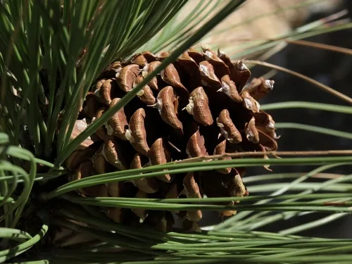
Ponderosa pine

Pinus ponderosa

Designated 1949. In our plant library — see its full growing profile.

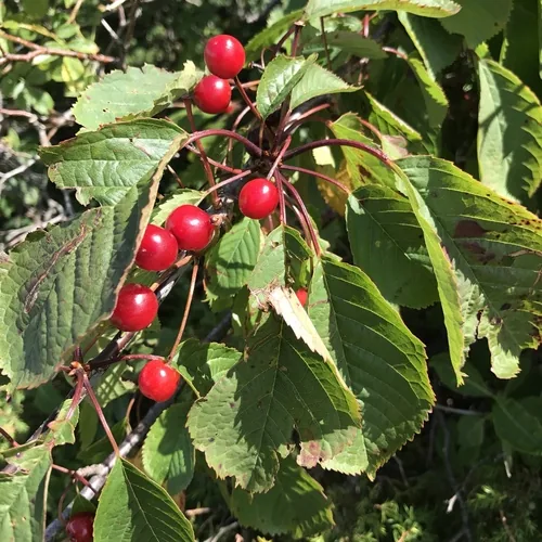
Huckleberry, photograph
Official state fruit

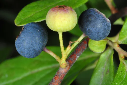
Huckleberry

Designated 2023. In our plant library — see its full growing profile.

Native Plants of Montana

Plants the USDA PLANTS Database documents as native and present in Montana — a real per-state range, not just a zone match. Ordered by how closely each plant’s published hardiness range matches Montana’s zones 3a-6b, so this is a shortlist by climate fit, not a ranking of which plants matter most here. Presence is statewide, so a plant may still be uncommon in your specific county; your state’s Cooperative Extension or a native-plant society is the local authority.

Also zone-compatible

US-native plants whose hardiness range overlaps Montana’s USDA zones 3a-6b but which USDA PLANTS doesn’t map to a single state range here. Zone overlap is a starting filter, not a range map.

Browse all US-native plants by state & zone →

Growing Challenges in Montana

What an experienced grower plans around here — each one has a move.

Very short growing season (60-100 frost-free days)

At 60-100 frost-free days, a high tunnel or cold frame isn't a luxury — it's the difference-maker Montana growers rely on.

Low rainfall requires irrigation in most areas

Drip irrigation plus mulch stretches scarce water a long way — plan the system before the first seed.

Extreme winter cold (-40F possible)

Choose perennials rated for the cold you actually get — a -40°F winter audits every optimistic zone push.

For cultivar selection, pest pressure, and planting-time guidance specific to Montana, the Montana State University Extension is the authoritative local source.

Safe to Grow Here?

What the federal record shows across Montana — and how to grow with it.

Federal record: High

We checked the federal record across Montana22,453 documented sites across 8 of the 9 source types we track.

The most significant on record: 124 Superfund sites. Sites tracked in EPA's Superfund program — from assessment-stage CERCLIS entries to confirmed National Priorities List cleanup sites.

Montana carries one of the heavier federal records we track — and that's not a verdict on your yard. Proximity to a documented site is information, not a diagnosis: nothing here says any particular parcel is affected. It does earn one concrete step — before food beds go in the ground, a professional soil test tells you exactly what you're working with, and raised beds with clean imported soil grow well almost anywhere in the meantime.

Severity Distribution

across Montana

High1,851Moderate14,210Low6,392

Highest-Severity Sites

Acm Smelter and Refinery
Superfund · Superfund NPL
Alpine Village Wua
PFAS Sampling · PFAS Detected
Accident
Mining Sites · Past Producer
Ada
Mining Sites · Past Producer
Ada Mine
Mining Sites · Past Producer

A note from Gnorman

What an experienced grower watches for around here

In and around Montana, two things run higher than the national average across Montana — Mining (4,319 sites) and Nitrate (10,260 sites). That's not a problem with your land — it's information about it.

Mining: Mining sites — both historic and active — can leach heavy metals (arsenic, lead, cadmium, mercury) into soil and water for centuries after operations cease.

Nitrate: Nitrate contamination primarily comes from agricultural fertilizer runoff and failing septic systems.

Test soil for heavy metals (lead, arsenic, cadmium, mercury) — this is essential near any mining site.

Test well water for nitrate if you rely on a private well for irrigation (EPA standard: 10 mg/L).

Sources: EPA, USGS1.8M documented sites tracked nationwide across 9 federal source types.

Your land is one point inside Montana

Everything above resolves to Montana as a whole — a state whose own counties record seasons 111 days apart, and hardiness across zones 3a-6b. Your parcel sits at one point in that range, not in the middle of it. Slope, tree cover, a low spot that pools cold air, and what is in the soil are all resolved at the address, and none of them are visible at state scale. That is the honest boundary of this page, and the reason the next step is a reading of your own ground rather than a better statewide average.

See what grows on YOUR specific land

State averages sketch the shape. Your soil, sun exposure, drainage, and microclimate decide what actually takes. Pull a site-specific report for your exact parcel.

Free Report

Read your Montana parcel

Enter your address. We read your soil, sun, drainage, and frost dates, then score 1,086 plants against the real conditions on your land.

Three things about your lot that Montana averages can't show:

Your soil pHYour frost-free days — Montana averages 151Your sun & shade

We read public map data around Montana — soil, climate, flood, and parcel records. How we handle your address.

25+ data sources read at your address, not the Montana average

How we know this about Montana

The datasets: hardiness from the USDA ARS Plant Hardiness Zone Map 2023, read per county and aggregated to the state band; the growing season from NOAA Regional Climate Centers ACIS 1991–2020 28°F normals, read at each county’s own record; rainfall from NOAA Climate Normals; soils from USDA NRCS SSURGO; boundaries from US Census TIGER/Line 2025; the contamination record from the federal sources named in that beat above. Where a county carries no record of its own, it is absent from the figure rather than filled in.

Common questions about Montana

What USDA hardiness zones are in Montana?

Montana spans USDA hardiness zones 3a-6b — which is to say winter's coldest night runs from about −40°F to 0°F depending where in Montana you are, averaged over 1991–2020 (USDA PHZM 2023).

Is it too late to plant in Montana?

Usually not — gardeners here simply switch what goes in the ground as the season moves. Across Montana, cool-season planting typically opens about four weeks before the local last hard freeze — county medians put that freeze near May 5, with the middle half of counties between May 2 and May 13 (NOAA 1991–2020 climate normals). Tender transplants wait two to three weeks past it, and fall planting counts back from first freezes mostly between Sep 28 and Oct 7 — long-season crops need about 90 days of runway, quick greens only 30. Late in the year the fall bench takes over — quick greens, radishes, and garlic that repays you next summer.

When does frost risk typically end in Montana?

Across Montana, the middle half of counties see their last hard freeze (28°F) between about May 2 and May 13, with a county median near May 5 (NOAA 1991–2020 climate normals). That marks the hard freeze, not the last light frost — lighter frosts keep biting past it, which is why tender transplants here wait until about May 26.

How long is the growing season in Montana?

Measured between 28°F hard freezes, growing seasons across Montana's counties mostly run about 139 to 158 days, with a county median near 151 (NOAA 1991–2020 climate normals). Tender crops get a somewhat shorter practical window, since lighter frosts reach a few weeks past the hard-freeze dates on both ends.

What vegetables grow well in Montana?

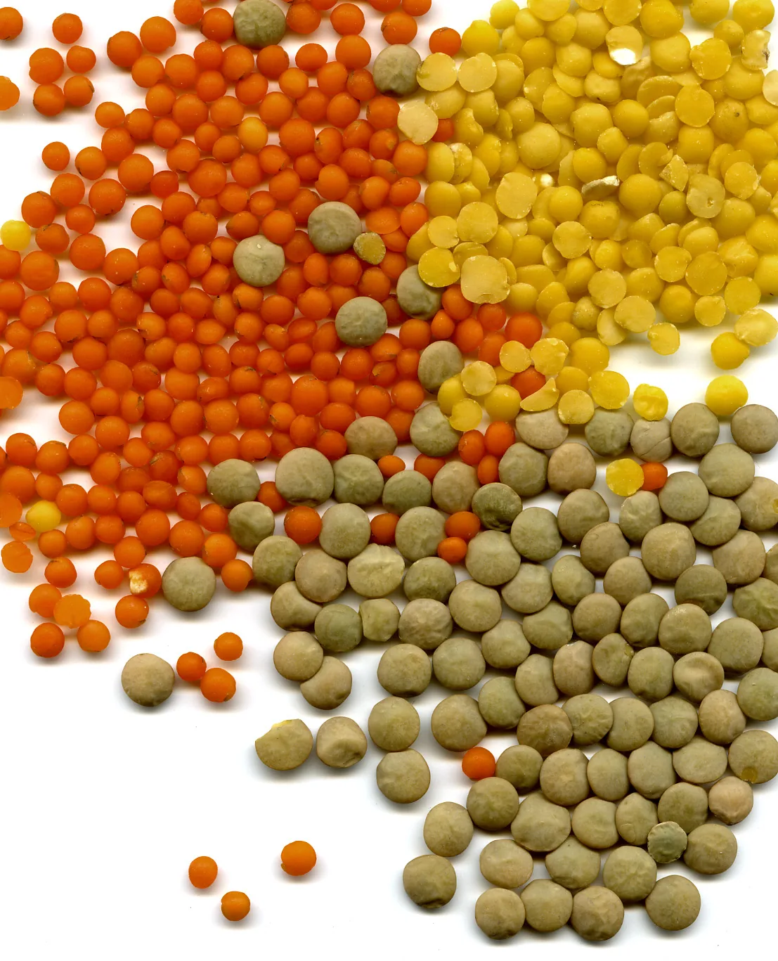
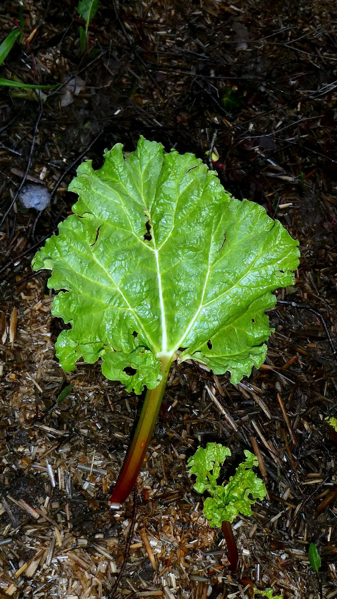
Montana's zones 3a-6b support a wide range — strong performers include Cherry, Potato, Lentil, Ponderosa Pine, and Rhubarb. What actually takes on any one site comes down to its soil, sun, and drainage, and we score each plant against the real conditions at your address.

Which hardiness zone is Montana, really?

Officially, Montana spans USDA zones 3a-6b (USDA PHZM 2023) — but a zone is a 30-year average of winter's coldest night across an area, and it can't see any one yard. A south-facing slope, a tree line, or a low frost pocket can shift a single site by half a zone either way, which is why neighboring gardeners often quote different numbers. We read the conditions at your exact address — soil, sun, slope, and frost — and score 1,086 plants against what's actually there.

Is the soil safe to grow vegetables in Montana?

The federal record across Montana runs heavier than most — 22,453 documented sites, mostly Nitrate entries (10,260) — so test the soil before planting food in the ground, and raised beds with clean imported soil grow well in the meantime. Even here, proximity to a documented site is information, not a diagnosis of any one yard; the contamination map shows exactly what's recorded and where.

Just moved to Montana — what should I know before planting?

Start with three facts. Montana spans USDA zones 3a-6b, which sets what survives winter; last hard freezes range from about May 2 to May 13 across its counties (NOAA 1991–2020 climate normals); and 22,453 documented sites sit on the federal record here, so a soil test before food beds is the smart first step. From there, matching plants to your actual soil and sun is the fun part.

Everything above is measured at Montana's scale — its 3a-6b band and its 151-day season. Your yard writes its own version of Montana's numbers: we read soil, sun, drainage and frost at your exact address. Try it for 14 days — no card required.

What this page reads at Montana’s own scale

6 of the readings below were taken at Montana's own scale — the full zone 3a-6b span inside its borders, the 4 soil types that dominate its ground and 22,453 documented sites on its federal record; anything it cannot resolve at this scale is named below.

Measured here

  • The full span of USDA hardiness zones 3a-6b inside Montana's bordersUSDA PHZM 2023
  • A statewide 28°F hard-freeze window — the middle half of counties run roughly May 2 - May 13 to Sep 28 - Oct 7NOAA Regional Climate Centers ACIS, 1991-2020
  • 10-20 inches of annual rainfall across the stateNOAA Climate Normals
  • A statewide median of about 1,769 growing-degree days and about 2,500 winter chill hours, aggregated county by countyPRISM 1991–2020 normals
  • The 4 soil types that dominate Montana's groundUSDA NRCS SSURGO
  • 22,453 documented contamination sites on the state's federal recordFederal environmental registers

What this page can’t tell you

  • Which single zone your own corner of Montana sits in — zones 3a-6b is the full span across all 56 counties, not a reading anywhere in particularcounty guides
  • When YOUR last frost actually lands — each of the 56 counties below carries its own normal, days to weeks off the statewide windowfrost dates explained
  • The soil pH, drainage, sun hours, and frost pockets on one specific lotwhy one lot differs from the next
Narrow it down: 56 counties in Montana

Cities & Towns in Montana

Explore growing conditions by city or town in Montana.

AbsarokeeActonAlbertonAlderAlzadaAmsterdamAnaconda-Deer Lodge CountyAntelopeArgentaArleeAshlandAugustaAvonAyers Ranch ColonyAzureBabbBainvilleBakerBallantineBasinBataviaBear DanceBearcreekBeaver CreekBelfryBelgradeBelknapBeltBiddleBig ArmBig SandyBig SkyBig Sky ColonyBig Stone ColonyBig TimberBigforkBillingsBirch Creek ColonyBirneyBlack EagleBlackfootBoneauBonner-West RiversideBoulderBox ElderBoydBozemanBradyBrandonBridgerBridgerBroadusBroadviewBrocktonBrockwayBrowningBull LakeBusbyButte-Silver BowBynumCamasCamp ThreeCamrose ColonyCanyon CreekCardwellCarltonCarterCascadeCascade ColonyCentervilleCharloCharlos HeightsChesterChinookChoteauChurchillCircleClancyClintonClyde ParkCoffee CreekColstripColumbia FallsColumbusCondonConnerConradCooke CityCoramCorvallisCorwin SpringsCraigCraneCrow AgencyCulbertsonCusterCut BankCyrDanversDarbyDaytonDe BorgiaDeer LodgeDeerfield ColonyDellDentonDeweyDillonDixonDodsonDrummondDuncan Ranch ColonyDupuyerDuttonEagle Creek ColonyEast End ColonyEast Glacier Park VillageEast HelenaEast Malta ColonyEast MissoulaEdgarEkalakaElkhornEllistonElmoEmigrantEnnisEssexEurekaEvaroEvergreenFair Haven ColonyFairfieldFairviewFallonFinley PointFishtailFlat Willow ColonyFlorenceFlowereeFords Creek ColonyForest Hill VillageForsythFort Belknap AgencyFort BentonFort PeckFort ShawFort SmithFortineForty Mile ColonyFour CornersFoxFox LakeFrazerFrenchtownFroidFrombergGallatin GatewayGallatin River RanchGardinerGarrisonGeraldineGeyserGibson FlatsGildfordGildford ColonyGilmanGlacier ColonyGlasgowGlenGlendale ColonyGlendiveGoldcreekGolden Valley ColonyGrantGrass RangeGreat FallsGreycliffHallHamiltonHappys InnHardinHardyHarlemHarlowtonHarrisonHartland ColonyHauganHavreHavre NorthHaysHeart ButteHebgen Lake EstatesHelenaHelena FlatsHelena Valley NortheastHelena Valley NorthwestHelena Valley SoutheastHelena Valley West CentralHelena West SideHelmvilleHeronHerronHidden Lake ColonyHighwoodHilgerHilldale ColonyHillside ColonyHinghamHinsdaleHobsonHogelandHomesteadHorizon ColonyHot SpringsHungry HorseHuntleyHusonHyshamIndian SpringsInvernessIsmayJacksonJardineJeffersJefferson CityJetteJolietJoplinJordanJudith GapKalispellKerrKevinKicking HorseKilaKilby Butte ColonyKing Arthur ParkKing Ranch ColonyKings PointKingsbury ColonyKleinKremlinLake Mary RonanLakesideLakeviewLame DeerLaredoLaurelLavinaLewistownLewistown HeightsLibbyLimaLincolnLindisfarneLindsayLittle Bitterroot LakeLittle BrowningLivingstonLockwoodLodge GrassLodge PoleLoganLoloLomaLonepineLoring ColonyLutherMalmstrom AFBMaltaMammothManhattanMarionMartin CityMartinsdaleMartinsdale ColonyMarysvilleMaverick MountainMaxvilleMcAllisterMedicine LakeMelstoneMidway ColonyMiles CityMilford ColonyMiller ColonyMissoulaMoccasinMonarchMontana CityMontaquaMooreMountain View ColonyMuddyMusselshellNashuaNeihartNew Miami ColonyNew Rockport ColonyNiaradaNibbeNorrisNorth BrowningNorth Harlem ColonyNoxonNyeOld AgencyOlneyOpheimOrchard HomesOutlookOvandoPabloParadisePark CityParker SchoolPeerlessPendroyPhilipsburgPiltzvillePine CreekPinesdalePinnaclePioneer JunctionPlainsPleasant Valley ColonyPlentywoodPlevnaPolebridgePolsonPompeys PillarPondera ColonyPonderosa PinesPonyPoplarPotomacPowerPrairie Elk ColonyPrayPryorRacetrackRader CreekRadersburgRapeljeRavalliRaynesfordRed LodgeRedstoneReed PointReserveRhodesRicevilleRicheyRiminiRimrock ColonyRiverbendRiverview ColonyRobertsRockport ColonyRockvaleRocky Boy WestRocky Boy's AgencyRocky PointRollinsRonanRoscoeRosebudRoundupRoyRudyardRyegateSacoSaddle ButteSage Creek ColonySalteseSand CouleeSangreySanta RitaSapphire RidgeSavageScobeySedanSeeley LakeSeville ColonyShawmutShelbyShepherdSheridanSidneySilesiaSilver GateSilver StarSimmsSleeping BuffaloSnowslipSomersSouth BrowningSouth GlastonburySouth HillsSpokane CreekSpring Creek ColonySpringdaleSpringdale ColonySpringhillSpringwater ColonySquare ButteSt. IgnatiusSt. MarieSt. MarySt. PierreSt. RegisSt. XavierStanfordStarr SchoolStevensvilleStockettStrykerSulaSun PrairieSun RiverSunburstSunnybrook ColonySuperiorSurprise Creek ColonySwan LakeSweet GrassSylvaniteTerryThe SilosThompson FallsThree ForksTostonTownsendTracyTregoTrout CreekTroyTurahTurnerTurner ColonyTurtle LakeTwin BridgesTwin CreeksTwin Hills ColonyTwodotUlmUnionvilleUticaValierVaughnVictorVirginia CityWalkervilleWarm Spring CreekWeeksvilleWest GlacierWest GlendiveWest HavreWest KootenaiWest YellowstoneWestbyWheatlandWhite HavenWhite Sulphur SpringsWhitefishWhitehallWhitetailWhitewaterWibauxWillow CreekWilsallWindhamWineglassWinifredWinnettWinstonWisdomWise RiverWolf CreekWolf PointWoods BayWordenWyeWyolaYaakYorkZenith ColonyZortmanZurich

States with a Similar Growing Climate

Montana shares its dominant growing region with these states — a useful comparison if you're weighing where a crop will behave the same way.