What Grows in Kentucky

USDA Zones 6a-7b · 42-52 inches annual rainfall

Kentucky spans USDA hardiness zones 6a-7b, with a growing season of about 221 frost-free days — a season with slack in it: successions, late sowings, and long-maturing crops all fit.

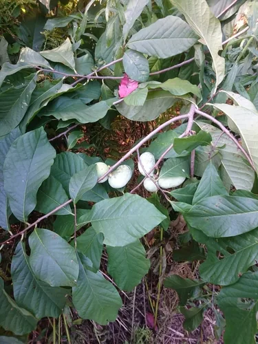
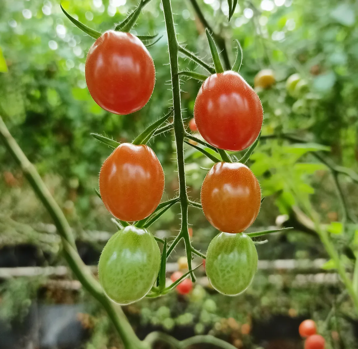
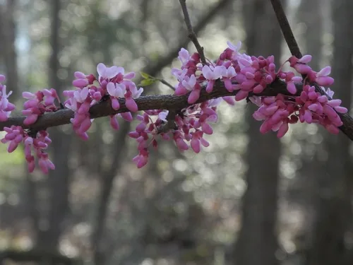
The climate hand here is 42-52 inches of annual rainfall, a median of roughly 3,689 growing-degree days (base 50°F), and about 2,500 winter chill hours for tree fruit — the numbers that decide what ripens comfortably and what runs out of runway. Soils here lean toward silt loam, clay loam, limestone-derived, and alluvial, and each drains differently — the single trait that most often decides whether a crop takes hold. What grows in Kentucky depends on where in it you stand — Appalachia, Ohio River Valley, and Pennyroyal / Pennyrile (South-Central Kentucky Karst Plateau) each run on their own zones and frost timing. Among the crops suited to this profile: pawpaw, tomato, blackberry, and redbud. The site-level story — soil, sun, drainage — decides the rest.

Grounded inUSDA PHZMNOAA Climate NormalsUSDA NRCS SSURGOGDD (PRISM 1991-2020 normals)Chill hours (PRISM 1991-2020 normals)USDA hardiness sub-region mapEPA FRSUSDA PLANTSGrowable Ground suitability scoring

Score your parcel · free

Your yard isn't the whole state.

Kentucky spans zones 6a-7b, but your yard sits in exactly one — and slope, tree cover, and low spots nudge it further. Enter your address and we'll score 1,086 plants against your land's actual soil, sun, and frost.

We read public map data around Kentucky — soil, climate, flood, and parcel records. How we handle your address.

No card required · your full report in seconds

Notable Growing Regions in Kentucky

Distinct growing regions within Kentucky — each has its own zones, soils, and signature crops.

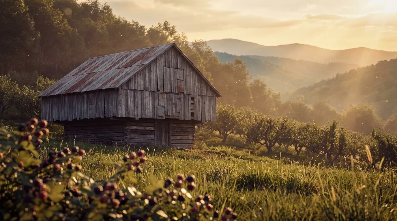
Illustrated landscape of Appalachia
Appalachiaalso spans Alabama, Georgia & 9 moreThe vast eastern mountain region of steep hollows, thin acidic soils, and short upland seasons — apples, brambles, ramps, and forest crops on hard-won ground. (Union of the core Appalachian ecoregions.)
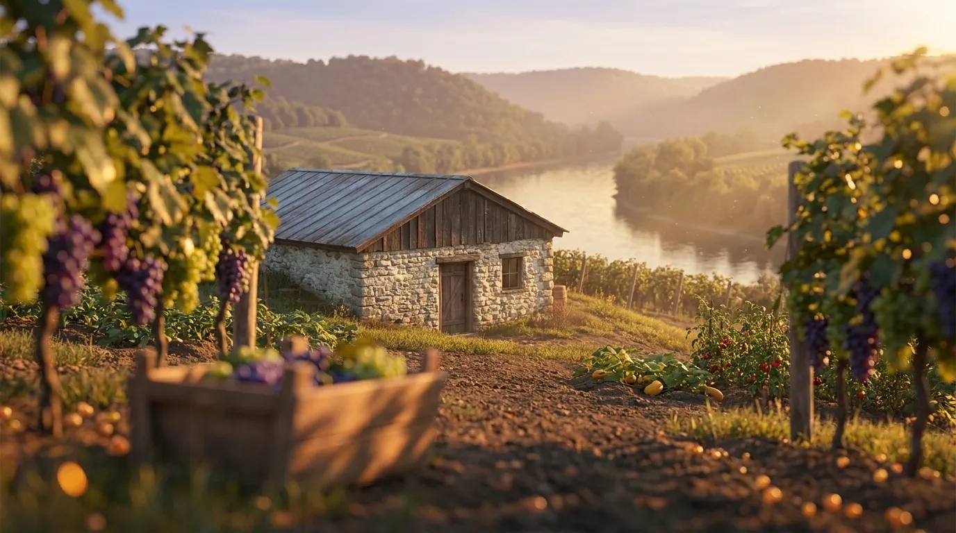
Illustrated landscape of Ohio River Valley
Ohio River Valleyalso spans Indiana & OhioThe warm river ribbon threading three states. The Ohio River's moderating flow gives its frontage counties a longer, milder season (zones 6a-7a, ~221 frost-free days) than the colder uplands just inland — a distinct corridor, not the surrounding hill country. It is also historic American wine country: the Ohio River Valley is a federally recognized winegrowing appellation (TTB AVA, 27 CFR §9.78), and its silty bottomland terraces still favor grapes and river-valley vegetables.
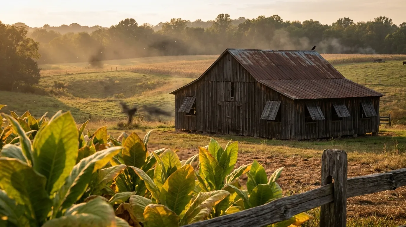
Illustrated landscape of Pennyroyal / Pennyrile (South-Central Kentucky Karst Plateau)
Pennyroyal / Pennyrile (South-Central Kentucky Karst Plateau)South-central Kentucky's Pennyroyal — the Pennyrile — is a Mississippian karst sinkhole plain: a limestone country of sinking creeks and caves where surface water drains straight down instead of pooling. It runs a full USDA zone 7a across all 18 counties with a long 211-238 day frost-free season, distinctly warmer and longer than the cooler Bluegrass to the northeast, and its well-drained cherty limestone soils behave differently from the Bluegrass's rich phosphatic bottomland. This is Kentucky's dark-fired and burley tobacco, corn, soybean, cattle, and hay belt, anchored by the fast-growing Bowling Green and Hopkinsville metros — none of which a flattened statewide page resolves.
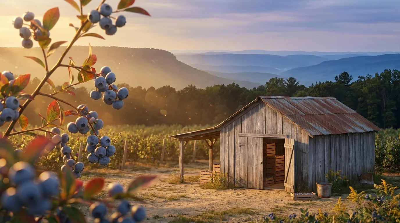
Illustrated landscape of Cumberland Plateau
Cumberland Plateaualso spans TennesseeThe Cumberland Plateau isn't the broad Appalachian average — it's a sandstone tableland riding roughly 1,500 to 2,000 feet above the valleys on either side, and that elevation sets the growing rules here. Across these 14 Kentucky and Tennessee plateau counties (EPA's Southwestern Appalachians ecoregion, the scientific line for the plateau), the hardiness band tightens to 7a-7b and the frost-free season runs close to 210 days — median last frost in early April, first frost in early November, later to warm in spring and quicker to cool in fall than the limestone valleys below. The plateau's other signature is underfoot: acidic, sandy soils weathered from Pennsylvanian sandstone, lean on natural fertility but a genuine fit for blueberries, blackberries, and other acid-loving crops that struggle in the sweet limestone soils of the Bluegrass to the west. Plan for the cooler nights, feed the lean soil, and grow toward what the tableland does well.
Illustrated landscape of Kentucky Bluegrass
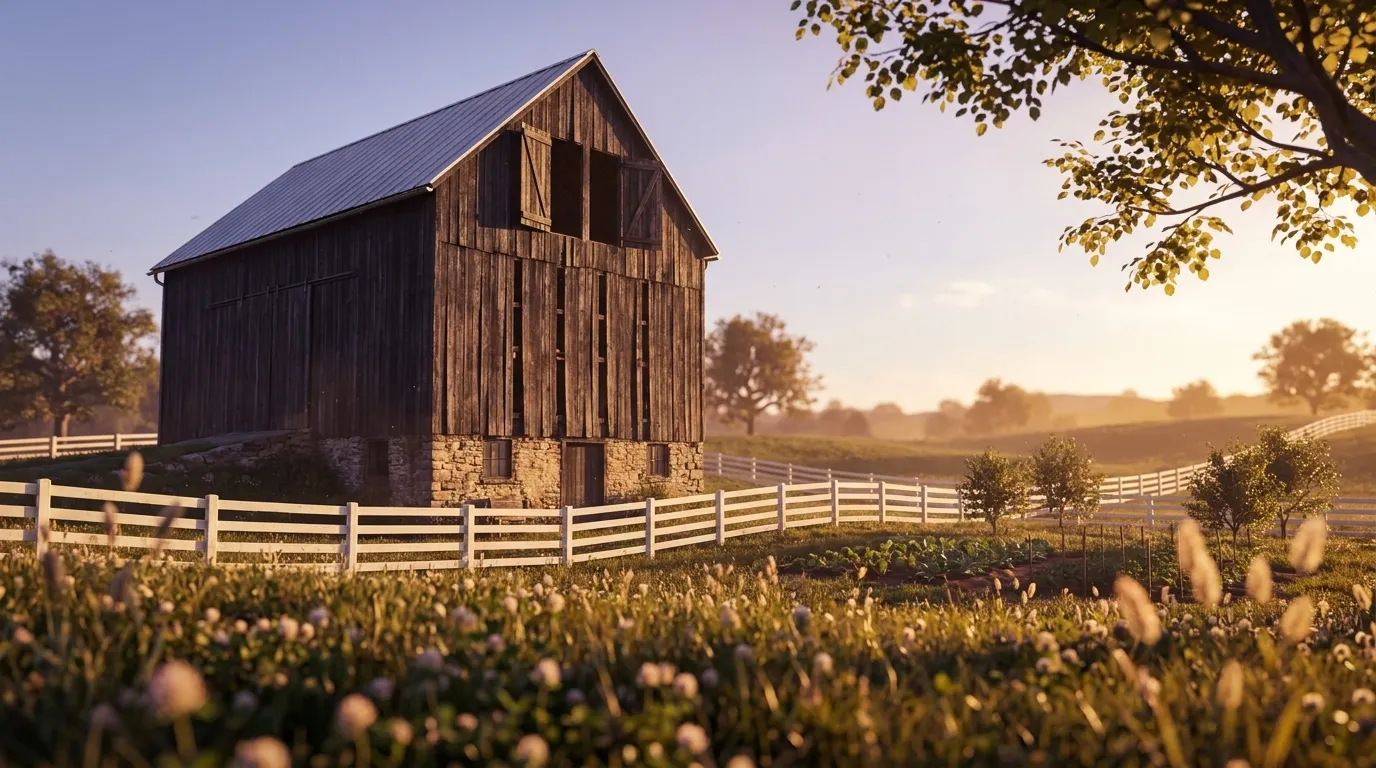
Kentucky BluegrassCentral Kentucky's rolling phosphate-rich limestone soils — famous pasture and tobacco country that also grows excellent vegetables and tree fruit.
Illustrated landscape of Jackson Purchase (Far Western Kentucky)
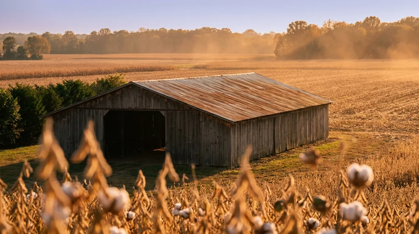
Jackson Purchase (Far Western Kentucky)The Jackson Purchase is Kentucky's warmest, longest-season corner — a flat block of Mississippi Embayment loess and Gulf Coastal-Plain alluvium west of the Tennessee River, geologically unlike the limestone-and-shale uplands that define the rest of the state. Its eight counties (Paducah to Murray) run PHZM zones 7a–7b with roughly 235–240 frost-free days — about two to three weeks longer than Kentucky's eastern mountains — and its crop identity is a west-Tennessee row-crop belt (soybeans, corn, winter wheat, and the northern fringe of cotton) that neither the statewide Kentucky page nor the Bluegrass/Appalachia regions can tell. Distinct from its nearest captured sibling, ohio-river-valley: that is a thin generic river ribbon, while the Purchase is a coherent warm alluvial flatland with its own soil and season.

Kentucky — the short answer

Kentucky: USDA zones 6a-7b, 195–245 frost-free days depending on the county, 120 counties.

USDA zones
6a-7b
USDA PHZM 2023
Last hard freeze (28°F)
Mar 27 - Apr 2
NOAA Regional Climate Centers ACIS, 1991-2020
First hard freeze (28°F)
Nov 4 - Nov 10
NOAA Regional Climate Centers ACIS, 1991-2020
Shortest county season
195 days
NOAA Regional Climate Centers ACIS, 1991-2020, county 28°F killing freeze — Greenup County
Annual rainfall
42-52 inches
NOAA Climate Normals
Counties
120
US Census TIGER/Line 2025

The middle half of this state’s counties. Tender transplants usually wait 2–3 weeks past the last hard freeze. The shortest-season figure is Kentucky's own county record — Greenup County's measured 28°F normal, not a modeled floor.

Notable frost exceptions

Kentucky does not have one growing season. Across all 523 of its towns that carry their own 30-year record, the shortest measured season is Grayson's at 194 days and the longest is Shively's at 250 — a 56-day spread inside one state.

Neither end is a lone reading — another 8 towns measure within 10 days of Grayson and 29 sit within 10 days of Shively. These are real pockets, so the number to plant against is your own town's, not the state average.

NOAA Regional Climate Centers ACIS (1991–2020), 30-year daily minimum record

Zone 6a-7b is Kentucky's average, not your lot's — a low corner or a tree line moves it. Against Kentucky's 221-day season, see what your own ground reads.

Kentucky is not one growing season

One answer for Kentucky averages 120 counties whose growing seasons are 50 days apart — from 195 frost-free days in Greenup County to 245 in Jefferson County. That is the same state, measured the same way, in the same years. Which end of it your county sits nearer decides what finishes before the first hard freeze.

195 daysGreenup County245 daysJefferson County

The middle half of 120 counties runs 216227 days, with a median of 221 days — a 50-day span end to end.

Measured across 120 counties, each carrying its own 28°F normal. NOAA Regional Climate Centers ACIS, 1991-2020, county 28°F killing freeze. A county with no record of its own is absent from the range rather than counted as zero — nothing here is interpolated to the state. Your own site sits somewhere inside this range; a parcel report resolves where.

Where the line runs inside Kentucky

The middle half of Kentucky runs 216227 frost-free days, and 57 of its 120 counties sit outside that — 27 on the short side, 30 on the long. A statewide planting date describes the middle well and the ends poorly, which is worth knowing before you follow one.

Under 216 frost-free days

27 counties

3 of 27 shown

The end of the state that sets the planting calendar — start seed indoors here and the season stretches to meet the crop.

216–227 frost-free days

63 counties

0 of 63 shown

The middle half of the state, and the part a single statewide date describes well.

Over 227 frost-free days

30 counties

3 of 30 shown

Long enough for a second succession of a quick crop after the first comes out.

Each county is placed by its own 28°F frost-free normal (NOAA Regional Climate Centers ACIS, 1991-2020, county 28°F killing freeze), the same figure its own guide page publishes. Elevation, slope and cold-air drainage move a yard within its county as well — which is the part only your address resolves.

The Ground You’re Working With

The soil types that dominate Kentucky — how each drains decides more about crop success than almost anything else. Tap any soil to learn what it is and how to work with it. Each photo is a representative profile of that soil type; the named series is where it was documented, which is often another state.

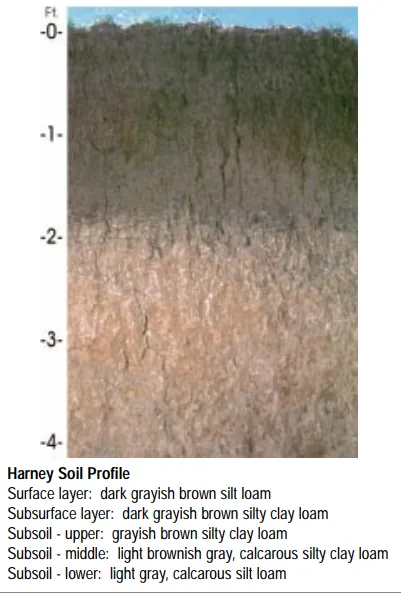
Harney soil profile: deep loessal silt loam with a dark grayish-brown surface
Representative Silt loamSoil profile: Harney series, Kansas

Silt loam

  • Drainage

    Moderate. Silt holds water well and releases it steadily, though the fine particles can crust after hard rain and compact under traffic.

  • What thrives

    The full vegetable garden does well here, and small grains, corn, and leafy greens are classic silt-loam crops. Its steady moisture suits shallow-rooted plants that dislike drought stress.

How to work with Silt loam

Loam tilted toward clay — heavier in the hand, slower to dry, and richer in nutrients than its sandier cousins. Clay particles carry a surface charge that holds fertilizer and minerals where roots can reach them.

Clay loam

  • Drainage

    Slow to moderate. Water lingers in the root zone longer than in loam, which is a gift in dry summers and a challenge in wet springs.

  • What thrives

    Heavy feeders that appreciate steady moisture — brassicas, corn, beans, and many fruit trees. Perennials with strong root systems establish well once they are through the first season.

How to work with Clay loam
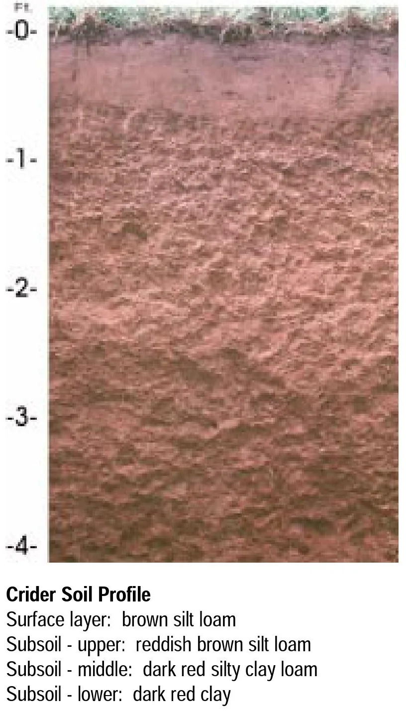
Crider soil profile: deep reddish silt loam over clay, weathered from limestone
Representative Limestone-derivedSoil profile: Crider series, Kentucky

Limestone-derived

  • Drainage

    Good to fast: fractured limestone under the soil carries water away quickly, and shallow profiles dry sooner than deep ones.

  • What thrives

    Lime-loving plants prosper — lavender, thyme, sage, brassicas, beets, figs, and wine grapes have limestone pedigrees worldwide. Many native wildflowers of glade and prairie are limestone specialists.

How to work with Limestone-derived
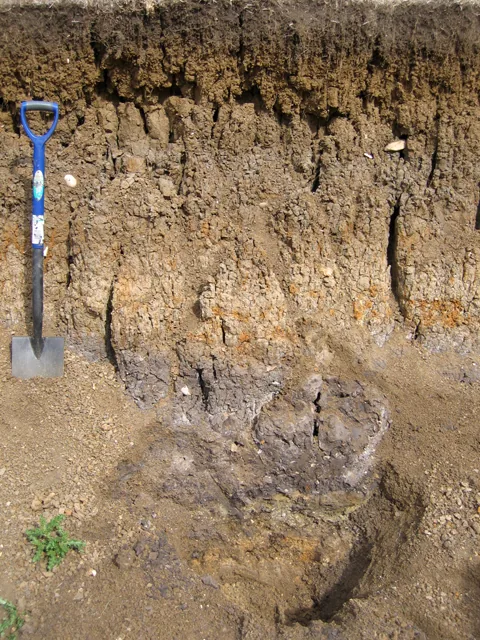
Layered river-laid alluvium in a floodplain soil pit, with a spade for scale
Representative AlluvialRiver-alluvium profile (Fladbury series), Great Ouse floodplainPhoto: Rodney Burton, Geograph, CC BY-SA 2.0 · CC BY-SA 2.0

Alluvial

  • Drainage

    Usually good: rivers sort their loads, and most alluvial soils have enough sand and silt to move water while holding plenty for roots. Low-lying pockets can run wet.

  • What thrives

    Nearly everything — vegetables, orchards, vines, and berries all prosper on alluvium. Its depth lets roots go as far down as they care to.

How to work with Alluvial

Soil data: USDA NRCS SSURGO · Soil types explained

Is it too late to plant in Kentucky?

Almost never — the real question is what to plant next. Across Kentucky, cool-season planting typically opens about four weeks before the local last hard freeze — county medians put that freeze near Mar 31, with the middle half of counties between Mar 27 and Apr 2 (NOAA 1991–2020 climate normals). Tender transplants wait two to three weeks past it, and fall planting counts back from first freezes mostly between Nov 4 and Nov 10 — long-season crops need about 90 days of runway, quick greens only 30. A long window like this one runs successions deep into fall — and even its last weeks take quick greens and garlic.

State Symbols of Kentucky

The plants Kentucky put its name on — cultural emblems, not growing recommendations.

Official state flower

Goldenrod

Solidago gigantea

Designated 1926.

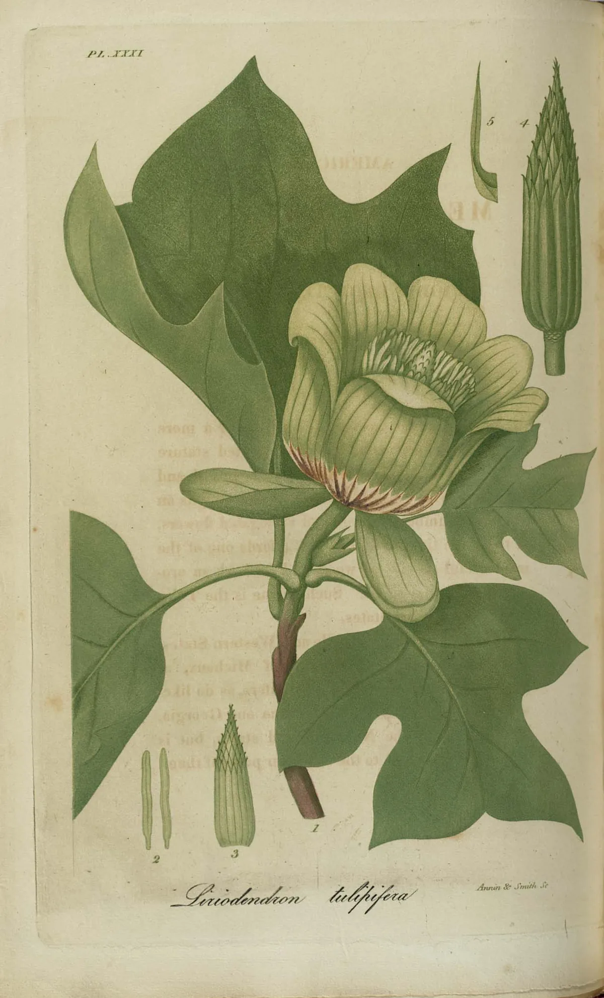
Tulip poplar, botanical illustration
Official state tree

Tulip poplar

Liriodendron tulipifera

Designated 1994. In our plant library — see its full growing profile.

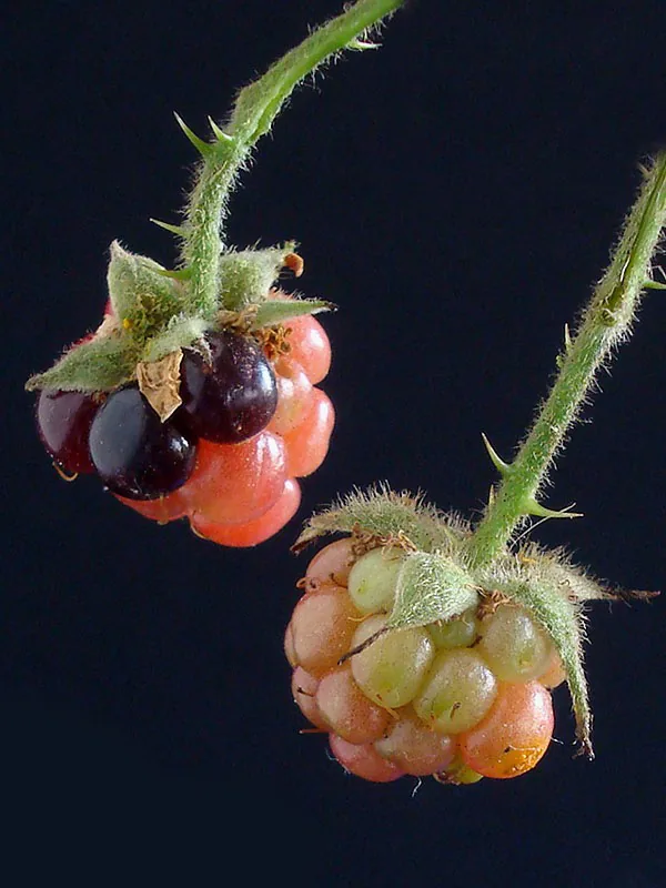
Blackberry, photograph
Official state fruit

Blackberry

Designated 2004. In our plant library — see its full growing profile.

Native Plants of Kentucky

Plants the USDA PLANTS Database documents as native and present in Kentucky — a real per-state range, not just a zone match. Ordered by how closely each plant’s published hardiness range matches Kentucky’s zones 6a-7b, so this is a shortlist by climate fit, not a ranking of which plants matter most here. Presence is statewide, so a plant may still be uncommon in your specific county; your state’s Cooperative Extension or a native-plant society is the local authority.

Also zone-compatible

US-native plants whose hardiness range overlaps Kentucky’s USDA zones 6a-7b but which USDA PLANTS doesn’t map to a single state range here. Zone overlap is a starting filter, not a range map.

Browse all US-native plants by state & zone →

Growing Challenges in Kentucky

What an experienced grower plans around here — each one has a move.

Heavy clay soils in the Bluegrass region

Bluegrass clay opens up with steady compost — or start above it in a raised bed and grow while the ground improves.

High humidity promotes fungal diseases

Space wide, water mornings at the base, and favor resistant varieties — your extension's disease-resistant lists earn their keep here.

Karst topography creates drainage unpredictability

Karst ground drains erratically — watch where water goes in a hard rain before siting beds, and mound up where it lingers.

For cultivar selection, pest pressure, and planting-time guidance specific to Kentucky, the University of Kentucky Cooperative Extension is the authoritative local source.

Safe to Grow Here?

What the federal record shows across Kentucky — and how to grow with it.

Federal record: High

We checked the federal record across Kentucky25,103 documented sites across 8 of the 9 source types we track.

The most significant on record: 219 Superfund sites. Sites tracked in EPA's Superfund program — from assessment-stage CERCLIS entries to confirmed National Priorities List cleanup sites.

Kentucky carries one of the heavier federal records we track — and that's not a verdict on your yard. Proximity to a documented site is information, not a diagnosis: nothing here says any particular parcel is affected. It does earn one concrete step — before food beds go in the ground, a professional soil test tells you exactly what you're working with, and raised beds with clean imported soil grow well almost anywhere in the meantime.

Severity Distribution

across Kentucky

High156Moderate9,612Low15,335

Highest-Severity Sites

A.L. Taylor (Valley of Drums)
Superfund · Superfund NPL
Airco
Superfund · Superfund NPL
Ashland Water Works
PFAS Sampling · PFAS Detected
Barbourville Utilities
PFAS Sampling · PFAS Detected
Bath County Water District
PFAS Sampling · PFAS Detected

A note from Gnorman

What an experienced grower watches for around here

In and around Kentucky, two things run higher than the national average across Kentucky — Underground Storage Tanks (16,761 sites) and PFAS (221 sites). Knowing it is half the work — and it's nothing a thoughtful grower can't plan for.

Underground Storage Tanks: Underground storage tanks are the single most common source of soil contamination near homes and gardens.

PFAS: PFAS (per- and polyfluoroalkyl substances) are called "forever chemicals" because they do not biodegrade.

Use raised beds with imported soil — this eliminates the primary soil-contact pathway.

Test irrigation water source — this is the primary pathway for PFAS to reach garden crops.

Sources: EPA, USGS1.8M documented sites tracked nationwide across 9 federal source types.

Your land is one point inside Kentucky

Everything above resolves to Kentucky as a whole — a state whose own counties record seasons 50 days apart, and hardiness across zones 6a-7b. Your parcel sits at one point in that range, not in the middle of it. Slope, tree cover, a low spot that pools cold air, and what is in the soil are all resolved at the address, and none of them are visible at state scale. That is the honest boundary of this page, and the reason the next step is a reading of your own ground rather than a better statewide average.

See what grows on YOUR specific land

State averages sketch the shape. Your soil, sun exposure, drainage, and microclimate decide what actually takes. Pull a site-specific report for your exact parcel.

Free Report

Read your Kentucky parcel

Enter your address. We read your soil, sun, drainage, and frost dates, then score 1,086 plants against the real conditions on your land.

Three things about your lot that Kentucky averages can't show:

Your soil pHYour frost-free days — Kentucky averages 221Your sun & shade

We read public map data around Kentucky — soil, climate, flood, and parcel records. How we handle your address.

25+ data sources read at your address, not the Kentucky average

How we know this about Kentucky

The datasets: hardiness from the USDA ARS Plant Hardiness Zone Map 2023, read per county and aggregated to the state band; the growing season from NOAA Regional Climate Centers ACIS 1991–2020 28°F normals, read at each county’s own record; rainfall from NOAA Climate Normals; soils from USDA NRCS SSURGO; boundaries from US Census TIGER/Line 2025; the contamination record from the federal sources named in that beat above. Where a county carries no record of its own, it is absent from the figure rather than filled in.

Common questions about Kentucky

What USDA hardiness zones are in Kentucky?

Kentucky spans USDA hardiness zones 6a-7b — which is to say winter's coldest night runs from about −10°F to 10°F depending where in Kentucky you are, averaged over 1991–2020 (USDA PHZM 2023).

Is it too late to plant in Kentucky?

Almost never — the real question is what to plant next. Across Kentucky, cool-season planting typically opens about four weeks before the local last hard freeze — county medians put that freeze near Mar 31, with the middle half of counties between Mar 27 and Apr 2 (NOAA 1991–2020 climate normals). Tender transplants wait two to three weeks past it, and fall planting counts back from first freezes mostly between Nov 4 and Nov 10 — long-season crops need about 90 days of runway, quick greens only 30. A long window like this one runs successions deep into fall — and even its last weeks take quick greens and garlic.

When does frost risk typically end in Kentucky?

Across Kentucky, the middle half of counties see their last hard freeze (28°F) between about Mar 27 and Apr 2, with a county median near Mar 31 (NOAA 1991–2020 climate normals). That marks the hard freeze, not the last light frost — lighter frosts keep biting past it, which is why tender transplants here wait until about Apr 21.

How long is the growing season in Kentucky?

Measured between 28°F hard freezes, growing seasons across Kentucky's counties mostly run about 216 to 227 days, with a county median near 221 (NOAA 1991–2020 climate normals). Tender crops get a somewhat shorter practical window, since lighter frosts reach a few weeks past the hard-freeze dates on both ends.

What vegetables grow well in Kentucky?

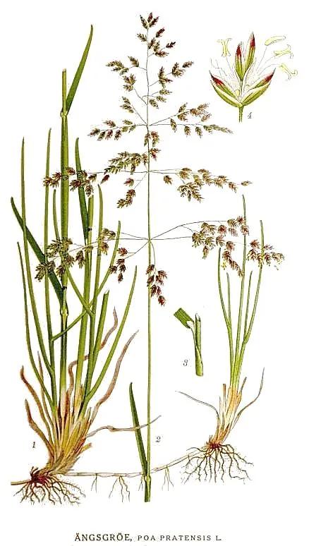
Kentucky's zones 6a-7b support a wide range — strong performers include Pawpaw, Tomato, Blackberry, Redbud, and Kentucky Bluegrass. What actually takes on any one site comes down to its soil, sun, and drainage, and we score each plant against the real conditions at your address.

Which hardiness zone is Kentucky, really?

Officially, Kentucky spans USDA zones 6a-7b (USDA PHZM 2023) — but a zone is a 30-year average of winter's coldest night across an area, and it can't see any one yard. A south-facing slope, a tree line, or a low frost pocket can shift a single site by half a zone either way, which is why neighboring gardeners often quote different numbers. We read the conditions at your exact address — soil, sun, slope, and frost — and score 1,086 plants against what's actually there.

Is the soil safe to grow vegetables in Kentucky?

The federal record across Kentucky runs heavier than most — 25,103 documented sites, mostly Underground Storage Tanks entries (16,761) — so test the soil before planting food in the ground, and raised beds with clean imported soil grow well in the meantime. Even here, proximity to a documented site is information, not a diagnosis of any one yard; the contamination map shows exactly what's recorded and where.

Just moved to Kentucky — what should I know before planting?

Start with three facts. Kentucky spans USDA zones 6a-7b, which sets what survives winter; last hard freezes range from about Mar 27 to Apr 2 across its counties (NOAA 1991–2020 climate normals); and 25,103 documented sites sit on the federal record here, so a soil test before food beds is the smart first step. From there, matching plants to your actual soil and sun is the fun part.

Everything above is measured at Kentucky's scale — its 6a-7b band and its 221-day season. Your yard writes its own version of Kentucky's numbers: we read soil, sun, drainage and frost at your exact address. Try it for 14 days — no card required.

What this page reads at Kentucky’s own scale

6 of the readings below were taken at Kentucky's own scale — the full zone 6a-7b span inside its borders, the 4 soil types that dominate its ground and 25,103 documented sites on its federal record; anything it cannot resolve at this scale is named below.

Measured here

  • The full span of USDA hardiness zones 6a-7b inside Kentucky's bordersUSDA PHZM 2023
  • A statewide 28°F hard-freeze window — the middle half of counties run roughly Mar 27 - Apr 2 to Nov 4 - Nov 10NOAA Regional Climate Centers ACIS, 1991-2020
  • 42-52 inches of annual rainfall across the stateNOAA Climate Normals
  • A statewide median of about 3,689 growing-degree days and about 2,500 winter chill hours, aggregated county by countyPRISM 1991–2020 normals
  • The 4 soil types that dominate Kentucky's groundUSDA NRCS SSURGO
  • 25,103 documented contamination sites on the state's federal recordFederal environmental registers

What this page can’t tell you

  • Which single zone your own corner of Kentucky sits in — zones 6a-7b is the full span across all 120 counties, not a reading anywhere in particularcounty guides
  • When YOUR last frost actually lands — each of the 120 counties below carries its own normal, days to weeks off the statewide windowfrost dates explained
  • The soil pH, drainage, sun hours, and frost pockets on one specific lotwhy one lot differs from the next
Narrow it down: 120 counties in Kentucky

Cities & Towns in Kentucky

Explore growing conditions by city or town in Kentucky.

AdairvilleAgesAlbanyAlexandriaAllenAllensvilleAnchorageAnnvilleAnthostonArjayArlingtonArtemusAshlandAuburnAudubon ParkAugustaAuxierBancroftBandanaBarbourmeadeBarbourvilleBardstownBardwellBarlowBeattyvilleBeaver DamBedfordBeech GroveBeechmontBeechwood VillageBelfryBellefonteBellemeadeBelleviewBellevueBenhamBentonBereaBerryBetsy LayneBig CliftyBlackeyBlaineBlandvilleBloomfieldBlue Ridge ManorBonnievilleBoonevilleBostonBowling GreenBradfordsvilleBrandenburgBreckinridge CenterBremenBrodheadBromleyBrooksBrooksvilleBrownsboro FarmBrownsvilleBuckhornBucknerBuffaloBurginBurkesvilleBurlingtonBurnaBurnsideButlerCadizCalhounCaliforniaCalvert CityCamargoCampbellsburgCampbellsvilleCamptonCaneyvilleCannonsburgCarlisleCarrolltonCatlettsburgCave CityCawoodCayceCeciliaCentertownCentral CityCeruleanChaplinClarksonClaryvilleClayClay CityCleatonClintonCloverportCoal Run VillageCold SpringColdironColdstreamColumbiaColumbusCombsCorbinCorinthCorydonCovingtonCoxtonCrab OrchardCrayneCrescent SpringsCrestviewCrestview HillsCrestwoodCrittendenCroftonCumberlandCunninghamCurdsvilleCynthianaDanvilleDawson SpringsDaytonDexterDiablockDixonDoe ValleyDouglass HillsDoverDrakesboroDry RidgeDunmorDwaleEarlingtonEast BernstadtEddyvilleEdgewoodEdmontonEkronElizabethtownElizavilleElk CreekElkhorn CityElktonElsmereEminenceEmlynErlangerEubankEvartsEwingEzelFairfieldFairviewFairviewFalmouthFancy FarmFarleyFarmersFarmingtonFergusonFincastleFlat LickFlatwoodsFleming-NeonFlemingsburgFlorenceFordsvilleForest HillsFort Campbell NorthFort KnoxFort MitchellFort ThomasFort WrightFountain RunFox ChaseFrancisvilleFrankfortFranklinFredoniaFreeburnFrenchburgFultonGamalielGarrisonGeorgetownGermantownGhentGilbertsvilleGlasgowGlencoeGlenviewGlenview HillsGoshenGraceyGrand RiversGratzGraymoor-DevondaleGraysonGreen SpringGreensburgGreenupGreenvilleGuthrieHansonHardinHardinsburgHardyvilleHarlanHarrodsburgHartfordHawesvilleHazardHazelHazel GreenHebronHebron EstatesHendersonHendronHeritage CreekHickmanHickoryHigh BridgeHighland HeightsHills and DalesHillviewHindmanHisevilleHodgenvilleHollow CreekHollyvillaHopkinsvilleHorse CaveHouston AcresHurstbourneHurstbourne AcresHustonvilleHydenIndependenceIndian HillsInezIronvilleIrvineIrvingtonIslandJacksonJamestownJeffJeffersontownJeffersonvilleJenkinsJunction CityKeeneKenvirKevilKnottsvilleKuttawaLa CenterLa GrangeLaFayetteLakeside ParkLakeview HeightsLancasterLangdon PlaceLawrenceburgLebanonLebanon JunctionLedbetterLeitchfieldLewisburgLewisportLexington-Fayette urban countyLibertyLivermoreLivingstonLondonLorettoLouisaLouisvilleLouisville/Jefferson County metro governmentLovelacevilleLowesLoyallLudlowLynchLyndonLynnviewMaceoMackvilleMadisonvilleMagnoliaManchesterManitouMarionMarrowboneMartinMasonvilleMassacMayfieldMaykingMays LickMaysvilleMaytownMcCarrMcDowellMcHenryMcKeeMcKinneyMcRobertsMeadow ValeMelbourneMentorMiddlesboroughMiddletownMidwayMillersburgMillstoneMiltonMockingbird ValleyMontereyMonticelloMoreheadMorganfieldMorgantownMortons GapMoseleyvilleMount OlivetMount SterlingMount VernonMount WashingtonMuldraughMunfordvilleMurrayMurray HillNeboNew CastleNew HavenNew HopeNewportNicholasvilleNorth CorbinNorth MiddletownNorthfieldNortonvilleNorwoodOak GroveOakbrookOaklandOld Brownsboro PlaceOlive HillOneidaOntonOrchard Grass HillsOwensboroOwentonOwingsvillePaducahPaintsvillePantherParisPark CityPark HillsPathforkPayne GapPembrokePerryvillePetersburgPewee ValleyPhelpsPhilpotPikevillePine KnotPinevillePioneer VillagePippa PassesPlanoPlantationPleasant RidgePleasant ViewPleasurevillePlum SpringsPoolePowderlyPrestonsburgPrestonvillePrincetonProspectProvidencePryorsburgRabbit HashRacelandRadcliffRavennaRaywickReidlandRichlawnRichmondRineyvilleRiver BluffRiverwoodRobardsRochesterRockholdsRockportRolling FieldsRolling HillsRosineRussellRussell SpringsRussellvilleRyland HeightsSacramentoSadievilleSalemSalt LickSalvisaSalyersvilleSandersSandy HookSardisScience HillScottsvilleSebreeSedaliaSeneca GardensSharpsburgShelbyvilleShepherdsvilleShivelySilver GroveSimpsonvilleSlaughtersSmithfieldSmithlandSmiths GroveSomersetSonoraSorghoSouth CarrolltonSouth Park ViewSouth ShoreSouth WallinsSouth WilliamsonSouthgateSpartaSpottsvilleSpring ValleySpringfieldSt. CharlesSt. JosephSt. MarySt. MatthewsSt. Regis ParkStamping GroundStanfordStanleyStantonStearnsStrathmoor VillageSturgisSummer ShadeSummersvilleSymsoniaTaylor MillTaylorsvilleTen BroeckThrustonToluTompkinsvilleTrentonUnionUniontownUptonUticaVan LearVanceburgVeronaVersaillesViccoVilla HillsVine GroveVirgieWallins CreekWaltonWarfieldWarsawWater ValleyWatterson ParkWaverlyWaylandWest BuechelWest LibertyWest LouisvilleWest PointWest Van LearWestportWestwoodWestwoodWheatcroftWheelwrightWhite PlainsWhitesburgWhitesvilleWhitley CityWickliffeWilderWilliamsburgWilliamstownWillisburgWilmoreWinchesterWindy HillsWingoWoodburnWoodburyWoodland HillsWoodlawn ParkWorthingtonWorthington HillsWorthvilleWurtlandYelvington

States with a Similar Growing Climate

Kentucky shares its dominant growing region with these states — a useful comparison if you're weighing where a crop will behave the same way.